Wachapreague Inlet is a Virginia Eastern Shore fishery linking broad salt-marsh creeks and barrier-island channels with the Atlantic. Summer flounder, weakfish, and black drum are the principal supported targets.
Active coastal or marine alerts
Coastal Flood Watch
Severity: Moderate
The Coastal Flood Watch has been replaced. Please see the latest information from NWS Wakefield VA on this developing situation.
Begins Oct 21, 2026, 1:00 AM · Ends Oct 21, 2026, 10:00 PM
If travel is required, allow extra time as some roads may be closed. Do not drive around barricades or through water of unknown depth. Take the necessary actions to protect flood-prone property. Inexperienced swimmers should remain out of the water due to dangerous surf condit…
High Surf Advisory issued October 20 at 4:21AM EDT until October 22 at 7:00AM EDT by NWS Wakefield VA
Begins Oct 20, 2026, 4:21 AM · Ends Oct 22, 2026, 7:00 AM
If travel is required, allow extra time as some roads may be closed. Do not drive around barricades or through water of unknown depth. Take the necessary actions to protect flood-prone property. Inexperienced swimmers should remain out of the water due to dangerous surf condit…
Coastal Flood Advisory issued October 20 at 4:21AM EDT until October 22 at 10:00AM EDT by NWS Wakefield VA
Begins Oct 20, 2026, 12:00 PM · Ends Oct 22, 2026, 10:00 AM
If travel is required, allow extra time as some roads may be closed. Do not drive around barricades or through water of unknown depth. Take the necessary actions to protect flood-prone property. Inexperienced swimmers should remain out of the water due to dangerous surf condit…
Tidal-current predictions are not available for this destination.
Tidal-current timing can differ from high and low tide timing.
Fishery Profile
Fishery Overview
Wachapreague Inlet seaside back-bay boat fishery
An Eastern Shore barrier-island inlet and back-bay boat fishery at Wachapreague. The town marina ramp is the proven public access. VMRC treats Eastern Shore seaside inlets as summer flounder, weakfish, and black drum water.
Fishery type
Seaside inlet back bay
Fishing modes
Inshore boat
Habitat and structure
Wachapreague Inlet throat between barrier islands · Back-bay channels, marsh edges, and flats inside Bradford and Burtons bays · Seaside inlet bars and channel edges
Static seasonal guidance · Last reviewed Aug 16, 2026
Not a live bite forecast.
Fishery Targets
VMRC places Eastern Shore seaside inlets among summer flounder, weakfish, and black drum waters. Listed species are not typical every month. Harvest seasons are not biological calendars. Seasonal notes, where present, describe typical presence.
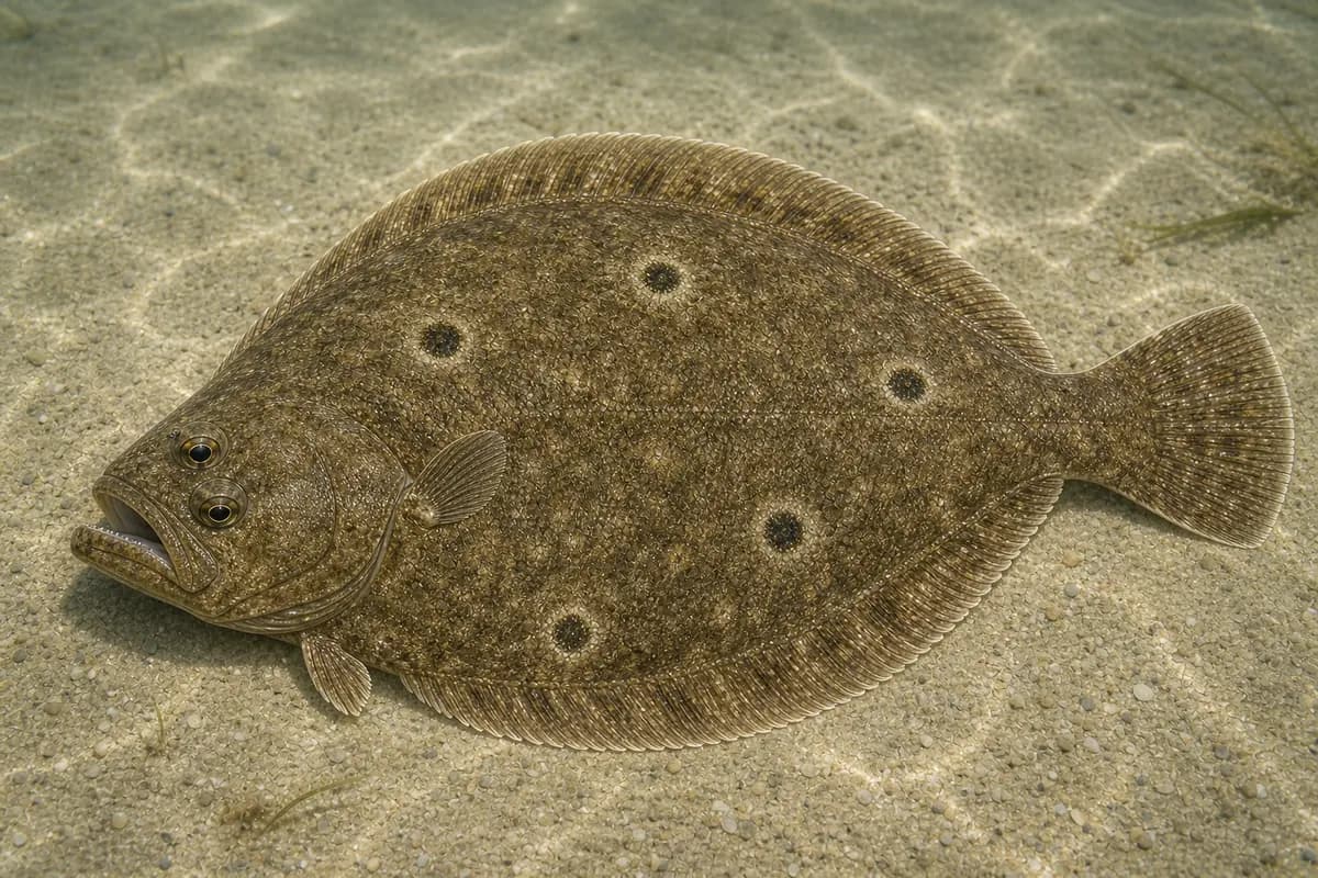
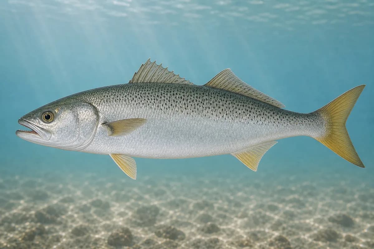
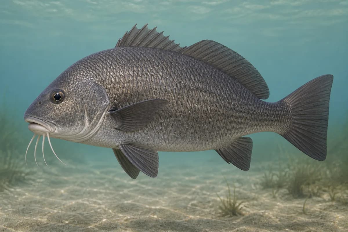
Species images are AI-generated illustrations for visual reference and may simplify natural variation. Fishery records are based on the cited agency and editorial sources. About fish illustrations
Summer flounder
Primary
Paralichthys dentatus
Typical seasonal window: MAY — JULY
VMRC lists seaside inlets of the Eastern Shore among summer flounder locations. Summer flounder use this inlet.
Weakfish
Secondary
Cynoscion regalis
Typical seasonal window: JUNE — SEPTEMBER
VMRC lists small weakfish in coastal ocean waters and inlets of the Eastern Shore seaside.
Black drum
Secondary
Pogonias cromis
Typical seasonal window: MAY — JUNE
VMRC names middleground bars of Eastern Shore seaside inlets among black drum locations.
Typical Seasonal Targets
Summer flounder — MAY — JULY
Weakfish — JUNE — SEPTEMBER
Black drum — MAY — JUNE
Seasonal presence is general guidance and does not indicate current fish activity.
Access, Safety and Regulations
Access
Public boat access is the Town of Wachapreague marina boat ramp. The town posts resident, property-owner, yearly-pass, and visitor daily ramp fees. A public ocean fishing pier or walk-up jetty is not confirmed. Confirm current ramp fees, harbor depth, and dredging notices at Town Hall before you go.
Primary hazards
Strong inlet current, unmarked shoals, and a working charter harbor are the primary hazards. There is no proven public shore fishery at this destination.
Fishery considerations
Current predictions and a local wave reading are not available here. Inlet current is the fishing context.
Wind against the inlet and shallow back bays can make boat fishing unsafe quickly.
Regulations
Size limits, seasons, and possession rules change. Verify the current official regulations before fishing.
The map marker represents the cataloged waterbody or monitoring location and may not indicate legal parking or public access. Confirm access through the official information before visiting.