Solomons Island / Patuxent is a Chesapeake estuary fishery where the lower Patuxent River meets the bay through channels, points, docks, and protected harbor water. Striped bass, spotted seatrout, red drum, and bluefish are the principal supported targets.
Active coastal or marine alerts
Small Craft Advisory
Severity: Minor
Small Craft Advisory issued October 20 at 4:54AM EDT until October 21 at 6:00AM EDT by NWS Baltimore MD/Washington DC
Begins Oct 20, 2026, 4:54 AM · Ends Oct 21, 2026, 6:00 AM
Inexperienced mariners, especially those operating smaller vessels, should avoid navigating in hazardous conditions.
Virginia · Mid-Atlantic / Virginia Eastern Shore · Inlet
Approximately 64.3 miles away
Predicted Tides
Predicted
Rising
Next high tide
Oct 20, 2026, 10:12 AM
In 2 hr 29 min
1.4 ft MLLW
Previous
Low · Oct 20, 2026, 4:20 AM · 0.7 ft MLLW
Following
Low · Oct 20, 2026, 4:23 PM · 0.5 ft MLLW
Tide station at destination
Solomons Island / Patuxent · NOAA 8577330
Predicted Tidal Current
Predicted
Tidal-current predictions are not available for this destination.
Tidal-current timing can differ from high and low tide timing.
Fishery Profile
Fishery Overview
Solomons Island / Patuxent tributary harbor fishery
A Patuxent River mouth and mid-Chesapeake tributary fishery at Solomons Island. The county fishing pier and boat ramp, plus boat water below the Thomas Johnson Bridge, concentrate striped bass with spotted seatrout, red drum, and bluefish in the lower-Patuxent mix.
Fishery type
Tributary harbor
Fishing modes
Shore
Inshore boat
Habitat and structure
Solomons public fishing pier on the Patuxent · Harbor docks, bulkheads, and the Thomas Johnson Bridge corridor · Patuxent channel edges below Route 4 exchanging with Chesapeake Bay
Static seasonal guidance · Last reviewed Aug 16, 2026
Not a live bite forecast.
Fishery Targets
MD DNR fishing reports name striped bass, speckled trout, red drum, and bluefish in the lower Patuxent / lower-Bay mix that includes Solomons. Listed species are not typical every month. Harvest seasons are not biological calendars. Seasonal notes, where present, describe typical presence.
This reflects typical biological/fishery timing, not a legal open season. Check current regulations before fishing.
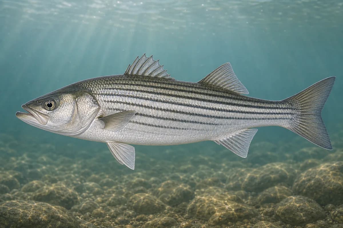
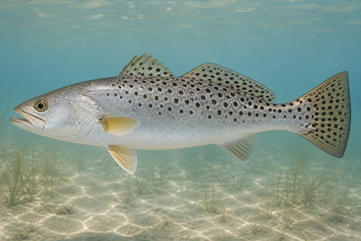
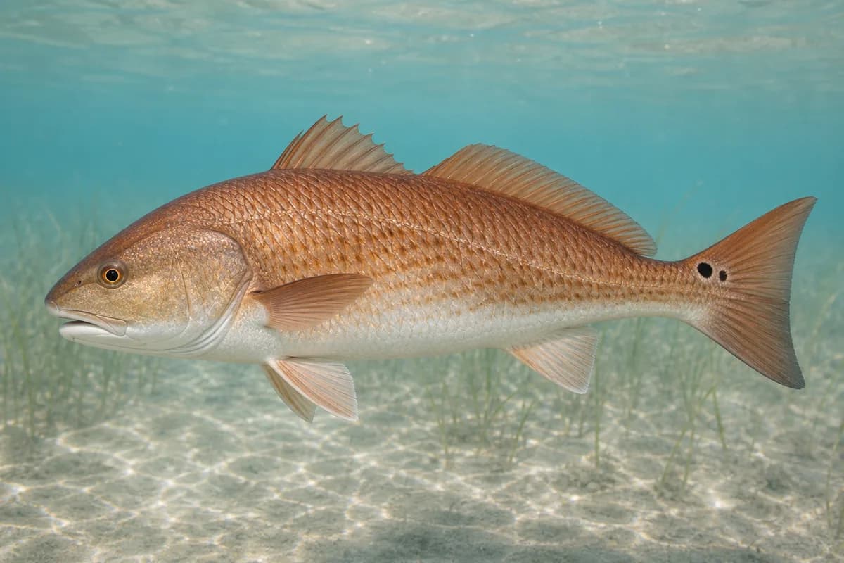
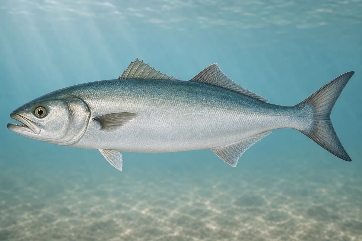
Species images are AI-generated illustrations for visual reference and may simplify natural variation. Fishery records are based on the cited agency and editorial sources. About fish illustrations
Striped bass
PrimaryRegulations vary annually
Morone saxatilis
Typical seasonal opportunity: SPRING AND FALL
MD DNR names striped bass in the Patuxent River below the Route 4 / Thomas Johnson Bridge, the Solomons reach. Bay harvest dates are regulation dates.
Spotted seatrout
Secondary
Cynoscion nebulosus
No seasonal pulse known
MD DNR reports speckled trout in the mix throughout the lower Bay including the lower Patuxent.
Red drum
Secondary
Sciaenops ocellatus
Also called Redfish
No seasonal pulse known
MD DNR reports slot-sized red drum in the lower-Bay mix with the lower Patuxent.
Bluefish
Secondary
Pomatomus saltatrix
No seasonal pulse known
MD DNR includes bluefish in the lower Patuxent / lower-Bay mix.
Typical Seasonal Targets
Striped bass — SPRING AND FALL
Seasonal presence is general guidance and does not indicate current fish activity.
Access, Safety and Regulations
Access
Public shore and boat access is the Solomons Boat Ramp and Fishing Pier at 14195 Solomons Island Road South, operated under contract with the Calvert County Board of Commissioners. Calvert County's dedicated facility page posts a boat ramp open 24 hours daily year-round, a fishing pier open 6 a.m.–8 p.m. Memorial Day through Labor Day and 8 a.m.–6 p.m. The day after Labor Day through the day before Memorial Day, and that a Chesapeake Bay & Coastal Sport fishing license is required for anglers 16 and older. Confirm current ramp fees, pier hours, and comfort-station season before you go.
Primary hazards
Harbor boat traffic, bridge-abutment current, and slick pier decks are the primary hazards.
Fishery considerations
Current predictions and a local wave reading are not available here.
Wind against the Patuxent mouth can chop the harbor.
Regulations
Size limits, seasons, and possession rules change. Verify the current official regulations before fishing.
The map marker represents the cataloged waterbody or monitoring location and may not indicate legal parking or public access. Confirm access through the official information before visiting.