Sandy Point / Chesapeake Bay Bridge is a central Chesapeake shore fishery built around open bay water, bridge influence, beaches, and nearby channel edges. Striped bass are the principal target, with white perch and other estuarine species adding accessible light-tackle opportunity.
Current Coastal Rating
Good · 76
Beta
Conditions are good, but confidence is reduced because some coastal inputs are partial or prediction-based.
Scores are model-specific and are not directly comparable across water types.
Should I Go?
Trip conditions only. Target-species activity and seasonal fishery patterns are not yet included.
Go
Trip conditions look suitable during the recommended window based on the available data.
Medium confidence — The recommendation is usable, but one or more inputs are regional, proxied, stale, or incomplete.
Evaluates trip conditions using weather, tides, currents, waves, daylight, and active alerts.
This coastal rating is in public beta.
Missing waves are not calm. Forecast is not an observation. Prediction is not an observation.
Service Status
Degraded
Coastal conditions are partial, stale, or predictions-only.
Recommended window
Tuesday · 10:00 AM–1:00 PM EDT
Window score
81
Max wind
17 mph
Max gust
27 mph
Daylight
100% of window
Tide state
rising
Why
Strong daylight coverage supports the evaluated window.
Watch for
Tide timing uses a nearby prediction proxy.
Coastal conditions can change quickly. Review official alerts and current conditions before heading out.
This nearby station is used for tide timing. Predicted height does not represent exact water depth or exposed-flat conditions at this destination.
Predicted Tidal Current
Predicted
Tidal-current predictions are not available for this destination.
Tidal-current timing can differ from high and low tide timing.
Fishery Profile
Fishery Overview
Sandy Point / Chesapeake Bay Bridge shore and structure fishery
A mid-Chesapeake Bay shore and bridge-structure fishery at Sandy Point State Park and the Chesapeake Bay Bridge. Park jetties, a fishing pier, and boat water at the bridge piers concentrate striped bass, with white perch, Atlantic croaker, and bluefish in the mix.
Fishery type
Bay shore bridge structure
Fishing modes
Shore
Inshore boat
Habitat and structure
Sandy Point State Park rock jetties and fishing/crabbing pier next to the boat ramps · Chesapeake Bay Bridge pier bases and rock piles · Sandy beach and designated shoreline fishing areas inside the park
Static seasonal guidance · Last reviewed Aug 16, 2026
Not a live bite forecast.
Fishery Targets
MD DNR fishing reports name striped bass at the Bay Bridge and Sandy Point, and white perch, croaker, and bluefish in the same reach. Listed species are not typical every month. Seasonal notes, where present, describe typical presence.
This reflects typical biological/fishery timing, not a legal open season. Check current regulations before fishing.
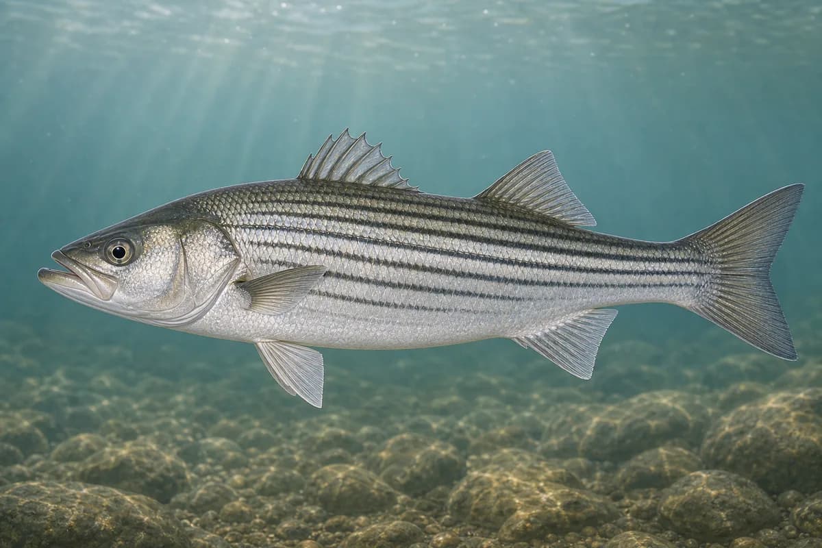
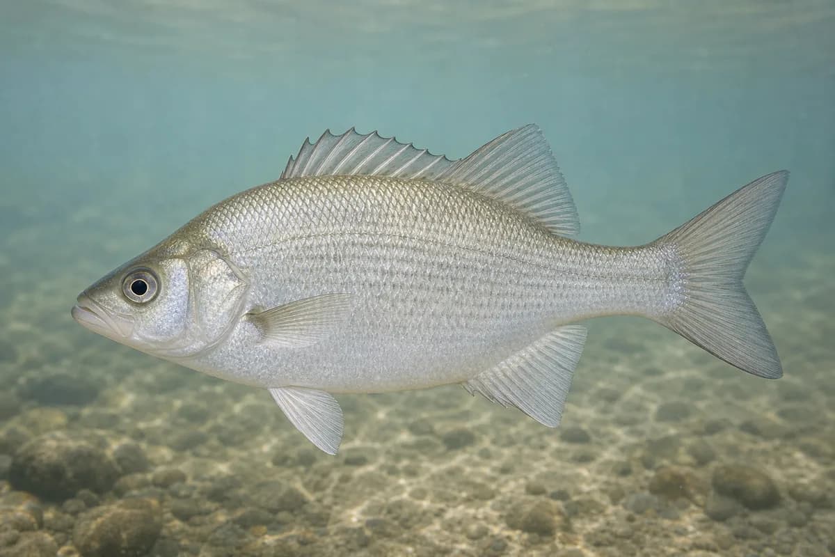
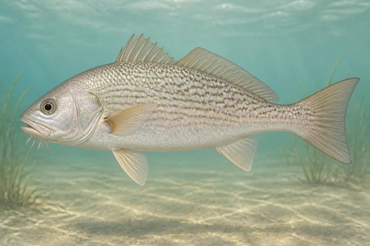
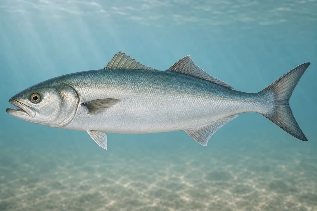
Species images are AI-generated illustrations for visual reference and may simplify natural variation. Fishery records are based on the cited agency and editorial sources. About fish illustrations
Striped bass
PrimaryRegulations vary annually
Morone saxatilis
Typical seasonal opportunity: SPRING AND FALL
MD DNR fishing reports name striped bass at the Bay Bridge piers and rock piles and around Sandy Point. Bay harvest dates including August targeting closures are regulation dates.
White perch
Secondary
Morone americana
No seasonal pulse known
MD DNR reports white perch on the west side of the Bay Bridge in shallower water.
Atlantic croaker
Secondary
Micropogonias undulatus
No seasonal pulse known
MD DNR reports croaker with white perch on the west side of the Bay Bridge.
Bluefish
Secondary
Pomatomus saltatrix
No seasonal pulse known
MD DNR includes bluefish in the mid-Bay mix near this reach.
Typical Seasonal Targets
Striped bass — SPRING AND FALL
Seasonal presence is general guidance and does not indicate current fish activity.
Access, Safety and Regulations
Access
Public shore and boat access is through Sandy Point State Park. Maryland DNR posts fishing from designated shoreline, rock jetties, and a fishing/crabbing pier next to the boat launch ramps, with 24-hour fishing and boating access when anglers are actively fishing. Fishing is prohibited in designated swimming areas. Confirm current park hours, Lights on the Bay seasonal changes, and ramp fees before you go. The Bay Bridge roadway is not a fishing access.
Primary hazards
Open-Bay chop, boat traffic at the ramps and bridge, and slick jetty rock are the primary hazards.
Fishery considerations
Tide predictions use nearby NOAA 8575512 Annapolis. Current predictions and a local wave reading are not available here.
Open-Bay wind can steepen chop at the park points and bridge.
Regulations
Size limits, seasons, and possession rules change. Verify the current official regulations before fishing.
The map marker represents the cataloged waterbody or monitoring location and may not indicate legal parking or public access. Confirm access through the official information before visiting.