Cape Henlopen / Lewes is a Delaware Bay-mouth fishery combining beaches, points, jetties, and bay-to-ocean tidal exchange on the Delaware side of the entrance. Striped bass, bluefish, and summer flounder are principal targets across the shore and nearshore grounds.
Active coastal or marine alerts
Small Craft Advisory
Severity: Minor
Small Craft Advisory issued October 20 at 2:57AM EDT until October 21 at 12:00PM EDT by NWS Mount Holly NJ
Begins Oct 20, 2026, 2:57 AM · Ends Oct 21, 2026, 12:00 PM
Inexperienced mariners, especially those operating smaller vessels, should avoid navigating in hazardous conditions.
Tidal-current predictions are not available for this destination.
Tidal-current timing can differ from high and low tide timing.
Fishery Profile
Fishery Overview
Cape Henlopen / Lewes Delaware Bay and surf fishery
A lower Delaware Bay and Atlantic-surf fishery at Cape Henlopen State Park and Lewes. The state-park fishing pier sits on Delaware Bay; designated surf-fishing beaches and jetties face the Atlantic and Bay.
Fishery type
Bay
Surf
Structure
Fishing modes
Shore
Inshore boat
Habitat and structure
Cape Henlopen State Park fishing pier on Delaware Bay · Park jetties and breakwater rock at the Bay mouth · Designated Atlantic and Bay surf-fishing beaches at Gordons Pond, Herring Point, Navy Crossing, and Point Crossing · Lewes / Delaware Bay boat water inside the cape
Static seasonal guidance · Last reviewed Aug 16, 2026
Not a live bite forecast.
Fishery Targets
DNREC lists striped bass, bluefish, summer flounder, tautog, and weakfish among Delaware Bay and coastal recreational species, and the Delaware Fishing Guide names the Cape Henlopen fishing pier on Delaware Bay. Listed species are not typical every month. Harvest seasons are not biological calendars. Seasonal notes, where present, describe typical presence.
This reflects typical biological/fishery timing, not a legal open season. Check current regulations before fishing.
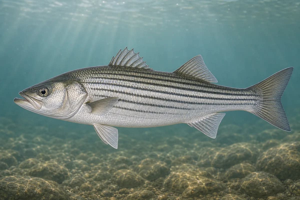
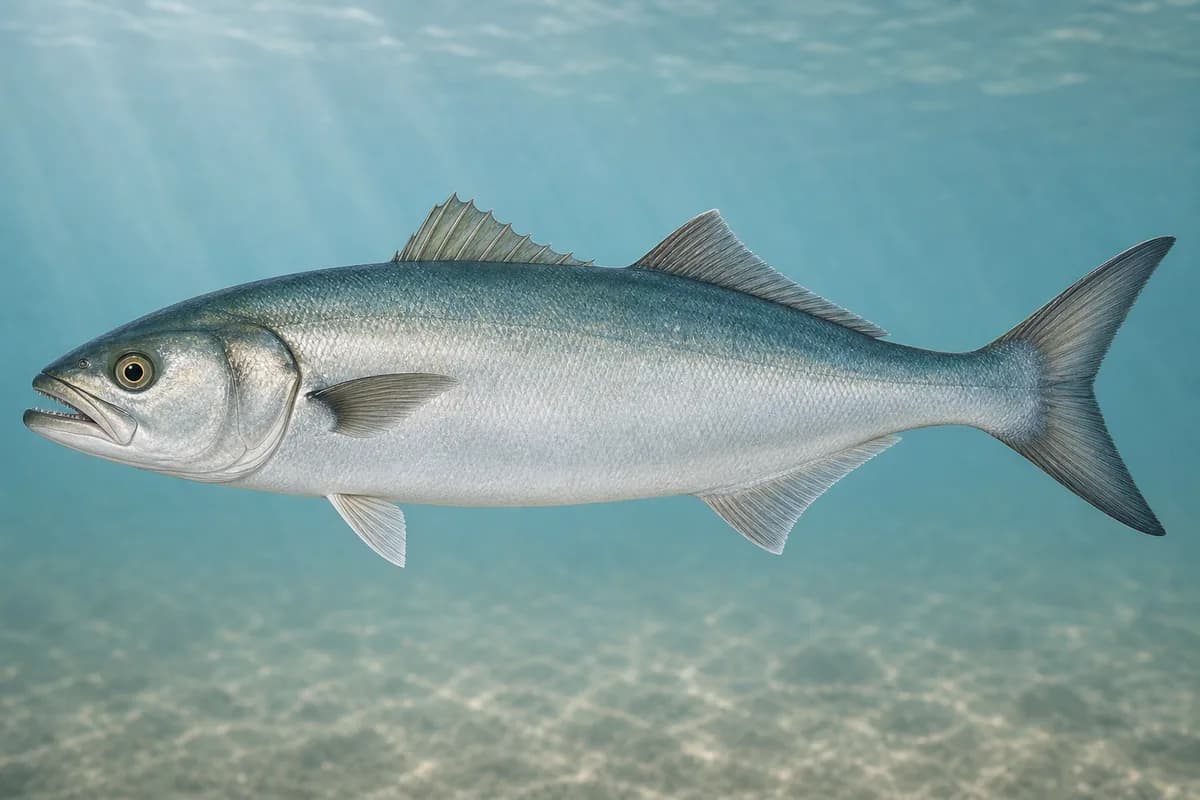
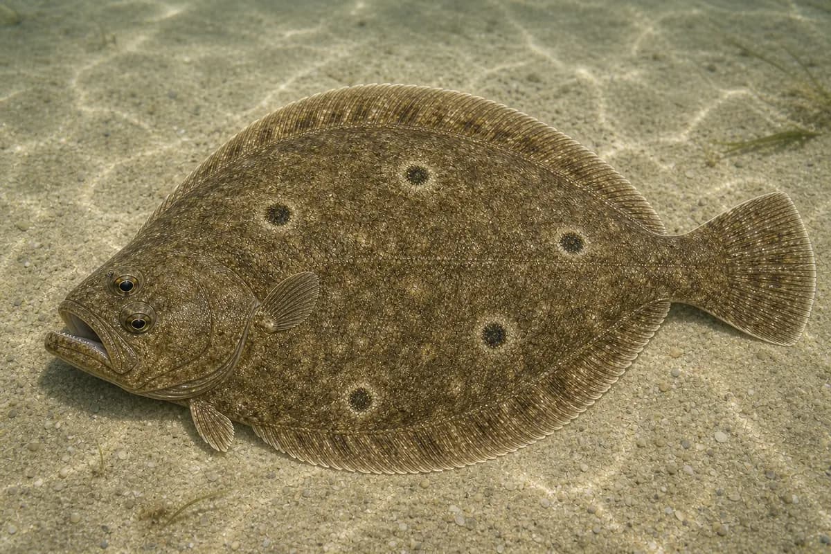
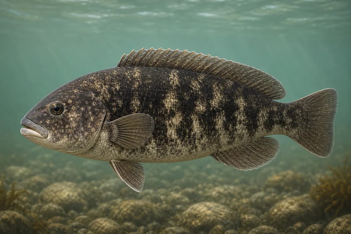
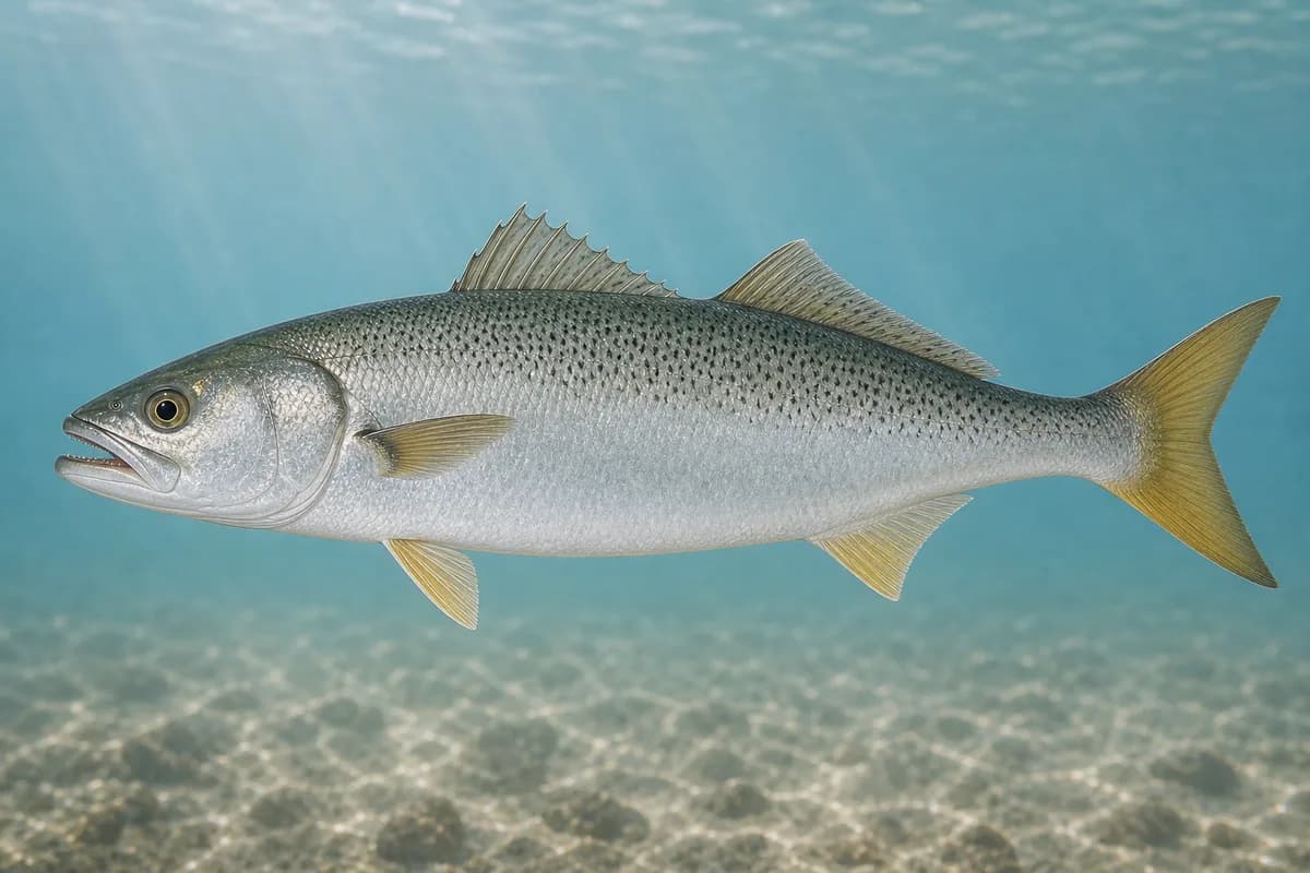
Species images are AI-generated illustrations for visual reference and may simplify natural variation. Fishery records are based on the cited agency and editorial sources. About fish illustrations
Striped bass
PrimaryRegulations vary annually
Morone saxatilis
Typical seasonal opportunity: SPRING AND FALL
DNREC recreational tables cover striped bass from the C&D Canal to the mouth of Delaware Bay, which is this destination's Bay. Spawning-closure dates follow the current regulations.
Bluefish
Secondary
Pomatomus saltatrix
No seasonal pulse known
DNREC lists bluefish among Delaware tidal/coastal recreational species.
Summer flounder
Secondary
Paralichthys dentatus
No seasonal pulse known
DNREC lists summer flounder for Delaware Bay and coastal Delaware. Bay-side structure and channel edges are where anglers find them.
Tautog
SecondaryRegulations vary annually
Tautoga onitis
Typical seasonal opportunity: SPRING AND FALL
DNREC lists tautog among Delaware recreational species. Cape Henlopen jetties and the Bay fishing pier are structure.
Weakfish
Seasonal
Cynoscion regalis
No seasonal pulse known
DNREC manages weakfish in Delaware Bay and ocean waters. Weakfish use the lower Delaware Bay and the ocean beside the Bay mouth.
Typical Seasonal Targets
Striped bass — SPRING AND FALL
Tautog — SPRING AND FALL
Seasonal presence is general guidance and does not indicate current fish activity.
Access, Safety and Regulations
Access
Public shore fishing is reached through Cape Henlopen State Park (15099 Cape Henlopen Drive, Lewes). Delaware State Parks posts designated surf-fishing beaches at Gordons Pond, Herring Point, Navy Crossing, and Point Crossing; a surf-fishing vehicle permit is required to drive on those beaches. The Delaware Fishing Guide lists the Cape Henlopen fishing pier on Delaware Bay. Boat anglers use Lewes / Delaware Bay public access listed in that guide; confirm current ramp, park hours, and bird-nesting closures before you go.
Primary hazards
Slick jetty rock, breaking surf, and strong current at the Bay mouth are the primary hazards. Bird-nesting closures can close beach segments.
Fishery considerations
Tide at Lewes (NOAA 8557380) is the mapped station. Delaware Bay current and ocean waves are not the conditions at this beach.
Wind against the Bay mouth can steepen chop on the pier and jetties.
Regulations
Size limits, seasons, and possession rules change. Verify the current official regulations before fishing.
The map marker represents the cataloged waterbody or monitoring location and may not indicate legal parking or public access. Confirm access through the official information before visiting.