Crescent City Harbor is a Northern California port fishery shaped by breakwaters, rocky shoreline, harbor water, and immediate access to exposed Pacific coast. Rockfish and lingcod are principal structure-oriented targets, while surfperch add a shore-focused component around beaches and harbor edges.
Active coastal or marine alerts
Small Craft Advisory
Severity: Minor
Small Craft Advisory issued October 20 at 2:10AM PDT until October 20 at 8:00PM PDT by NWS Eureka CA
Begins Oct 20, 2026, 2:10 AM · Ends Oct 20, 2026, 8:00 PM
Inexperienced mariners, especially those operating smaller vessels, should avoid navigating in hazardous conditions.
Tidal-current predictions are not available for this destination.
Tidal-current timing can differ from high and low tide timing.
Fishery Profile
Fishery Overview
Crescent City Harbor salmon and groundfish shore fishery
A Del Norte Harbor / jetty / public-pier fishery. Anglers target Chinook salmon when CDFW/NOAA opens the Klamath Management Zone, plus rockfish, lingcod, and redtail surfperch. Ocean coho retention is prohibited.
Fishery type
North coast harbor salmon groundfish
Fishing modes
Shore
Inshore boat
Habitat and structure
Crescent City Harbor jetties and tetrapod rock · B Street / public pier · Harbor entrance and adjacent North Coast surf
Static seasonal guidance · Last reviewed Aug 15, 2026
Not a live bite forecast.
Fishery Targets
Chinook are the ocean-salmon target only when KMZ is open. Rockfish, lingcod, and redtail surfperch are the year-round harbor/jetty fishery. Ocean coho retention is prohibited.
This reflects typical biological/fishery timing, not a legal open season. Check current regulations before fishing.
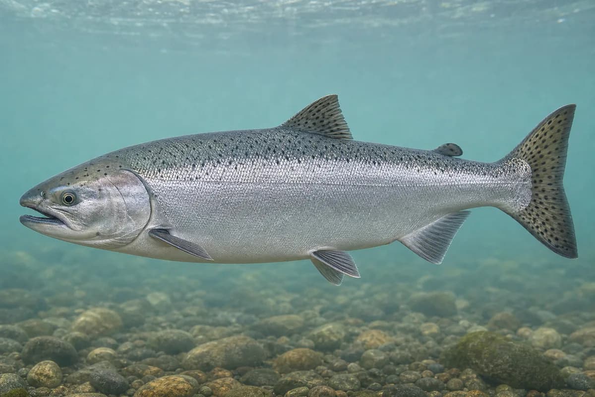
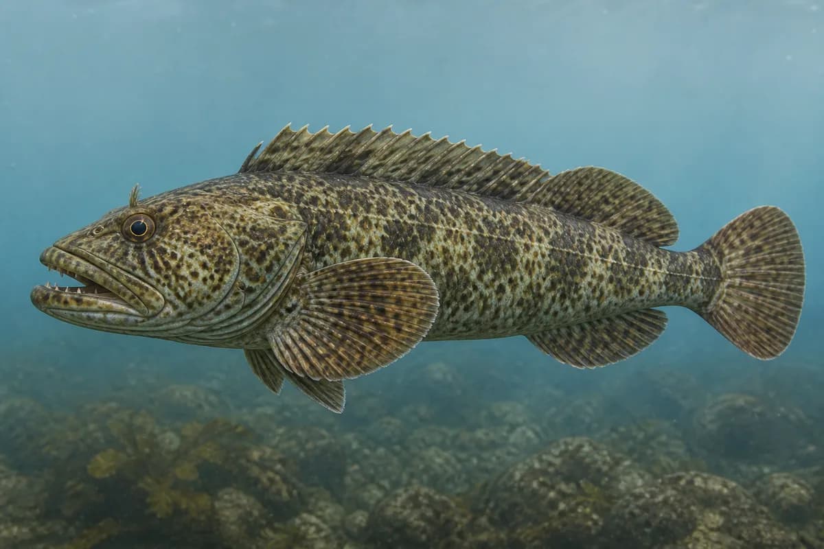
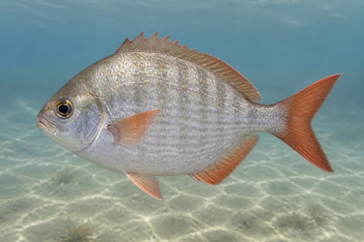
Species images are AI-generated illustrations for visual reference and may simplify natural variation. Fishery records are based on the cited agency and editorial sources. About fish illustrations
Chinook salmon
PrimaryRegulations vary annually
Oncorhynchus tshawytscha
Typical seasonal opportunity: SUMMER — EARLY FALL
Typical biological/fishery timing. Check current regulations before fishing.
Lingcod
Primary
Ophiodon elongatus
No seasonal pulse known
Redtail surfperch
Secondary
Amphistichus rhodoterus
No seasonal pulse known
Typical Seasonal Targets
Chinook salmon — SUMMER — EARLY FALL
Seasonal presence is general guidance and does not indicate current fish activity.
Access, Safety and Regulations
Access
Crescent City Harbor District public pier and launch. A license is not required on the qualifying public pier; size/bag/seasons still apply.
Primary hazards
Watch surge, boat traffic, and slippery rock. Harbor mouths are not swimming beaches.
Fishery considerations
Wind and swell can make harbor jetties unsafe even when tides look usable.
Regulations
Size limits, seasons, and possession rules change. Verify the current official regulations before fishing.
The map marker represents the cataloged waterbody or monitoring location and may not indicate legal parking or public access. Confirm access through the official information before visiting.