Port Orford Harbor is a southern Oregon coastal fishery built around a small exposed port, rocky shoreline, reefs, and open Pacific water. Rockfish and lingcod are principal structure-oriented targets, with salmon and surfperch adding migratory and shore-focused variety.
Active coastal or marine alerts
Small Craft Advisory
Severity: Minor
Small Craft Advisory issued October 20 at 12:13AM PDT until October 20 at 11:00AM PDT by NWS Medford OR
Begins Oct 20, 2026, 12:13 AM · Ends Oct 20, 2026, 11:00 AM
Inexperienced mariners and those operating smaller vessels should remain in port and avoid the area of hazardous conditions.
Tidal-current predictions are not available for this destination.
Tidal-current timing can differ from high and low tide timing.
Fishery Profile
Fishery Overview
Port Orford harbor and jetty fishery
A Curry County rocky-headland harbor and jetty fishery. Anglers target lingcod and redtail surfperch, plus Chinook when current ODFW ocean-salmon tables are open. This is ODFW ocean-harvest tag Port Orford (15). Dock crabbing is named by ODFW; Dungeness.
Fishery type
Pnw rocky headland harbor
Fishing modes
Shore
Inshore boat
Habitat and structure
Port of Port Orford docks · Port Orford jetty · Rocky headland / open-coast harbor
Static seasonal guidance · Last reviewed Aug 21, 2026
Not a live bite forecast.
Fishery Targets
Harbor and jetty groundfish and perch follow current ODFW Marine Zone rules. Ocean salmon and Pacific halibut are season-managed. Year-round dock crabbing is named by ODFW and.
This reflects typical biological/fishery timing, not a legal open season. Check current regulations before fishing.
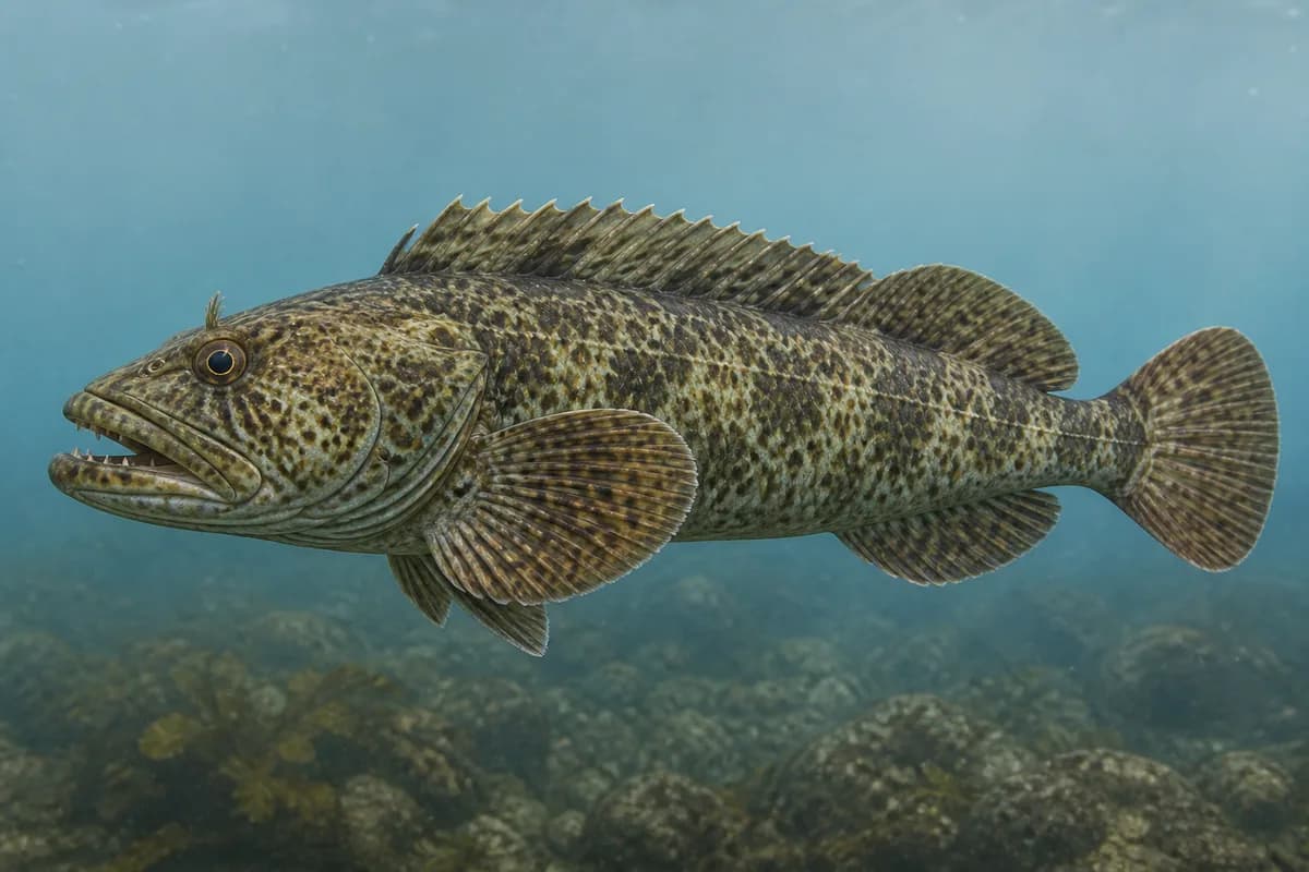
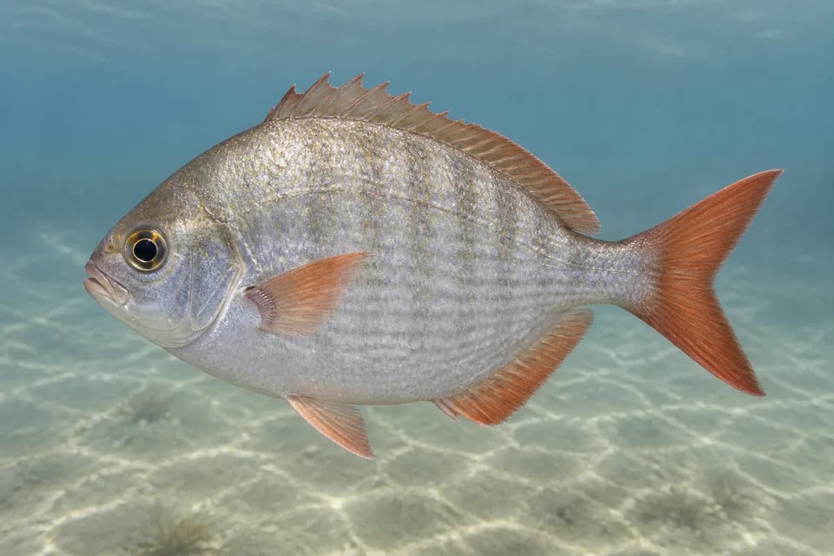
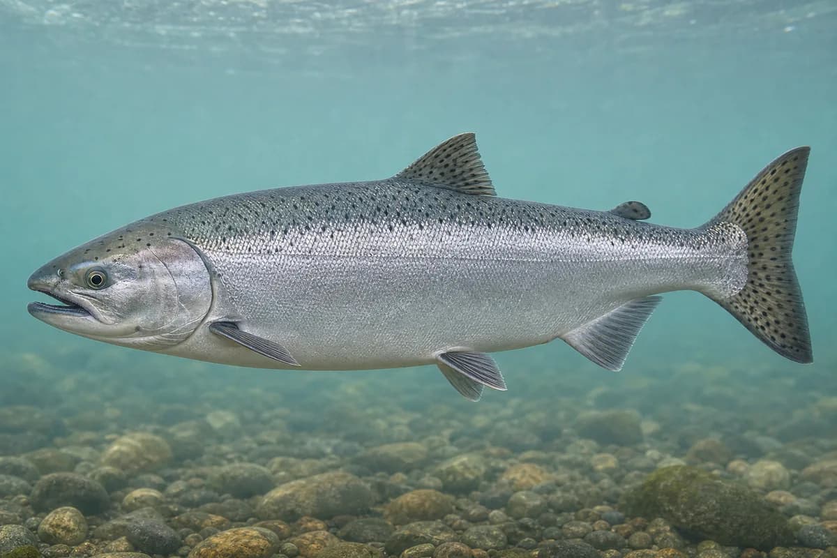
Species images are AI-generated illustrations for visual reference and may simplify natural variation. Fishery records are based on the cited agency and editorial sources. About fish illustrations
Lingcod
Primary
Ophiodon elongatus
Typical seasonal window begins in December
Typical seasonal window: DECEMBER — MARCH
May also be present outside this peak window.
Redtail surfperch
Secondary
Amphistichus rhodoterus
Typical seasonal opportunity: SPRING — EARLY SUMMER
May also be present outside this peak window.
Chinook salmon
SeasonalRegulations vary annually
Oncorhynchus tshawytscha
Typical seasonal opportunity: SUMMER — EARLY FALL
Port Orford is an ODFW ocean-harvest landing. Destination-specific weekly landing rows are not always published for this smaller port. Charleston and Brookings landings are separate ports.
Typical Seasonal Targets
Lingcod — DECEMBER — MARCH
Redtail surfperch — SPRING — EARLY SUMMER
Chinook salmon — SUMMER — EARLY FALL
Seasonal presence is general guidance and does not indicate current fish activity.
How to Fish Port Orford Harbor
No profile-based seasonal technique guidance is listed for October.
Preparing for upcoming seasonal targets
Harbor-jetty rock and perch
Shore and jetty rockfish and lingcod are Marine Zone jetty methods. Humbug Mountain is a salmon-area landmark.
Best for
Lingcod
Setup
Port Orford harbor setup
Nearshore boat from Port Orford
ODFW: ocean (boat) crabbing areas are easily accessible from Port Orford. Boat groundfish and ocean salmon only when current tables are open.
Best for
Lingcod
Setup
Port Orford harbor setup
Common Tackle Setups
Port Orford harbor setup
Jetty and boat spinning tackle for lingcod, perch, and Chinook when open. Port Orford is a rocky headland and harbor.
Rod
8–10 ft medium spinning rod for jetty, pier, and harbor work.
Reel
Spinning reel with a smooth drag.
Main line
20–40 lb braid.
Leader
Fluorocarbon or mono leader suited to rock, jetty, and surge.
Terminal tackle
Swivels.; Jig heads.; Hardware suited to current Marine Zone rules.
Presentation
ODFW: dock crabbing year-round from the Port Orford docks.; Confirm current Marine Zone ocean salmon and groundfish tables.
Used for
Harbor-jetty rock and perch
Nearshore boat from Port Orford
Typical October Lures and Flies
Coming into the seasonal mix
Soft-plastic paddle tail
Lure
Lingcod
Shallow, Midwater, Variable · Steady, twitch, jig
Swim steadily through seams or hop lightly near bottom transitions
Soft-plastic jig head
Lure
Lingcod
Midwater, Bottom, Variable · Jig, slow, drift
Keep intermittent bottom contact around structure and soft edges
Diamond-style jig
Lure
Lingcod
Midwater to variable · Jig, fast, steady
Cast and retrieve with a steady or pulsed cadence through bait schools
General seasonal guidance, not a live recommendation, product endorsement, or guarantee of success.
Access, Safety and Regulations
Access
ODFW shore-fishing access list names Port of Port Orford and Jetty as a south-coast fishing access area.
Primary hazards
Watch surge, slippery rock, and vessel traffic in the harbor entrance.
Fishery considerations
This is an exposed rocky-headland harbor. Wind and swell can close safe jetty access even when tides look usable.
Regulations
Size limits, seasons, and possession rules change. Verify the current official regulations before fishing.
The map marker represents the cataloged waterbody or monitoring location and may not indicate legal parking or public access. Confirm access through the official information before visiting.