Offshore
Grand Isle 9 Offshore Reef
Offshore · Louisiana · LDWF Grand Isle 9 offshore reef
Location Snapshot
Grand Isle 9 Offshore Reef is a named Louisiana Gulf reef fishery off the Grand Isle coast, distinct from the area’s passes and broader platform grounds. Red snapper, greater amberjack, and king mackerel are the principal supported targets, combining reef-oriented bottom fishing with pelagic opportunity.
Information Only
StrikeTracks does not currently provide an Offshore fishing-condition rating. Marine Conditions are observations and forecasts for trip planning. They are not an Excellent, Good, Fair, or Poor fishing score.
Marine Conditions
Planning context — not a fishing rating.
Regional Marine Forecast
Rest Of Tonight
East winds 15 to 20 knots with gusts up to 25 knots. Seas 4 to 6 feet, occasionally to 8 feet. Wave Detail: Southeast 6 feet at 8 seconds.
Marine Alerts
- Small Craft Advisory · Minor — Small Craft Advisory issued October 20 at 5:21AM CDT until October 20 at 10:00AM CDT by NWS New Orleans LA
Nearby fishing destinations
Louisiana · Louisiana / Grand Isle · Shore
Approximately 6.3 miles away
Louisiana · Louisiana / Venice South Pass · Inlet
Approximately 32.5 miles away
Louisiana · Mississippi Canyon / Venice offshore bluewater · Offshore
Approximately 51.3 miles away
Fishery Profile
Fishery Overview
Grand Isle 9 Offshore Reef offshore fishery
Grand Isle 9 is a named Louisiana offshore reef, a reefed former sulfur-mine complex rather than the Grand Isle barrier island or an active production platform. Red snapper, greater amberjack, and king mackerel hold on that structure. It is a different fishery from Venice and the Mississippi Canyon. Do not board platforms. Coast Guard safety zones around active structures still apply. The reef is not a no-take area.
- Fishery type
- Artificial reef platform reef
- Habitat and structure
- Named LDWF reef · Structure
Static seasonal guidance · Last reviewed Sep 2, 2026
Not a live bite forecast.
Fishery Targets
Seasons for Red snapper and amberjack change with the annual rules. Kings follow a typical season. Gray snapper follow a typical season.
This reflects typical biological/fishery timing, not a legal open season. Check current regulations before fishing.
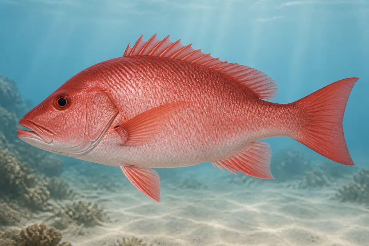
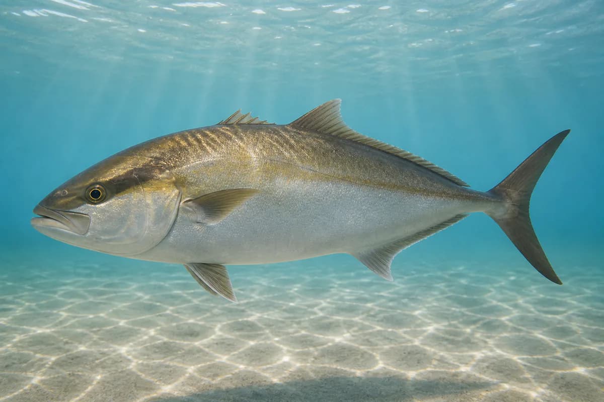
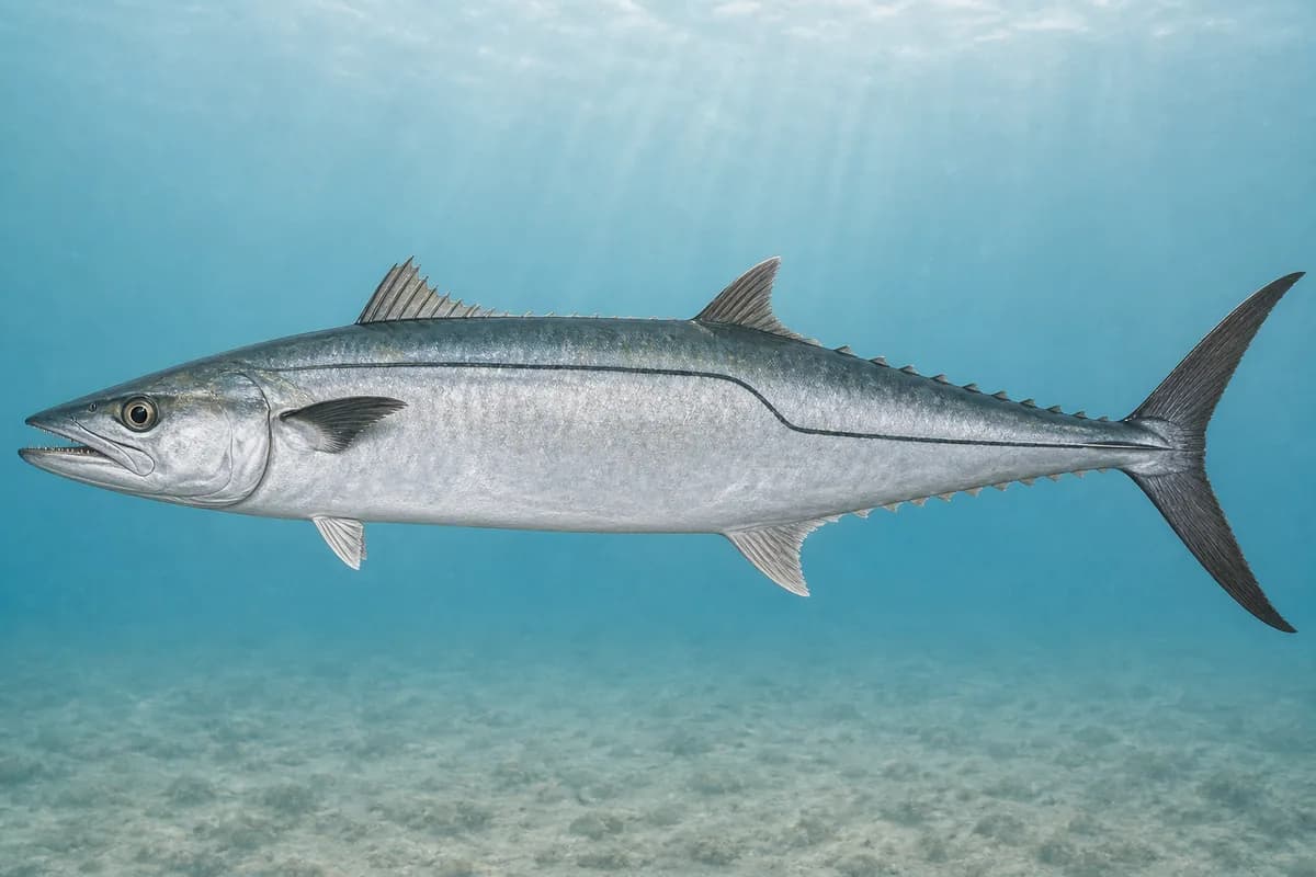
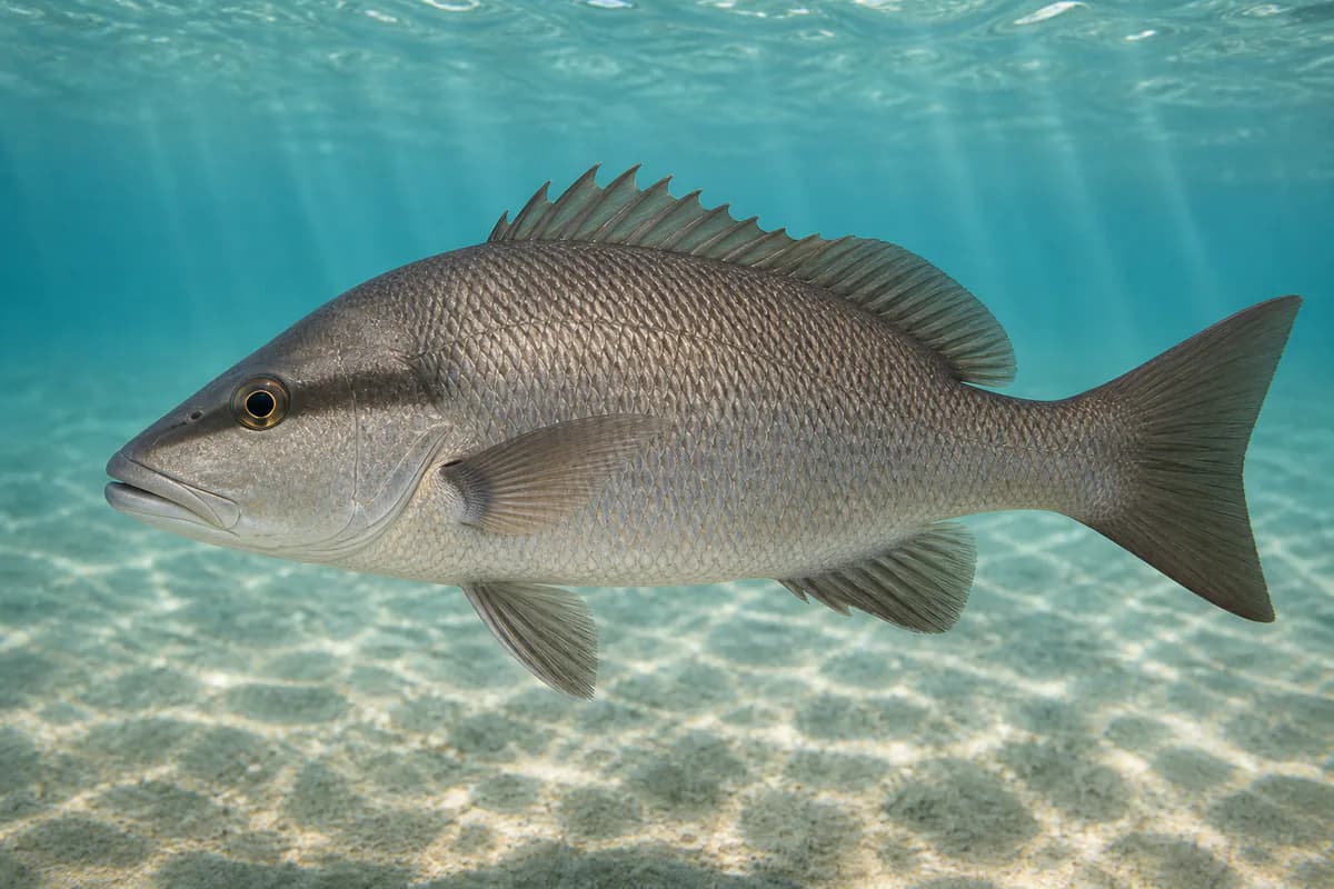
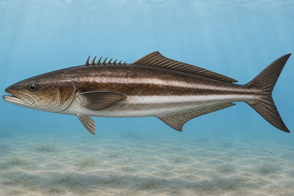
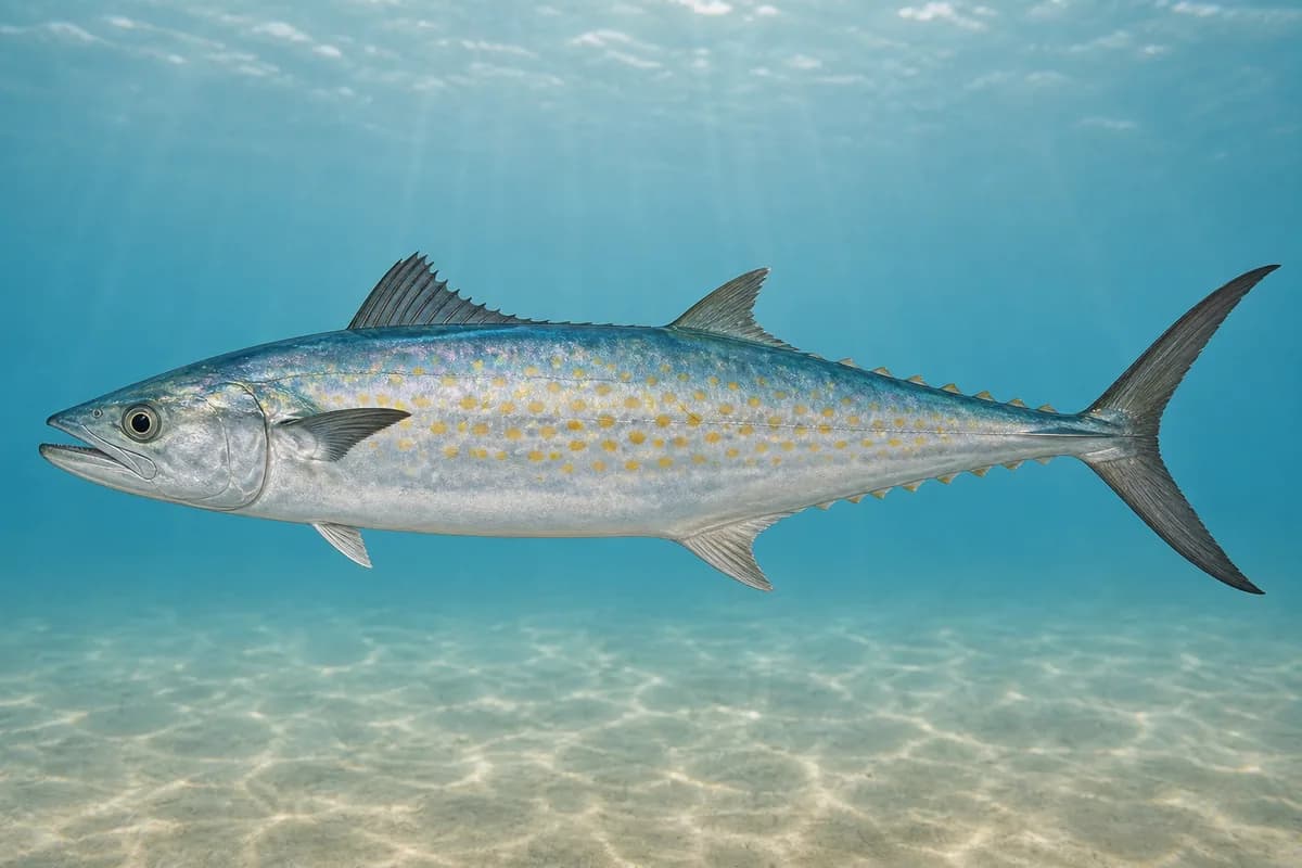
Species images are AI-generated illustrations for visual reference and may simplify natural variation. Fishery records are based on the cited agency and editorial sources. About fish illustrations
Red snapper
PrimaryRegulations vary annuallyLutjanus campechanus
Typical seasonal opportunity: SUMMER
Greater amberjack
PrimaryRegulations vary annuallySeriola dumerili
Typical seasonal opportunity: SUMMER
Scomberomorus cavalla
Typical seasonal opportunity: SPRING — FALL
Lutjanus griseus
Also called Mangrove snapper
Typical seasonal opportunity: SUMMER
Rachycentron canadum
No seasonal pulse known
Spanish mackerel
SecondaryScomberomorus maculatus
No seasonal pulse known
Typical Seasonal Targets
- Red snapper — SUMMER
- Greater amberjack — SUMMER
- King mackerel — SPRING — FALL
- Gray snapper — SUMMER
Seasonal presence is general guidance and does not indicate current fish activity.
Access, Safety and Regulations
Access
Offshore boat from Grand Isle / Fourchon. Not the barrier-island shore fishery.
Primary hazards
Stay outside platform safety zones and watch the weather on the run.
Fishery considerations
- Grand Isle and Caminada Pass tides are not this reef's local tide.
- Regional NWS.
Regulations
Size limits, seasons, and possession rules change. Verify the current official regulations before fishing.
Fishery Sources
Editorial and agency sources supporting this fishery profile. Live and predicted conditions use the separate Data Sources section.
Location and Access
This marker is the mapped fishing area. It is not a boat ramp, a parking area, or a place to drive to.