Grand Isle is a Louisiana barrier-island fishery combining beach water, passes, marsh edges, jetties, and the productive estuary-to-Gulf transition. Red drum, spotted seatrout, sheepshead, southern flounder, spanish mackerel, cobia, and atlantic tarpon are the principal supported targets.
Current Coastal Rating
Fair · 63
Beta
Conditions are fair, but confidence is reduced because some coastal inputs are partial or prediction-based.
Scores are model-specific and are not directly comparable across water types.
Should I Go?
Trip conditions only. Target-species activity and seasonal fishery patterns are not yet included.
Consider
Trip conditions may be workable, but important cautions or data limitations remain.
High confidence in the evaluated inputs — observational coverage is partial. — Required data sources were available and the key inputs were current.
Evaluates trip conditions using weather, tides, currents, waves, daylight, and active alerts.
This coastal rating is in public beta.
Missing waves are not calm. Forecast is not an observation. Prediction is not an observation.
Because this rating is in public beta, recommendations are capped at Consider when evidence is limited.
Service Status
Degraded
Coastal conditions are partial, stale, or predictions-only.
Recommended window
Tuesday · 9:00 AM–12:00 PM CDT
Window score
81
Max wind
19 mph
Max gust
20 mph
Daylight
100% of window
Tide state
falling
Why
Strong daylight coverage supports the evaluated window.
Current Readings
Updated Oct 20, 2026, 6:38 AM
NOAA Station
NOAA Station selected
Source
NOAA CO-OPS
Grand Isle station
0.0 mi from destination
Water level
1.5 ft MLLW
Updated 8 min ago
Past 7 Days
NOAA Station
NOAA Station selected
Water level
Window Oct 13, 2026, 6:38 AM – Oct 20, 2026, 6:38 AM (rolling 168 hours)
Water level over the past 7 days. 1679 observations · from Oct 13, 2026, 6:42 AM · to Oct 20, 2026, 6:30 AM Range 0.2 ft MLLW to 2.0 ft MLLW.
Readings increased over the available period.
1679 observations · from Oct 13, 2026, 6:42 AM · to Oct 20, 2026, 6:30 AM
Tidal-current predictions are not available for this destination.
Tidal-current timing can differ from high and low tide timing.
Fishery Profile
Fishery Overview
Grand Isle fishery
A Louisiana barrier-island shore and pass fishery at Grand Isle. LDWF treats this coast as a red drum, spotted seatrout, sheepshead, southern flounder, Spanish mackerel, cobia, and tarpon destination. Cobia and tarpon remain seasonal targets.
Fishery type
Barrier island pass
Fishing modes
Shore
Inshore boat
Habitat and structure
Grand Isle beach, jetties, and pass exchange · Caminada Pass and Barataria-side current seams · Nearshore Gulf along the island
Static seasonal guidance · Last reviewed Aug 30, 2026
Not a live bite forecast.
Fishery Targets
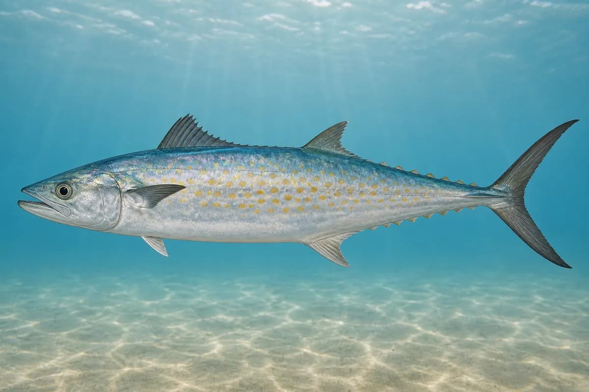
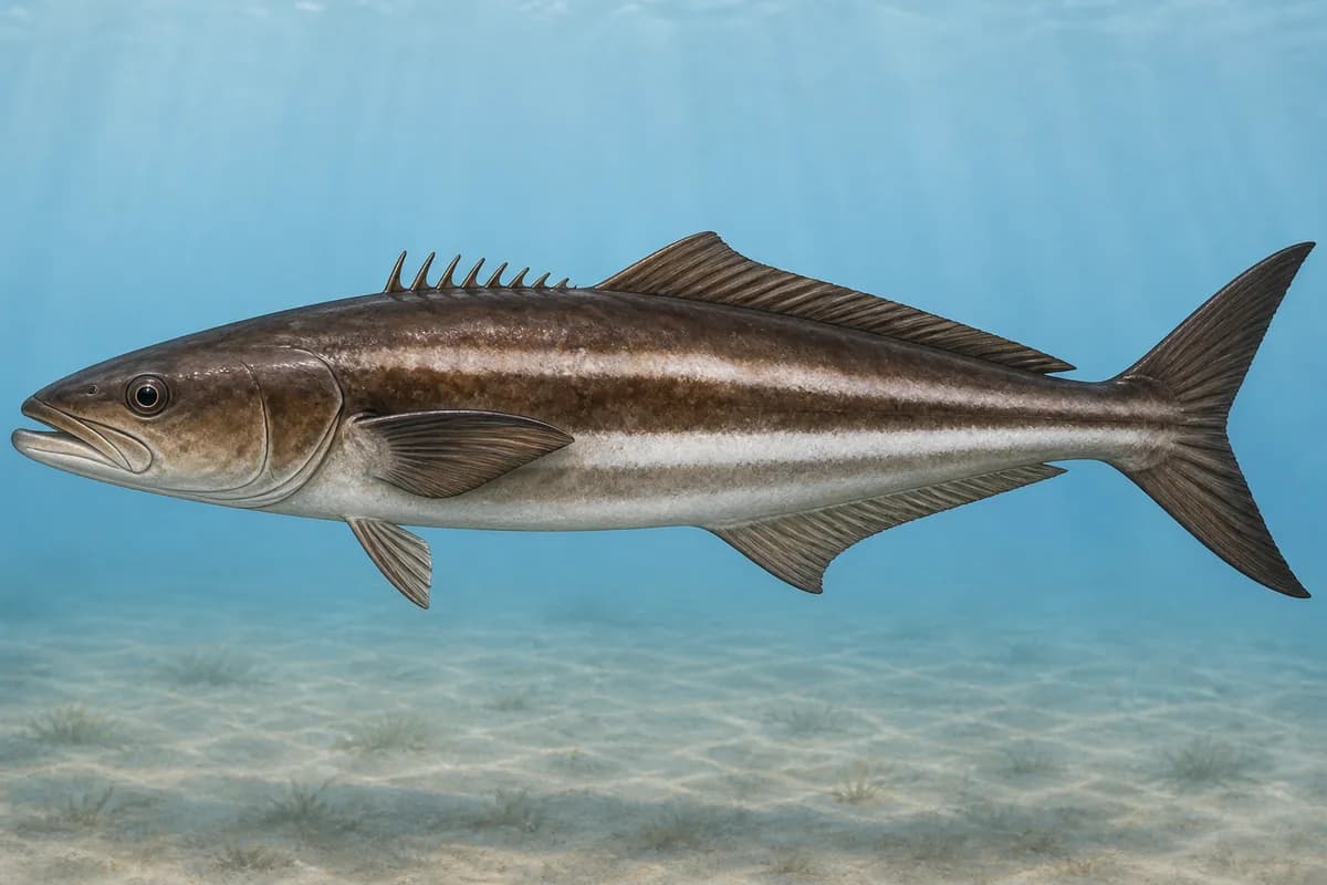
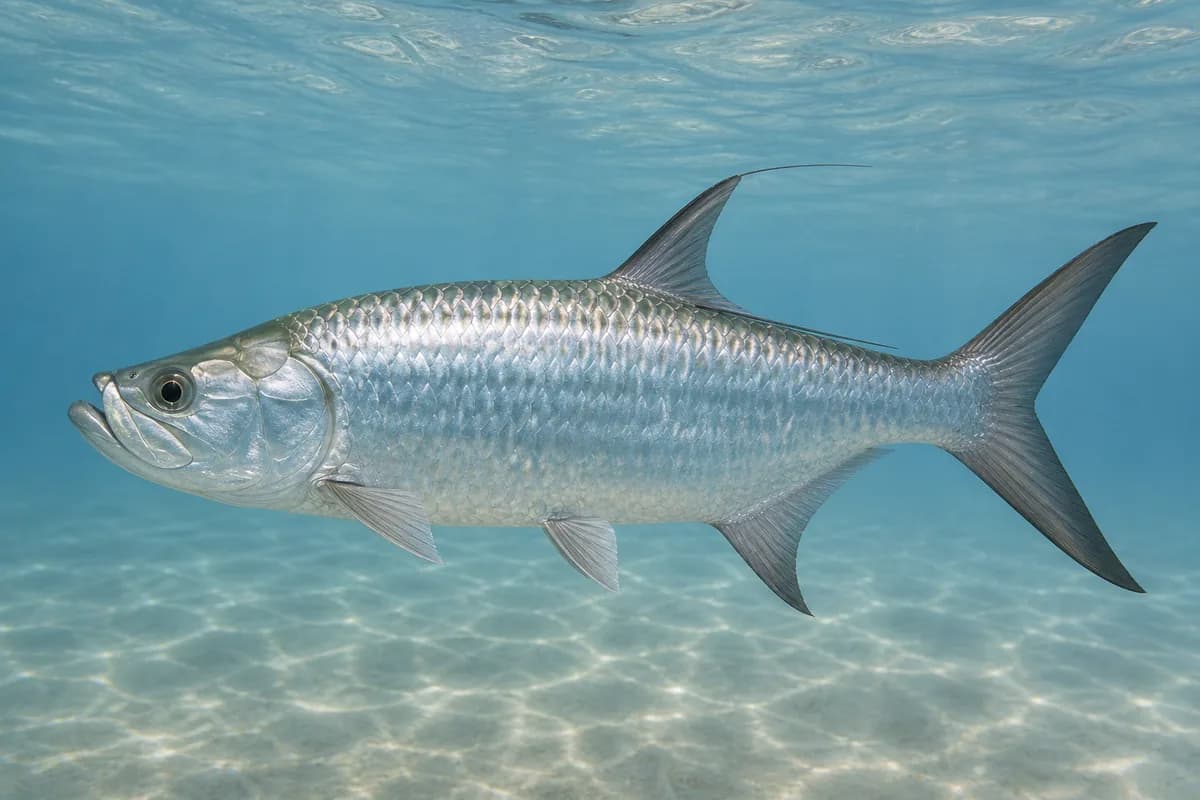
Red drum, spotted seatrout, sheepshead, and southern flounder are Grand Isle targets. Spanish mackerel have an approximate spring-through-fall season. Cobia and tarpon may be seasonal targets.
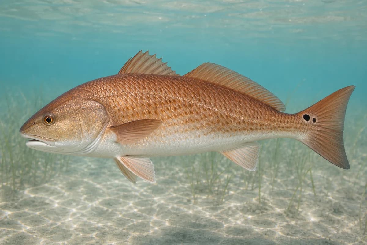
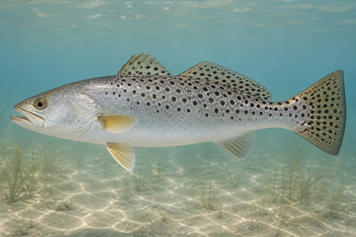
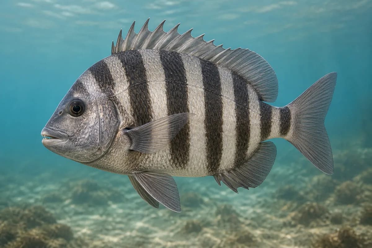
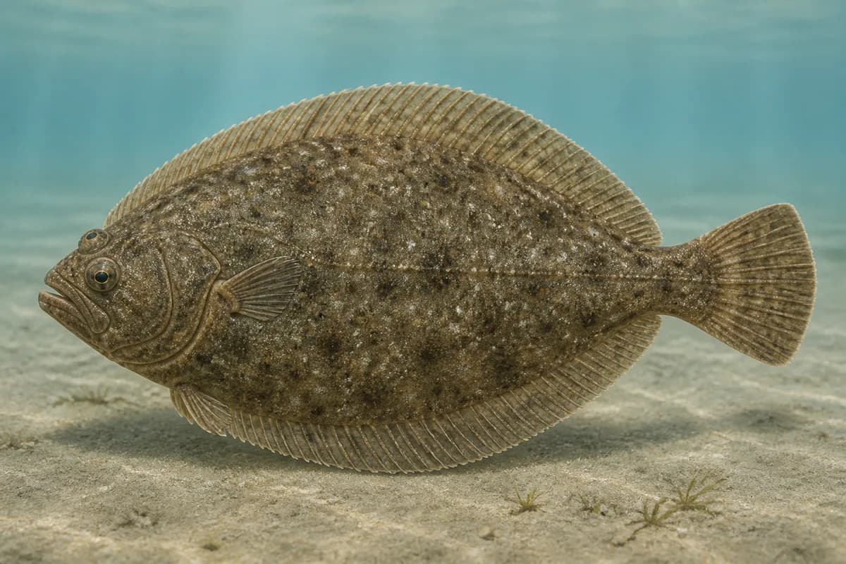
Species images are AI-generated illustrations for visual reference and may simplify natural variation. Fishery records are based on the cited agency and editorial sources. About fish illustrations
Red drum
Primary
Sciaenops ocellatus
Also called Redfish
No seasonal pulse known
These fish are not typical every month.
Spotted seatrout
Primary
Cynoscion nebulosus
No seasonal pulse known
Sheepshead
Secondary
Archosargus probatocephalus
No seasonal pulse known
Structure and jetty fishing at Grand Isle.
Southern flounder
Secondary
Paralichthys lethostigma
No seasonal pulse known
Spanish mackerel
Seasonal
Scomberomorus maculatus
Typical seasonal opportunity: SPRING — FALL
Approximate spring through fall. This timing is typical.
Cobia
Seasonal
Rachycentron canadum
No seasonal pulse known
Cobia is a seasonal nearshore target at Grand Isle.
Tarpon
Seasonal
Megalops atlanticus
No seasonal pulse known
Tarpon is a seasonal target at Grand Isle.
Typical Seasonal Targets
Spanish mackerel — SPRING — FALL
Seasonal presence is general guidance and does not indicate current fish activity.
Access, Safety and Regulations
Access
Public beach, jetty, and nearby pass access at Grand Isle. Confirm current LDWF, parish, and park postings. This covers Grand Isle.
Primary hazards
Pass current, heat, and thunderstorms are the primary hazards.
Fishery considerations
Tide and live water level are NOAA 8761724 Grand Isle NWLON.
Island and pass wind can steepen the surface against tide. A local wave reading is not available here.
Regulations
Size limits, seasons, and possession rules change. Verify the current official regulations before fishing.
The map marker represents the cataloged waterbody or monitoring location and may not indicate legal parking or public access. Confirm access through the official information before visiting.