Offshore
Farallon Islands Fishable Waters
Offshore · California · Farallon Islands fishable GFNMS water west of Southeast Farallon SMR/SMCA
Location Snapshot
Farallon Islands Fishable Waters represents the offshore island grounds west of San Francisco, a distinct fishery from Cordell Bank and the mainland coastal shoreline. Chinook salmon, lingcod, and black rockfish are the principal supported targets, combining open-ocean salmon fishing with structure-oriented bottom species around the Farallon grounds.
Information Only
StrikeTracks does not currently provide an Offshore fishing-condition rating. Marine Conditions are observations and forecasts for trip planning. They are not an Excellent, Good, Fair, or Poor fishing score.
Marine Conditions
Planning context — not a fishing rating.
Offshore Waters Forecast
Today
NW wind 10 to 15 kt. Seas 7 to 8 ft. Wave Detail: NW 7 ft at 12 seconds and SW 5 ft at 15 seconds.
Wave Height
4.9 ft
Nearby / representative
San Francisco, CA (46026) · NDBC 46026
Wave Direction
WNW
Nearby / representative
San Francisco, CA (46026) · NDBC 46026
Nearby fishing destinations
California · Cordell Bank National Marine Sanctuary fishable waters · Offshore
Approximately 25.7 miles away
California · San Francisco Bay / Golden Gate · Shore
Approximately 37.7 miles away
Fishery Profile
Fishery Overview
Farallon Islands Fishable Waters offshore fishery
Farallon Islands Fishable Waters is a offshore-islands / sanctuary-fishable destination in CA. Distinct from Cordell Bank fishable waters and San Francisco Golden Gate shore. GFNMS does not prohibit lawful recreational fishing (15 CFR 922.82). Exclude Southeast Farallon Island SMR (no take), North Farallon Islands SMR, Southeast Farallon special closures, and landing on the NWR islands. The SMCA west of Southeast Farallon allows salmon trolling only.
- Fishery type
- Offshore islands sanctuary fishable
- Habitat and structure
- Fishable sanctuary water · West of island reserves
Static seasonal guidance · Last reviewed Sep 2, 2026
Not a live bite forecast.
Fishery Targets
Seasons for Chinook change with the annual rules. Lingcod and black rockfish follow annual rules and a typical season. Albacore follow a typical season. Seasons for Coho change with the annual rules.
This reflects typical biological/fishery timing, not a legal open season. Check current regulations before fishing.
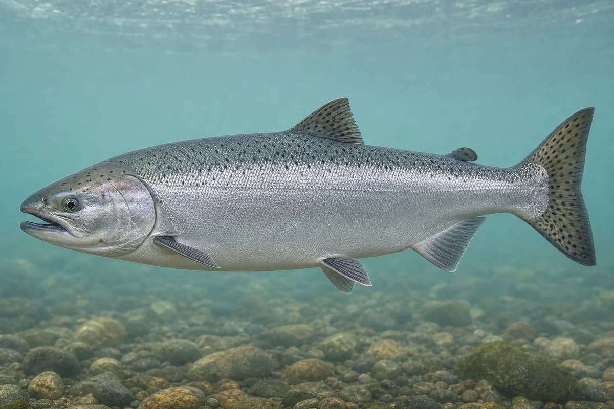
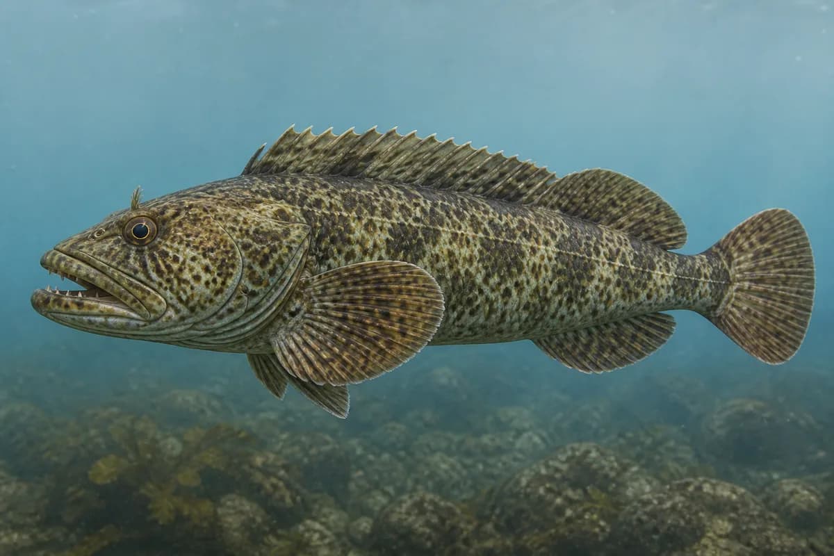
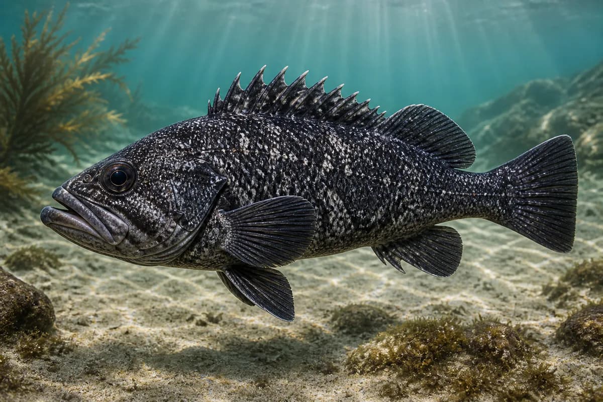
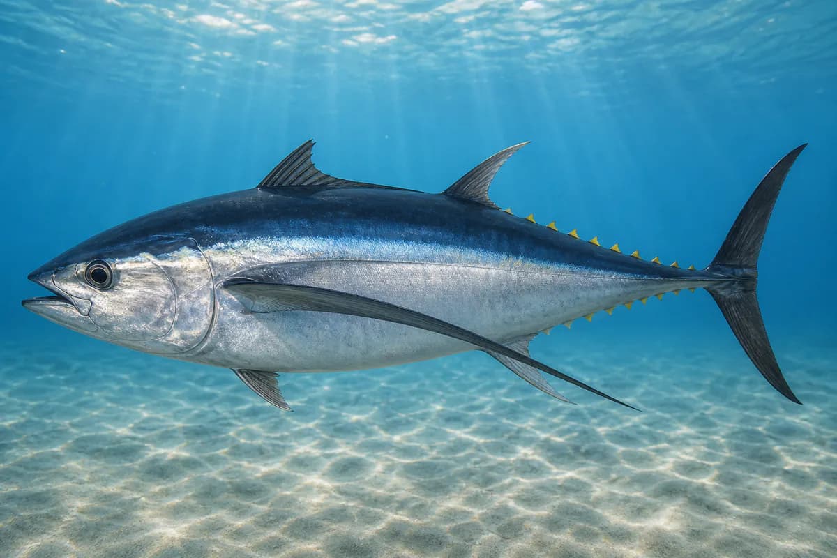
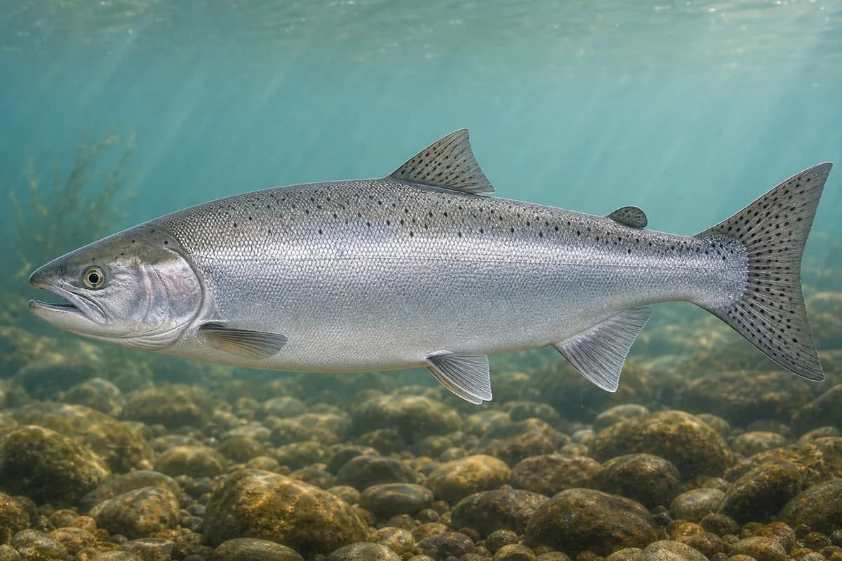
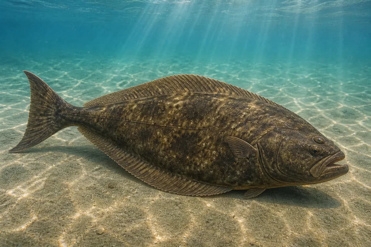
Species images are AI-generated illustrations for visual reference and may simplify natural variation. Fishery records are based on the cited agency and editorial sources. About fish illustrations
Chinook Salmon
PrimaryRegulations vary annuallyOncorhynchus tshawytscha
Typical seasonal opportunity: SUMMER — EARLY FALL
Lingcod
PrimaryRegulations vary annuallyOphiodon elongatus
Typical seasonal opportunity: SUMMER
Sebastes melanops
Also called Black bass
Typical seasonal opportunity: SPRING — FALL
Thunnus alalunga
Also called Longfin tuna
Typical seasonal opportunity: SUMMER — EARLY FALL
Coho Salmon
SecondaryRegulations vary annuallyOncorhynchus kisutch
Typical seasonal opportunity: SUMMER — EARLY FALL
Hippoglossus stenolepis
No seasonal pulse known
Typical Seasonal Targets
- Chinook Salmon — SUMMER — EARLY FALL
- Lingcod — SUMMER
- Black rockfish — SPRING — FALL
- Albacore — SUMMER — EARLY FALL
- Coho Salmon — SUMMER — EARLY FALL
Seasonal presence is general guidance and does not indicate current fish activity.
Access, Safety and Regulations
Access
Offshore boat from San Francisco. Not the Golden Gate shore.
Primary hazards
Exposed island waters. These grounds are the fishable water west of the island reserves.
Fishery considerations
- Golden Gate tides are not representative of this location.
- Regional NWS. 46026 is not on-feature.
Regulations
Size limits, seasons, and possession rules change. Verify the current official regulations before fishing.
Fishery Sources
Editorial and agency sources supporting this fishery profile. Live and predicted conditions use the separate Data Sources section.
Location and Access
This marker is the mapped fishing area. It is not a boat ramp, a parking area, or a place to drive to.