San Francisco Golden Gate is a current-driven shore and bay-entrance fishery where deep channel water, rocky points, and the Pacific-to-bay exchange converge. Striped bass and California halibut are major targets, with Chinook salmon adding a migratory open-water component.
Current Coastal Rating
Fair · 56
Beta
Conditions are fair, but confidence is reduced because some coastal inputs are partial or prediction-based.
Scores are model-specific and are not directly comparable across water types.
Should I Go?
Trip conditions only. Target-species activity and seasonal fishery patterns are not yet included.
Consider
Trip conditions may be workable, but important cautions or data limitations remain.
High confidence in the evaluated inputs — observational coverage is partial. — Required data sources were available and the key inputs were current.
Evaluates trip conditions using weather, tides, currents, waves, daylight, and active alerts.
This coastal rating is in public beta.
Missing waves are not calm. Forecast is not an observation. Prediction is not an observation.
Because this rating is in public beta, recommendations are capped at Consider when evidence is limited.
Service Status
Degraded
Coastal conditions are partial, stale, or predictions-only.
Recommended window
Tuesday · 11:00 AM–2:00 PM PDT
Window score
81
Max wind
6 mph
Max gust
7 mph
Daylight
100% of window
Tide state
falling
Peak current
0.8 kn
Why
Strong daylight coverage supports the evaluated window.
Current Readings
Updated Oct 20, 2026, 2:59 AM
NOAA Station
NOAA Station selected
Source
NOAA CO-OPS
San Francisco station
0.0 mi from destination
Water level
2.1 ft MLLW
Updated 6 min ago
Wind
S · 3 mph
Updated 6 min ago
Wind gust
3 mph
Updated 6 min ago
Some observation sources are temporarily unavailable.
Past 7 Days
NOAA Station
NOAA Station selected
Water level
Window Oct 13, 2026, 2:59 AM – Oct 20, 2026, 2:59 AM (rolling 168 hours)
Water level over the past 7 days. 1680 observations · from Oct 13, 2026, 3:00 AM · to Oct 20, 2026, 2:54 AM Range 0.7 ft MLLW to 6.8 ft MLLW.
Readings decreased over the available period.
1680 observations · from Oct 13, 2026, 3:00 AM · to Oct 20, 2026, 2:54 AM
These values are tidal-current predictions, not real-time observed currents. They describe conditions near this prediction station rather than the entire surrounding coastal area.
Data coverage
This station provides max-current and slack-water events, but not a continuous current-speed timeline.
Tidal-current timing can differ from high and low tide timing.
Fishery Profile
Fishery Overview
San Francisco Golden Gate striped bass and salmon shore fishery
This profile covers the Golden Gate / Fort Point waterfront. Striped bass are the main target, with seasonal Chinook when the ocean-salmon fishery is open, plus California halibut and surfperch. Ocean coho retention is prohibited. The water is a current-edge fishery along the waterfront rock.
Fishery type
Golden gate striped bass salmon
Fishing modes
Shore
Inshore boat
Habitat and structure
Golden Gate / Fort Point rock and riprap · Torpedo Wharf public pier · Tide-affected Gate current edges
Static seasonal guidance · Last reviewed Aug 15, 2026
Not a live bite forecast.
Fishery Targets
Striped bass are the year-round Gate target. Chinook only when the SF ocean-salmon table is open. California halibut are fished in San Francisco Bay. Inside-bay perch seasons differ from the open coast.
This reflects typical biological/fishery timing, not a legal open season. Check current regulations before fishing.
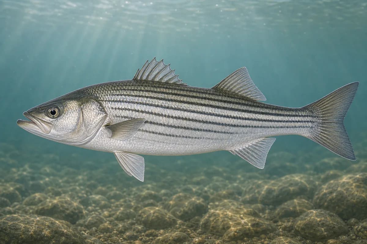
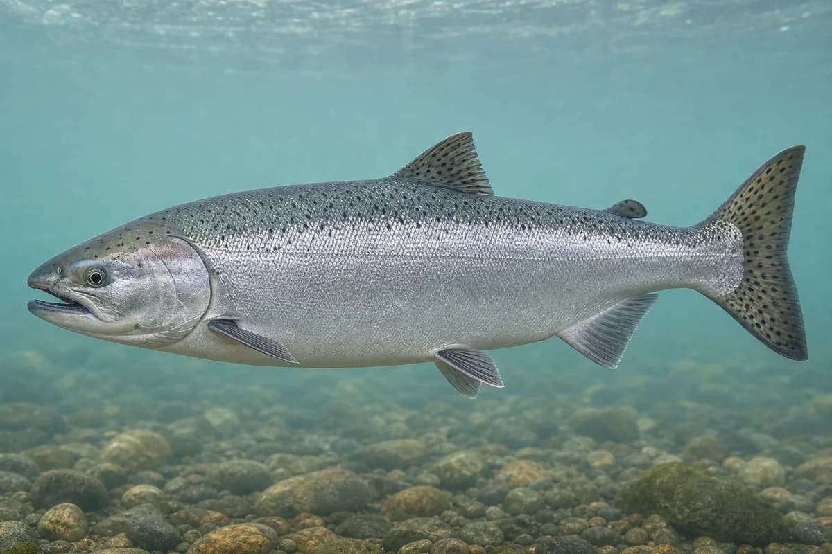
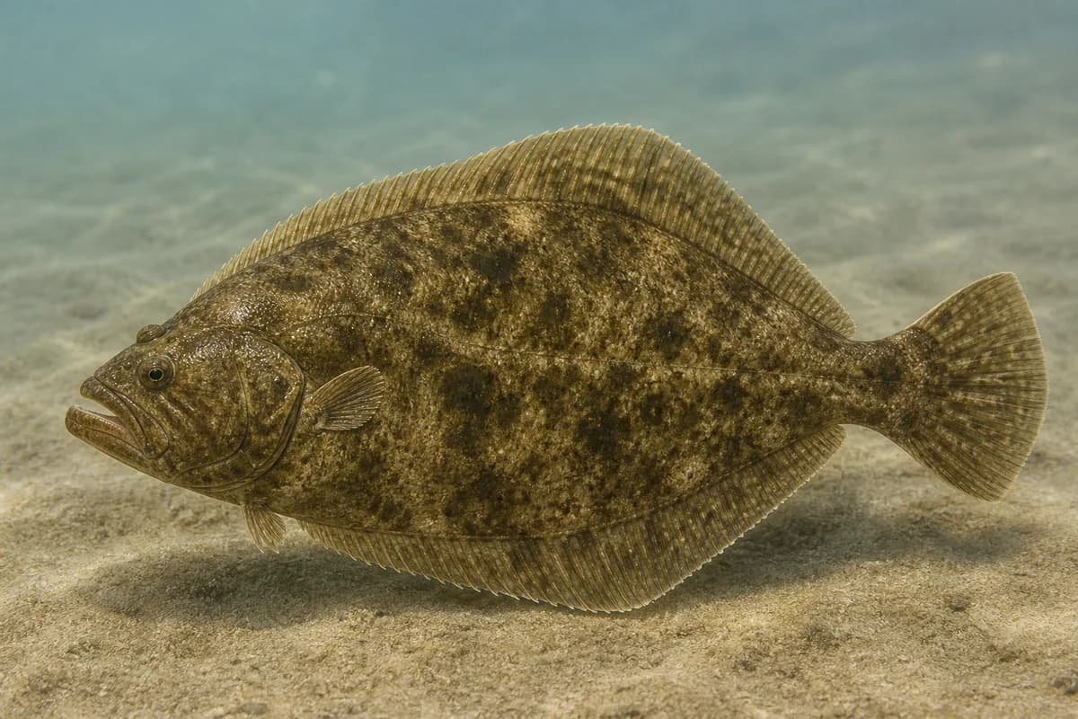
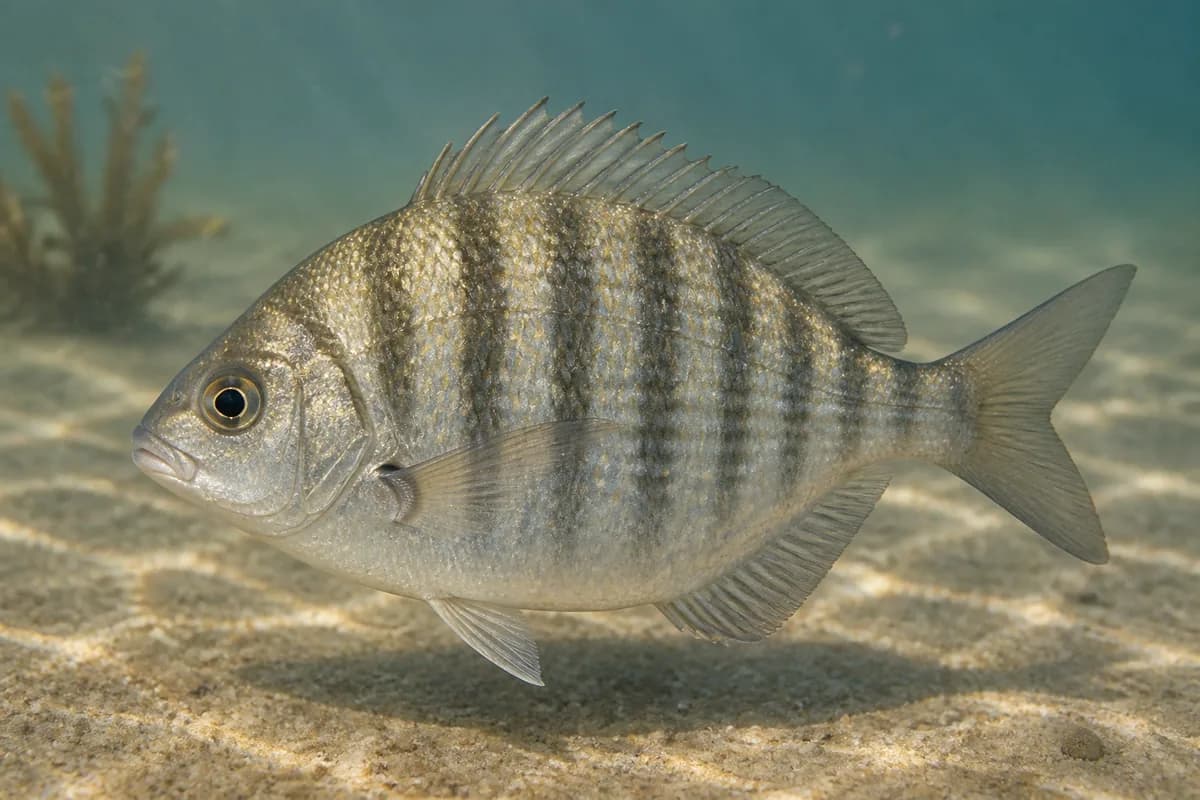
Species images are AI-generated illustrations for visual reference and may simplify natural variation. Fishery records are based on the cited agency and editorial sources. About fish illustrations
Striped bass
Primary
Morone saxatilis
Currently in a typical seasonal window
Typical seasonal window: JUNE — OCTOBER
These fish are present through the year. The peak shown is the main fishing window.
Chinook salmon
PrimaryRegulations vary annually
Oncorhynchus tshawytscha
Typical seasonal opportunity: SUMMER — EARLY FALL
California halibut
Secondary
Paralichthys californicus
Also called California flounder
Typical seasonal window: MAY — AUGUST
These fish are present through the year. The peak shown is the main fishing window.
Barred surfperch
Secondary
Amphistichus argenteus
Currently in a typical seasonal window
Typical seasonal window: AUGUST — MARCH
Typical Seasonal Targets
Striped bass — JUNE — OCTOBER
Chinook salmon — SUMMER — EARLY FALL
California halibut — MAY — AUGUST
Barred surfperch — AUGUST — MARCH
Seasonal presence is general guidance and does not indicate current fish activity.
How to Fish San Francisco Golden Gate
Typical October approaches include current-edge and waterfront casting and halibut and perch along the gate waterfront for Striped bass and Barred surfperch.
Current-edge and waterfront casting
Cast along Gate current edges and waterfront rock for striped bass and seasonal salmon when CDFW seasons are open.
Best for
Striped bass
Modes
Shore
Inshore boat
Setup
Gate waterfront setup
Halibut and perch along the Gate waterfront
Fish sand and current edges for California halibut and perch. Confirm inside-bay perch seasons.
Best for
Barred surfperch
Modes
Shore
Inshore boat
Setup
Gate waterfront setup
Common Tackle Setups
Gate waterfront setup
Shore spinning for striped bass, seasonal salmon, and halibut.
Rod
8–10 ft spinning rod suited to harbor or waterfront casting.
Reel
Spinning reel with a smooth drag.
Main line
20–40 lb braid.
Leader
Fluorocarbon or mono leader suited to rock and current.
Terminal tackle
Swivels and clips sized for spoons, jigs, or bait.
Presentation
Confirm current CDFW SF Bay and ocean-salmon tables.; NPS Crissy Field shoreline and the former Coast Guard Pier are closed to fishing.
Used for
Current-edge and waterfront casting
Halibut and perch along the Gate waterfront
Typical October Lures and Flies
Common lure and fly families associated with this month’s techniques.
Lures
Soft-plastic paddle tail
Lure
Striped bass
Barred surfperch
Shallow, Midwater, Variable · Steady, twitch, jig
Swim steadily through seams or hop lightly near bottom transitions
The map marker represents the cataloged waterbody or monitoring location and may not indicate legal parking or public access. Confirm access through the official information before visiting.