Offshore
Coxes Ledge
Offshore · Rhode Island · Coxes Ledge / Southern New England
Location Snapshot
Coxes Ledge is a Rhode Island offshore ledge fishery where raised bottom structure creates a distinct groundfish destination beyond the coastal shore fishery. Atlantic cod, black sea bass, and haddock are the principal supported targets, giving the ledge a clear coldwater bottom-fishing identity.
Information Only
StrikeTracks does not currently provide an Offshore fishing-condition rating. Marine Conditions are observations and forecasts for trip planning. They are not an Excellent, Good, Fair, or Poor fishing score.
Marine Conditions
Planning context — not a fishing rating.
Regional Marine Forecast
Today
NE winds 25 to 30 kt with gusts up to 40 kt. Seas 7 to 10 ft. Wave Detail: E 8 ft at 11 seconds and N 6 ft at 6 seconds.
Wave Height
9.2 ft
Nearby / representative
Block Island, RI · NDBC 44097
Wave Period
10 s
Nearby / representative
Block Island, RI · NDBC 44097
Wave Direction
SE
Nearby / representative
Block Island, RI · NDBC 44097
Water Temperature
61.2°F
Nearby / representative
Block Island, RI · NDBC 44097
Marine Alerts
- Gale Warning · Moderate — Gale Warning issued October 20 at 2:16AM EDT until October 21 at 8:00PM EDT by NWS Boston/Norton MA
Nearby fishing destinations
Rhode Island · Southern New England · Shore
Approximately 22.4 miles away
Rhode Island · Southern New England · Harbor
Approximately 27.3 miles away
Rhode Island · Southern New England · Bay
Approximately 32.6 miles away
Fishery Profile
Fishery Overview
Coxes Ledge offshore fishery
Coxes Ledge is a Southern New England ledge for Atlantic cod, black sea bass, and haddock. It is not the Block Island shore, Montauk Point, Hudson Canyon, or the Rhode Island beach fishery. The habitat area that includes the ledge is not a fishing closure, and nearby wind leases are not no-take areas. Recreational Atlantic cod retention is legally restricted.
- Habitat and structure
- Named ledge · Groundfish and tuna water
Static seasonal guidance · Last reviewed Sep 2, 2026
Not a live bite forecast.
Fishery Targets
Haddock follow a typical season. Seasons for Cod and black sea bass change with the annual rules.
This reflects typical biological/fishery timing, not a legal open season. Check current regulations before fishing.
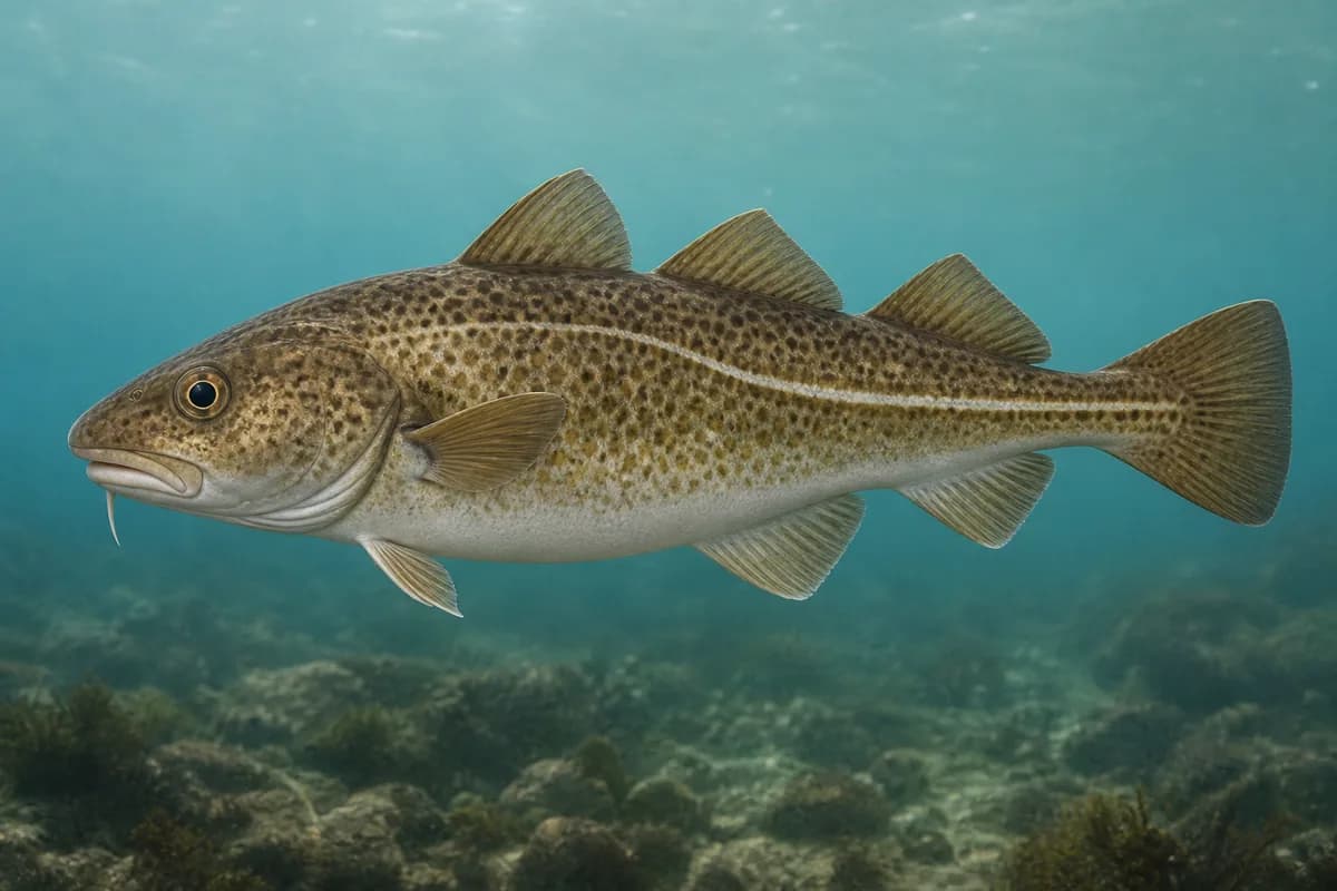
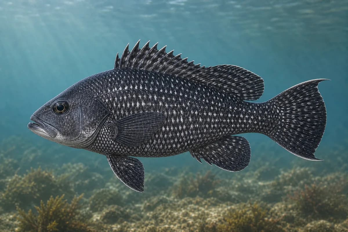
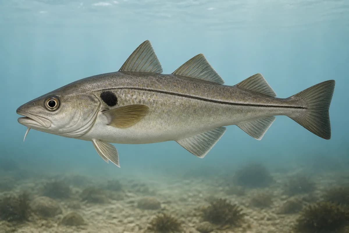
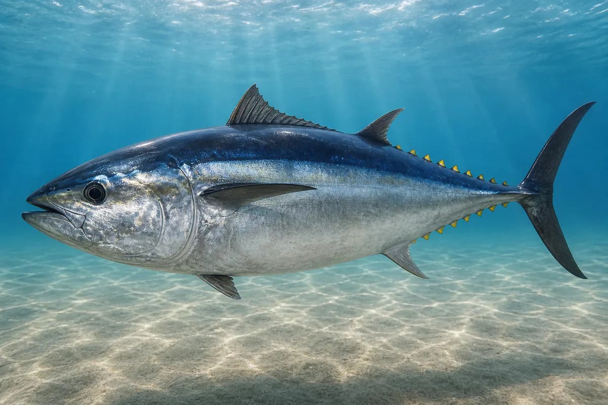
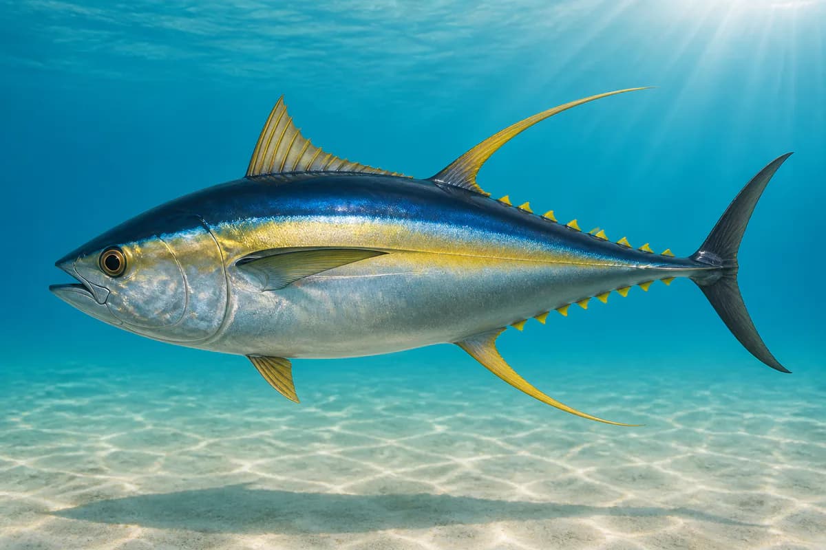
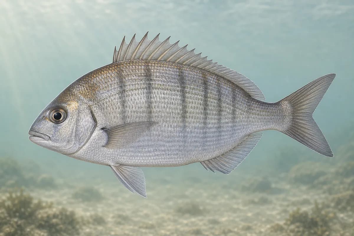
Species images are AI-generated illustrations for visual reference and may simplify natural variation. Fishery records are based on the cited agency and editorial sources. About fish illustrations
Atlantic cod
PrimaryRegulations vary annuallyGadus morhua
Typical seasonal opportunity: SPRING — FALL
Black sea bass
PrimaryRegulations vary annuallyCentropristis striata
Typical seasonal opportunity: SUMMER
Melanogrammus aeglefinus
Typical seasonal opportunity: SPRING — FALL
Atlantic bluefin tuna
SecondaryThunnus thynnus
Also called Bluefin tuna
No seasonal pulse known
Thunnus albacares
Also called Ahi
No seasonal pulse known
Stenotomus chrysops
No seasonal pulse known
Typical Seasonal Targets
- Atlantic cod — SPRING — FALL
- Black sea bass — SUMMER
- Haddock — SPRING — FALL
Seasonal presence is general guidance and does not indicate current fish activity.
Access, Safety and Regulations
Access
Offshore boat from Point Judith and nearby Southern New England ports. No shore access.
Primary hazards
Open Southern New England seas.
Fishery considerations
- Newport and Point Judith harbor tides are not this ledge's local tide.
- Regional NWS.
Regulations
Size limits, seasons, and possession rules change. Verify the current official regulations before fishing.
Fishery Sources
Editorial and agency sources supporting this fishery profile. Live and predicted conditions use the separate Data Sources section.
Location and Access
This marker is the mapped fishing area. It is not a boat ramp, a parking area, or a place to drive to.