Tampa Bay at Fort De Soto / Egmont Channel is a west-central Florida shore fishery where flats, passes, beaches, and the bay entrance meet around the lower Tampa Bay complex. Common snook, red drum, spotted seatrout, sheepshead, atlantic tarpon, and florida pompano are the principal supported targets.
Current Coastal Rating
Fair · 66
Beta
Conditions are fair, but confidence is reduced because some coastal inputs are partial or prediction-based.
Scores are model-specific and are not directly comparable across water types.
Should I Go?
Trip conditions only. Target-species activity and seasonal fishery patterns are not yet included.
Go
Trip conditions look suitable during the recommended window based on the available data.
Medium confidence — The recommendation is usable, but one or more inputs are regional, proxied, stale, or incomplete.
Evaluates trip conditions using weather, tides, currents, waves, daylight, and active alerts.
This coastal rating is in public beta.
Missing waves are not calm. Forecast is not an observation. Prediction is not an observation.
Service Status
Degraded
Coastal conditions are partial, stale, or predictions-only.
Recommended window
Tuesday · 10:00 AM–1:00 PM EDT
Window score
81
Max wind
14 mph
Max gust
23 mph
Daylight
100% of window
Tide state
falling
Current event
Slack in window
Why
Strong daylight coverage supports the evaluated window.
Watch for
Tide timing uses a nearby prediction proxy.
Coastal conditions can change quickly. Review official alerts and current conditions before heading out.
These values are tidal-current predictions, not real-time observed currents. They describe conditions near this prediction station rather than the entire surrounding coastal area.
Data coverage
This station provides max-current and slack-water events, but not a continuous current-speed timeline.
Tidal-current timing can differ from high and low tide timing.
Fishery Profile
Fishery Overview
Tampa Bay at Fort De Soto / Egmont Channel park fishery
A Tampa Bay entrance park fishery at Fort De Soto County Park on the Pinellas side of Egmont Channel. Gulf and bay piers, beaches, grass flats, mangrove edges, and public boat access concentrate snook, red drum, and spotted seatrout, with sheepshead, tarpon, and Florida pompano around piers and sand.
Fishery type
Bay entrance park pier flats
Fishing modes
Shore
Wade
Inshore boat
Habitat and structure
Fort De Soto Gulf Pier and Bay Pier · Egmont Channel / Tampa Bay entrance grass flats, mangrove islands, and oyster · Park beaches, passes, and boat-basin edges inside Pinellas County Fort De Soto Park
Static seasonal guidance · Last reviewed Aug 15, 2026
Not a live bite forecast.
Fishery Targets
The FWC Tampa Bay Boating and Angling Guide lists snook, red drum, spotted seatrout, sheepshead, tarpon, and Florida pompano among popular Tampa Bay sport fish, with habitat notes that match Fort De Soto's piers, grass, mangroves, and bay entrance. Listed species are not equally available every month. Seasonal notes describe typical presence.
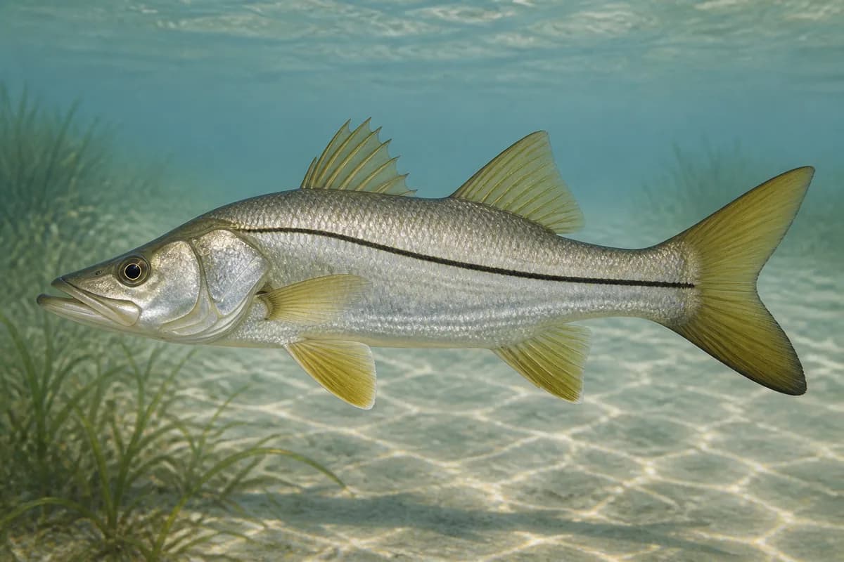
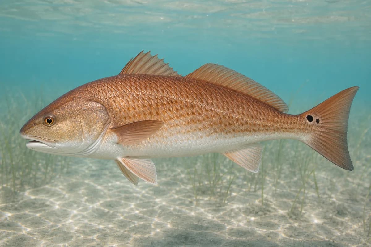
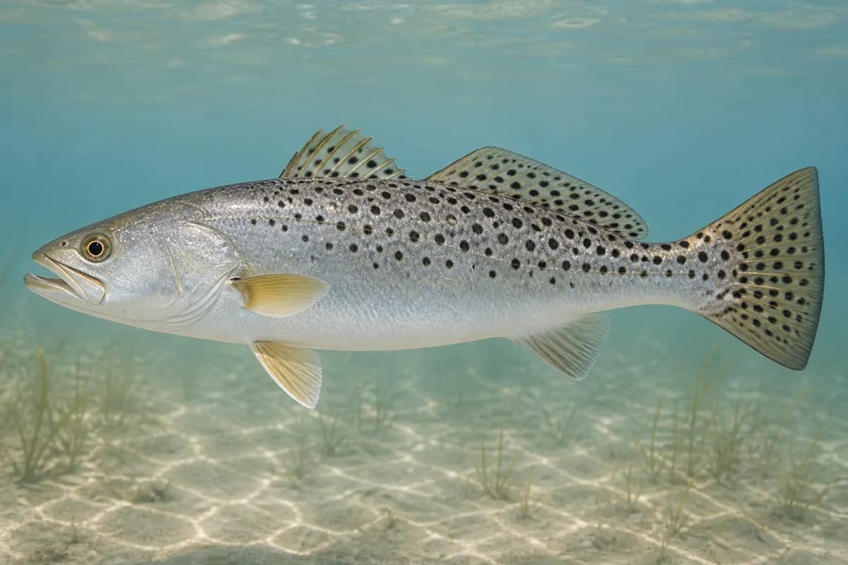
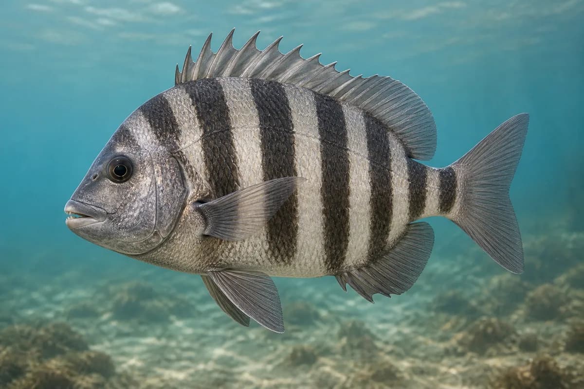
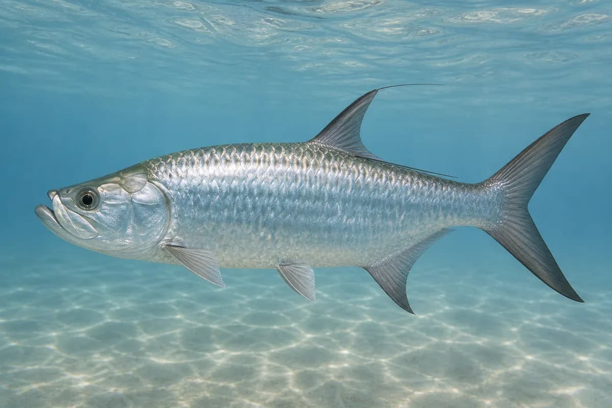
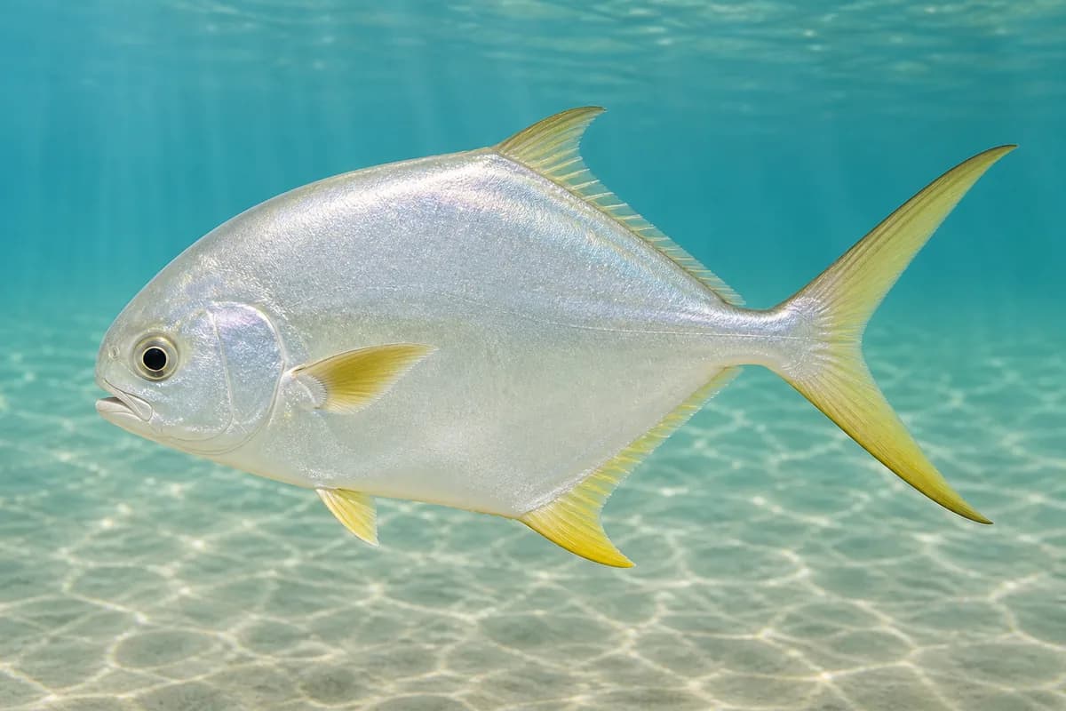
Species images are AI-generated illustrations for visual reference and may simplify natural variation. Fishery records are based on the cited agency and editorial sources. About fish illustrations
Common snook
Primary
Centropomus undecimalis
Typical seasonal window: MAY — SEPTEMBER
FWC Tampa Bay Boating and Angling Guide: snook use canals and deep warm water in cool months and tidal passes / mangrove fringe at high tide. Fort De Soto sits at the bay entrance inside FWC's Gulf snook range (Cedar Key south). Harvest dates follow the current regulations.
Red drum
Primary
Sciaenops ocellatus
Also called Redfish
Currently in a typical seasonal window
Typical seasonal window: AUGUST — NOVEMBER
FWC Tampa Bay guide: inshore near grass, oyster, and docks. Deeper channels in the warmest and coolest months.
Spotted seatrout
Primary
Cynoscion nebulosus
No seasonal pulse known
FWC Tampa Bay guide: inshore over grass, sand, and sandy/mud; deeper water in the warmest and coolest months.
Sheepshead
Secondary
Archosargus probatocephalus
No seasonal pulse known
FWC Tampa Bay guide: inshore around oyster, seawalls, and creeks; moves nearshore in late winter and early spring for spawning.
Atlantic tarpon
Secondary
Megalops atlanticus
No seasonal pulse known
FWC Tampa Bay guide: mostly inshore near bridges, pilings, rock walls, harbors, structure, and flats.
Florida pompano
Secondary
Trachinotus carolinus
No seasonal pulse known
FWC Tampa Bay guide: inshore and nearshore, especially along sandy beaches, oyster, and grass. Gulf-pier and beach class at Fort De Soto.
Typical Seasonal Targets
Common snook — MAY — SEPTEMBER
Red drum — AUGUST — NOVEMBER
Seasonal presence is general guidance and does not indicate current fish activity.
How to Fish Tampa Bay at Fort De Soto / Egmont Channel
Typical October approaches include flats, mangrove, and pass casting for Red drum.
Flats, mangrove, and pass casting
Cast paddle tails, swimming plugs, and poppers along grass, mangrove, and pass edges for snook, red drum, and spotted seatrout from shore, wade, or boat.
Best for
Red drum
Modes
Shore
Wade
Inshore boat
Setup
Fort De Soto inshore casting setup
Common Tackle Setups
Fort De Soto inshore casting setup
Light to medium spinning tackle for snook, red drum, and spotted seatrout on grass and mangrove edges.
Rod
Medium spinning rod; step up for tarpon around pilings.
Reel
Spinning reel with a reliable drag.
Main line
Braided main line.
Leader
Fluorocarbon; heavier leader for snook and tarpon.
Terminal tackle
Light jig heads for grass.; Snaps for plugs.
Presentation
The FWC Tampa Bay guide describes the estuary species at this park and entrance.
Used for
Flats, mangrove, and pass casting
Typical October Lures and Flies
Common lure and fly families associated with this month’s techniques.
Minnow-style swimming plug
Lure
Red drum
Shallow to midwater · Steady, twitch, pause
Cast across seams and let the plug track with the current
Soft-plastic paddle tail
Lure
Red drum
Shallow, Midwater, Variable · Steady, twitch, jig
Swim steadily through seams or hop lightly near bottom transitions
Hop, swim, or drift depending on depth and current speed
General seasonal guidance, not a live recommendation, product endorsement, or guarantee of success.
Access, Safety and Regulations
Access
Public access is Pinellas County Fort De Soto Park (3500 Pinellas Bayway South, Tierra Verde). The county lists two fishing piers (Gulf pier with food and bait concession; Gulf and Bay pier hours posted), requires a fishing license throughout the park including piers, and charges a park entrance fee. FWC's Tampa Bay boating guide maps Tierra Verde / Fort De Soto public ramps and piers. Confirm current pier, ramp, and road postings — storm repairs have affected park infrastructure.
Primary hazards
Egmont Channel carries ship and boat traffic. Lightning, heat, stingrays, and gulf surge are routine. Confirm pier closures after storms rather than assuming both piers are open.
Fishery considerations
Tide across the flats and current in Egmont Channel are the fishing context.
East wind can dirty the bay side; west wind stacks the gulf beaches. A local wave reading is not available here.
Regulations
Size limits, seasons, and possession rules change. Verify the current official regulations before fishing.
The map marker represents the cataloged waterbody or monitoring location and may not indicate legal parking or public access. Confirm access through the official information before visiting.