Providence / Upper Narragansett Bay is an urban estuary fishery where the Providence River and upper bay create tidal channels, shore structure, and protected inshore water. Striped bass are the principal supported target, with bluefish adding a seasonal migratory component.
Current Coastal Rating
Fair · 56
Beta
Conditions are fair, but confidence is reduced because some coastal inputs are partial or prediction-based.
Scores are model-specific and are not directly comparable across water types.
Should I Go?
Trip conditions only. Target-species activity and seasonal fishery patterns are not yet included.
Consider
Trip conditions may be workable, but important cautions or data limitations remain.
High confidence — Required data sources were available and the key inputs were current.
Evaluates trip conditions using weather, tides, currents, waves, daylight, and active alerts.
Recommendation scope
Shore
Boat and kayak conditions are not included in this recommendation.
Service Status
Degraded
Coastal conditions are partial, stale, or predictions-only.
Recommended window
Tuesday · 11:00 AM–2:00 PM EDT
Window score
72
Max wind
15 mph
Max gust
31 mph
Daylight
100% of window
Tide state
rising
Max current
0.1 kn
Why
Strong daylight coverage supports the evaluated window.
Watch for
Predicted gusts are elevated for this trip mode.
Coastal conditions can change quickly. Review official alerts and current conditions before heading out.
Automated species match
Likely targets for this window
Matched to the same safe fishing window used by Should I Go?
Bluefish
Strong match
In the typical seasonal window
Tide pattern aligns
Common approaches: River and upper-bay predator casting
Common presentations: Minnow-style swimming plug, Soft-plastic paddle tail, Compact casting metal
Striped bass
Strong match
In the typical seasonal window
Tide pattern aligns
Common approaches: River and upper-bay predator casting, Bridge and bulkhead structure fishing
Common presentations: Minnow-style swimming plug, Soft-plastic paddle tail, Bucktail jig
Bluefish and Striped bass have similarly strong profile matches for this window. Based on seasonal presence and tide.
This is automated, profile-based guidance—not a guarantee of catch or a statement of fishing regulations.
Current Readings
Updated Oct 20, 2026, 5:58 AM
NOAA Station
NOAA Station selected
Source
NOAA CO-OPS
Providence station
0.0 mi from destination
Water level
3.2 ft MLLW
Updated 11 min ago
Water temperature
59.4°F
Updated 11 min ago
Wind
N · 7 mph
Updated 11 min ago
Wind gust
9 mph
Updated 11 min ago
Past 7 Days
NOAA Station
NOAA Station selected
Water level
Window Oct 13, 2026, 5:58 AM – Oct 20, 2026, 5:58 AM (rolling 168 hours)
Water level over the past 7 days. 1679 observations · from Oct 13, 2026, 6:00 AM · to Oct 20, 2026, 5:48 AM Range 0.5 ft MLLW to 5.9 ft MLLW.
Readings increased over the available period.
1679 observations · from Oct 13, 2026, 6:00 AM · to Oct 20, 2026, 5:48 AM
These values are tidal-current predictions, not real-time observed currents. They describe conditions near this prediction station rather than the entire surrounding coastal area.
Data coverage
Current predictions represent Providence River / Fox Point Reach, not Newport or lower Narragansett Bay.
Tidal-current timing can differ from high and low tide timing.
Fishery Profile
Fishery Overview
Providence River and upper Narragansett Bay urban estuary
An urban estuary fishery focused on the Providence River and upper Narragansett Bay shorelines, where tidal exchange and seasonal bait movement shape access-based fishing.
Fishery type
Urban estuary
Upper bay
Fishing modes
Shore
Inshore boat
Habitat and structure
Providence River bulkheads and bridges · Upper-bay shorelines · Fox Point Reach tidal structure · Urban piers and public access points
Static seasonal guidance · Last reviewed Jul 22, 2026
Not a live bite forecast.
Fishery Targets
Striped bass lead the urban estuary season. Bluefish, scup, and flounder are warm-month secondary targets. This is distinct from Newport and lower Narragansett Bay fishing.
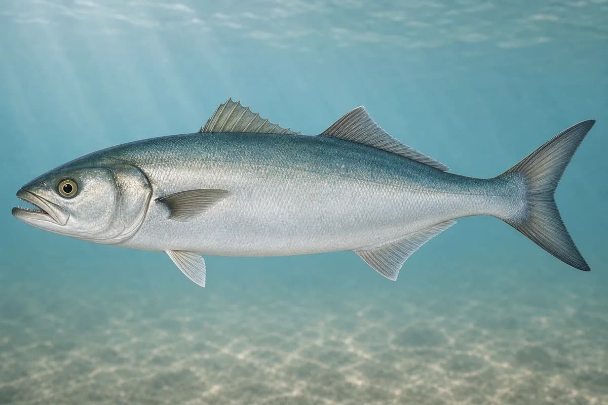
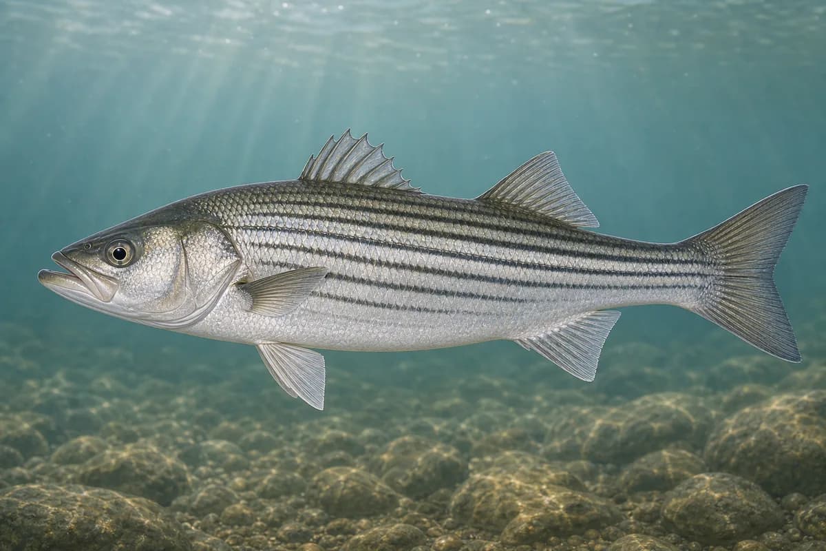
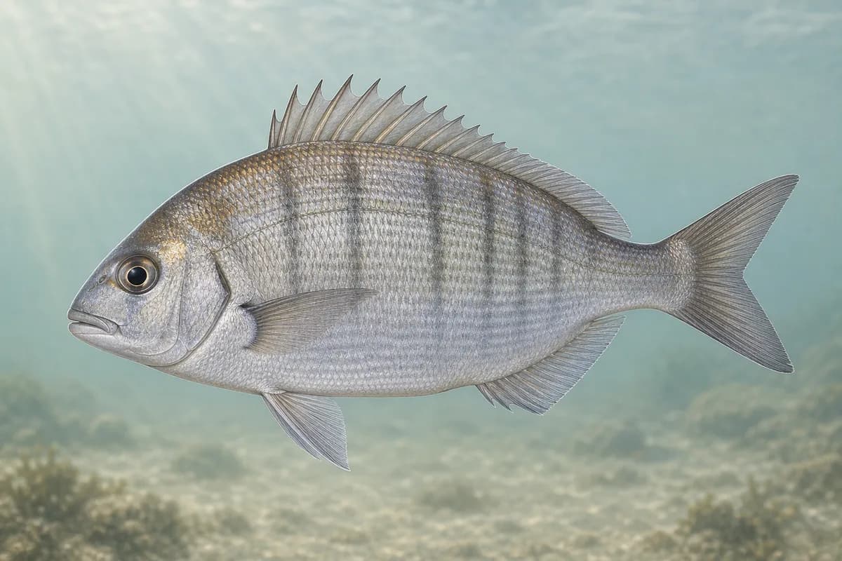
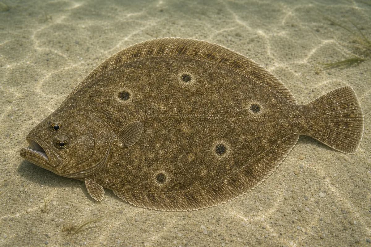
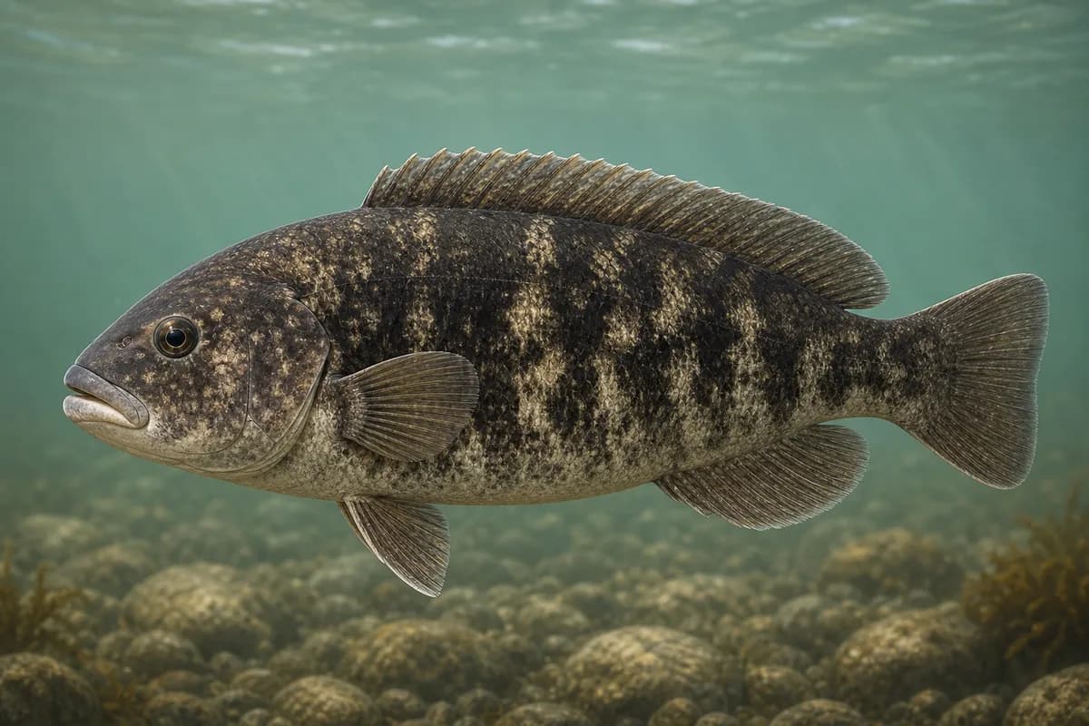
Species images are AI-generated illustrations for visual reference and may simplify natural variation. Fishery records are based on the cited agency and editorial sources. About fish illustrations
Striped bass
Primary
Morone saxatilis
Currently in a typical seasonal window
Typical seasonal window: APRIL — NOVEMBER
River reaches, bridges, and upper-bay shorelines.
Bluefish
Secondary
Pomatomus saltatrix
Currently in a typical seasonal window
Typical seasonal window: JUNE — OCTOBER
Scup
Secondary
Stenotomus chrysops
Currently in a typical seasonal window
Typical seasonal window: MAY — OCTOBER
Summer flounder
Secondary
Paralichthys dentatus
Typical seasonal window: MAY — SEPTEMBER
Tautog
Seasonal
Tautoga onitis
Currently in a typical seasonal window
Typical seasonal window: APRIL — MAY; SEPTEMBER — NOVEMBER
Typical Seasonal Targets
Striped bass — APRIL — NOVEMBER
Bluefish — JUNE — OCTOBER
Scup — MAY — OCTOBER
Summer flounder — MAY — SEPTEMBER
Tautog — APRIL — MAY; SEPTEMBER — NOVEMBER
Seasonal presence is general guidance and does not indicate current fish activity.
How to Fish Providence / Upper Narragansett Bay
Common seasonal approaches for this destination.
Bridge and bulkhead structure fishing
Fish current seams and structure around bridges and walls.
Best for
Striped bass
Scup
Tautog
Modes
Shore
Inshore boat
Setup
Urban estuary predator setup
Upper-bay bottom setup
River and upper-bay predator casting
Cast plugs and soft plastics along river bulkheads and upper-bay edges.
Best for
Striped bass
Bluefish
Modes
Shore
Inshore boat
Setup
Urban estuary predator setup
Upper-bay bottom presentations
Bottom fish for flounder and scup on upper-bay edges.
Best for
Scup
Modes
Shore
Inshore boat
Setup
Upper-bay bottom setup
Common Tackle Setups
Urban estuary predator setup
Medium spinning for bass and bluefish in river/upper-bay water.
Rod
7–8 ft medium spinning rod.
Reel
Reliable-drag spinning reel.
Main line
Braid.
Leader
Abrasion-resistant leader around structure.
Terminal tackle
Snaps.; Jigs.
Presentation
Fox Point Reach currents is not Newport or lower-bay conditions.
Used for
Bridge and bulkhead structure fishing
River and upper-bay predator casting
Upper-bay bottom setup
Light to medium bottom fishing for scup and flounder.
Rod
6–7 ft light to medium rod.
Reel
Light spinning reel.
Main line
Light braid.
Leader
Fluorocarbon leader.
Terminal tackle
Small hooks.; Jigs.
Used for
Bridge and bulkhead structure fishing
Upper-bay bottom presentations
Typical October Lures and Flies
Common lure and fly families associated with this month’s techniques.
The map marker represents the cataloged waterbody or monitoring location and may not indicate legal parking or public access. Confirm access through the official information before visiting.