Coastal conditions

Mayagüez

Harbor · Puerto Rico · Puerto Rico / Mayagüez

Active coastal or marine alerts

  • Heat Advisory

    Severity: Moderate

    Heat Advisory issued September 5 at 2:19AM AST until September 5 at 5:00PM AST by NWS San Juan PR

    Begins Sep 5, 2026, 10:00 AM · Ends Sep 5, 2026, 5:00 PM

    Drink plenty of fluids, stay in an air-conditioned room, stay out of the sun, and check up on relatives and neighbors. Take extra precautions when outside. Wear lightweight and loose fitting clothing. Try to limit strenuous activities to early morning or evening. Take action w…

    Official NWS alert

Current Coastal Rating

Fair · 56

Beta

Conditions are mixed. Review the details below before heading out.

Scores are model-specific and are not directly comparable across water types.

Should I Go?

Trip conditions only. Target-species activity and seasonal fishery patterns are not yet included.

Consider

Trip conditions may be workable, but important cautions or data limitations remain.

High confidence in the evaluated inputs — observational coverage is partial. Required data sources were available and the key inputs were current.

Evaluates trip conditions using weather, tides, currents, waves, daylight, and active alerts.

  • Policy PR_PATH2_PROVISIONAL_POLICY_V1. Authority NATIONAL_NWS_ISSUANCE_FLOORS_SHARED_EVALUATOR.
  • Provisional conservative non-empirical Puerto Rico product-policy. Not accepted Caribbean fishing thresholds. Not PATH1. Not calibrated V1 science.
  • NWS national SCA / Gale issuance floors are safety anchors, not optimal fishing cuts.
  • Does not inherit Northeast, Mid-Atlantic, Southeast, Gulf, PSW, PNW, or Hawaii numerics or weights.
  • empiricalCalibratedFishingThresholds=false. puertoRicoSpecificWeights=false. productionThresholdsAuthorized=false. path1Authorized=false.
  • Missing waves are not calm. Forecast is not an observation. Prediction is not an observation.
  • Current axis is UNSUPPORTED. Null current is not slack or zero. Tide is not current.
  • Verdict capped at Consider while calibration remains incomplete. Adverse Wait / Do Not Go / Unavailable are not weakened.
  • Open-coast or too-remote wave is supporting/context only and is not inner-water scoring truth.

About this recommendation

Uses StrikeTracks coastal policy 2026-07.

Recommended window

Saturday · 6:00 AM–9:00 AM AST

Window score

76

Max wind
3 mph
Max gust
7 mph
Daylight
67% of window
Tide state
falling

Why

  • Tide timing is within the preferred trip-condition range for this destination.

Current Readings

Updated Sep 5, 2026, 3:49 AM

NOAA Station selected

Source

  • NOAA CO-OPS
  • Mayaguez station
  • 0.0 mi from destination
Water level
1.4 ft MLLW

Updated 8 min ago

Past 7 Days

NOAA Station selected

Water level

Window Aug 29, 2026, 3:49 AM Sep 5, 2026, 3:49 AM (rolling 168 hours)

Water level over the past 7 days. 1679 observations · from Aug 29, 2026, 3:54 AM · to Sep 5, 2026, 3:42 AM Range 0.5 ft MLLW to 2.2 ft MLLW.

Readings increased over the available period.

1679 observations · from Aug 29, 2026, 3:54 AM · to Sep 5, 2026, 3:42 AM

  • NOAA CO-OPS · Mayaguez · Station 9759394
  • Station at destination
  • Approximately 0.0 mi from destination
  • Observation type: observed
  • Unit: ft
  • Datum: MLLW

Nearby coastal destinations

  • Rincón11 mi

    Puerto Rico · Puerto Rico / Rincón · Shore

    Approximately 11 miles away

  • Puerto Rico · Puerto Rico / La Parguera · Bay

    Approximately 18.5 miles away

  • Ponce39.6 mi

    Puerto Rico · Puerto Rico / Ponce · Harbor

    Approximately 39.6 miles away

Predicted Tides

Predicted

Falling

Next low tide

Sep 5, 2026, 8:32 AM

In 4 hr 42 min

0.1 ft MLLW

Previous

High · Sep 5, 2026, 2:13 AM · 1.0 ft MLLW

Following

High · Sep 5, 2026, 3:55 PM · 1.5 ft MLLW

Tide station at destination

Mayaguez · NOAA 9759394

Predicted Tidal Current

Predicted

No representative tidal-current prediction station is configured for this destination.

Tidal-current timing can differ from high and low tide timing.

Fishery Profile

Fishery Overview

Mayagüez Harbor and west nearshore / Mona-context fishery

Mayagüez Harbor plus west nearshore pelagic and reef context toward Mona Passage. This is not Rincón exposed shore and not Crashboat.

Fishery type
  • Harbor west nearshore
Fishing modes
  • Inshore boat
  • Shore
Habitat and structure
Mayagüez Harbor · West nearshore dropoff · Mona Passage pelagic context

Static seasonal guidance · Last reviewed Sep 3, 2026

Not a live bite forecast.

Fishery Targets

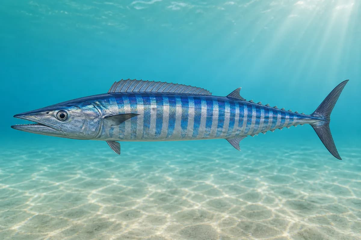
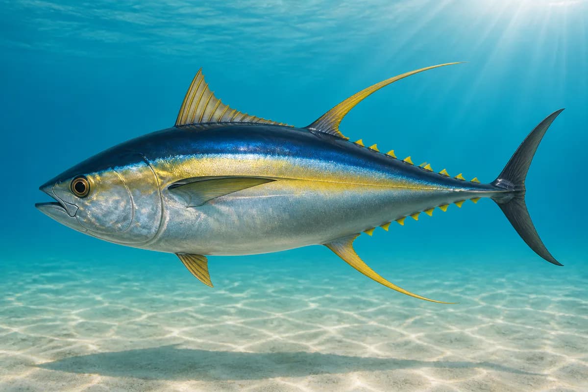
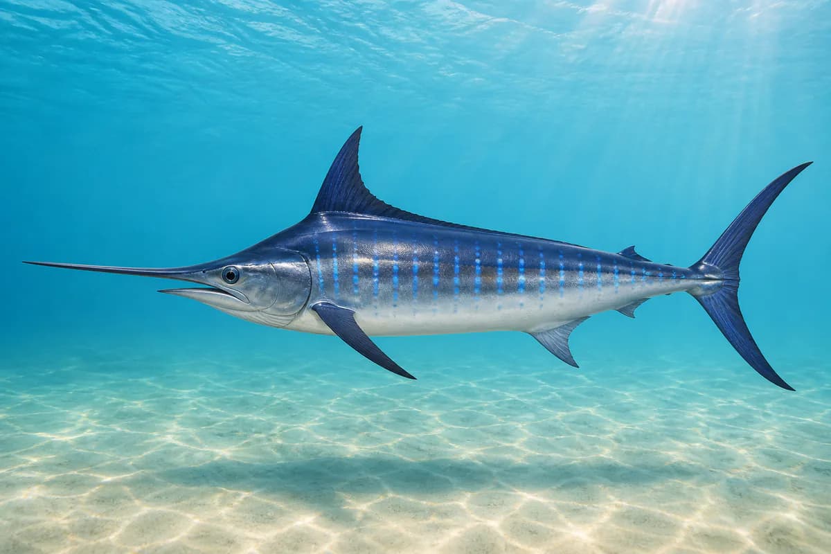
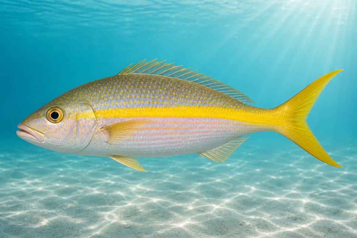
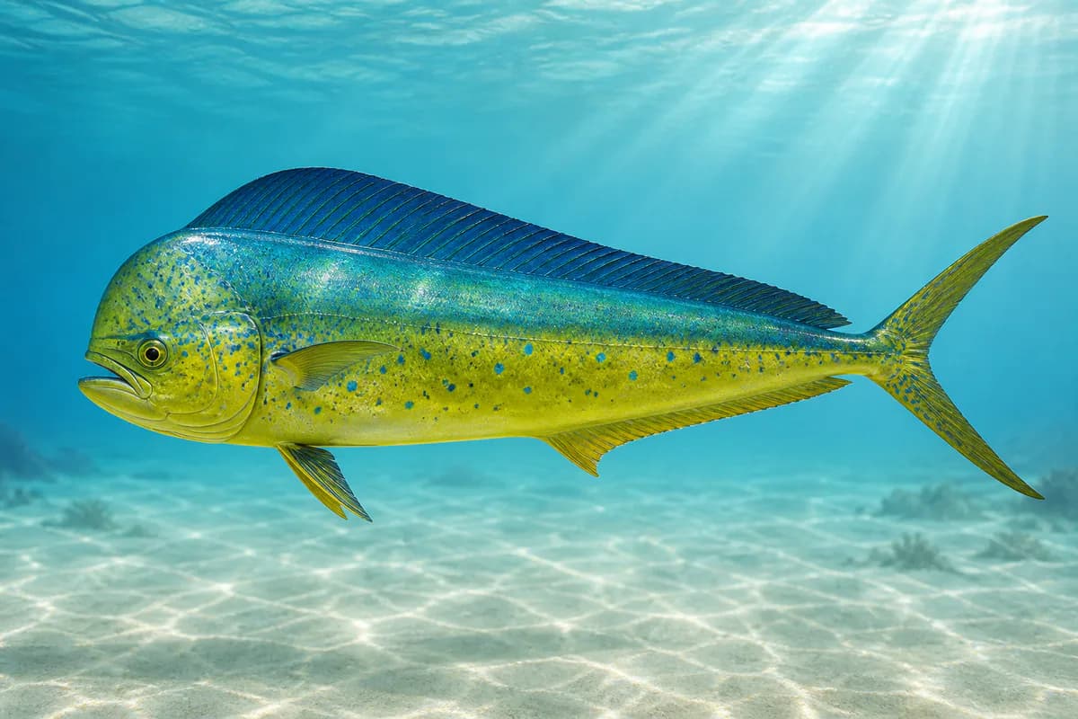
Mahi-mahi, wahoo, and blue marlin are documented pelagic overlays; destination month timing is not encoded on this harbor pin. Yellowtail snapper is year-round biological context. Exact legal seasons are not invented.

Species images are AI-generated illustrations for visual reference and may simplify natural variation. Fishery records are based on the cited agency and editorial sources. About fish illustrations

  • Mahi-mahi illustration

    Mahi-mahi

    Primary

    Coryphaena hippurus

    Also called Dorado

    No seasonal pulse known

    West nearshore pelagic. Occurrence is documented; destination month timing is not encoded as a legal season.

  • Wahoo illustration

    Wahoo

    Primary

    Acanthocybium solandri

    Also called Ono

    No seasonal pulse known

    West / Mona-context pelagic. Occurrence is documented; destination month timing is not encoded as a legal season.

  • Yellowfin tuna illustration

    Yellowfin tuna

    Primary

    Thunnus albacares

    Also called Ahi

    No seasonal pulse known

    West nearshore pelagic overlay. Year-round occurrence; destination month timing is not encoded as a legal season.

  • Pacific blue marlin illustration

    Blue marlin

    Secondary

    Makaira nigricans

    Also called Kajiki

    No seasonal pulse known

    Mona-context billfish overlay. Occurrence is documented; destination month timing is not encoded as a legal season.

  • Yellowtail snapper illustration

    Yellowtail snapper

    Secondary

    Ocyurus chrysurus

    Also called colirrubia

    No seasonal pulse known

    Harbor and nearshore reef. Year-round biological availability; legal closures are not biological cards.

Profile guidance — exact seasonal timing is not available for every target.

Access, Safety and Regulations

Access

Public harbor access. Confirm current DNER and federal Caribbean rules.

Primary hazards

Harbor traffic, heat, and west-coast swell. Missing waves are not calm.

Fishery considerations

  • Tide is NOAA 9759394 Mayagüez, at-location. Current is unsupported.
  • NWS point forecast.

Regulations

Size limits, seasons, and possession rules change. Verify the current official regulations before fishing.

Location and Access

Cataloged coastal fishing destination

Harbor · Puerto Rico

Loading map…

The map marker represents the cataloged waterbody or monitoring location and may not indicate legal parking or public access. Confirm access through the official information before visiting.

Data Sources

Planning limitation

Coastal conditions can vary over short distances. Predictions and remote observations are planning information, not guarantees of access or safety.

  • Pin is Mayagüez Harbor plus west nearshore / Mona context. This is not Rincón exposed shore and not Crashboat / Aguadilla.
  • Current axis is UNSUPPORTED. Missing current is not slack or zero. Do not infer current from tide.
  • Missing waves are not calm. Forecast/prediction is not observation.
  • Customer Current Coastal Rating publishes only when CARIBBEAN_PUERTO_RICO_COASTAL_RATING_BETA_ENABLED is true. Then it is PUBLIC_BETA_CALIBRATING and capped at Consider. Default-off remains fail-closed unavailable. CARIBBEAN_PUERTO_RICO_V1 is a candidate only. PATH1 remains unauthorized. Coastal Estimated is unauthorized. Physical readings are not a calibrated empirical rating.