La Parguera is a southwest Puerto Rico fishery built around mangroves, protected bays, shallow flats, reef patches, and channels leading toward the Caribbean. Tarpon and snook are major inshore targets, with permit adding another flats-and-reef-edge opportunity.
Current Coastal Rating
Good
Beta
Conditions are generally good for the evaluated window.
Should I Go?
Trip conditions only. Target-species activity and seasonal fishery patterns are not yet included.
Do Not Go
Safety gate
This destination requires daylight for the evaluated window.
See the active alert cards above for official details.
Evaluates trip conditions using weather, tides, currents, waves, daylight, and active alerts.
Service Status
Degraded
Coastal conditions are partial, stale, or predictions-only.
Why
This destination requires daylight for the evaluated window.
Current Readings
Updated Oct 20, 2026, 5:56 AM
NOAA Station
NOAA Station selected
No sufficiently recent observations are available for this source.
Past 7 Days
NOAA Station
NOAA Station selected
Water level
Window Oct 13, 2026, 5:56 AM – Oct 20, 2026, 5:56 AM (rolling 168 hours)
Water level over the past 7 days. 869 observations · from Oct 13, 2026, 7:36 AM · to Oct 19, 2026, 9:06 PM Range 0.3 ft MLLW to 1.4 ft MLLW.
Readings decreased over the available period.
869 observations · from Oct 13, 2026, 7:36 AM · to Oct 19, 2026, 9:06 PM
Tidal-current predictions are not available for this destination.
Tidal-current timing can differ from high and low tide timing.
Fishery Profile
Fishery Overview
La Parguera protected flats, mangrove, and reef fishery
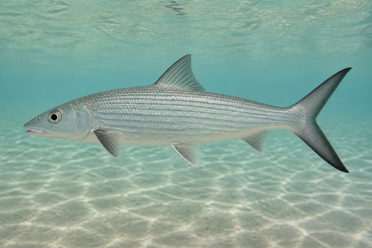
A protected southwest Puerto Rico flats, mangrove, and reef fishery. Bonefish, permit, tarpon, and snook are the inshore. Snapper legal windows follow the current regulations.
Static seasonal guidance · Last reviewed Sep 1, 2026
Not a live bite forecast.
Fishery Targets
Bonefish, permit, tarpon, snook, and yellowtail snapper are year-round biological context. Snapper/grouper legal windows are not the biological season.
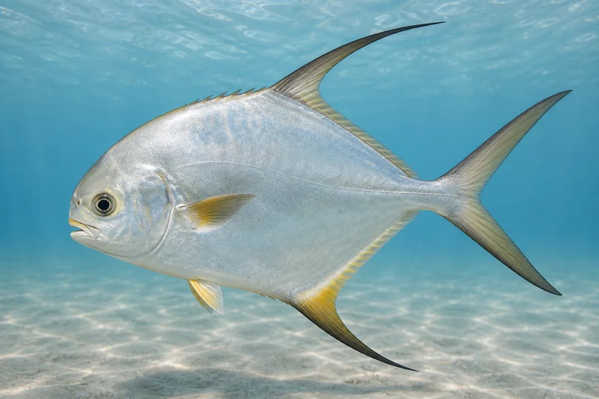
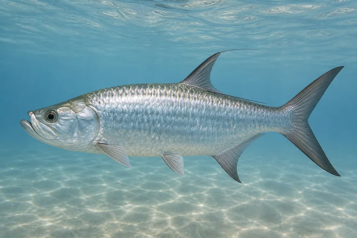
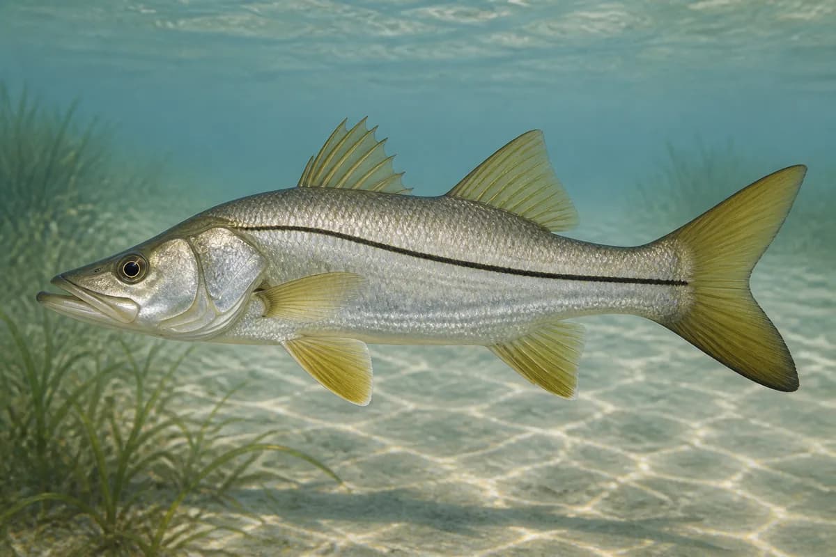
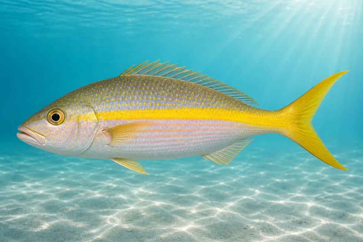
Species images are AI-generated illustrations for visual reference and may simplify natural variation. Fishery records are based on the cited agency and editorial sources. About fish illustrations
Bonefish
Primary
Albula vulpes
No seasonal pulse known
Year-round protected flats fishing. Harvest dates follow the current regulations.
Permit
Primary
Trachinotus falcatus
No seasonal pulse known
Year-round protected flats/reef fishing. Harvest dates follow the current regulations.
Tarpon
Primary
Megalops atlanticus
No seasonal pulse known
Year-round mangrove and channel fishing. Harvest dates follow the current regulations.
Common snook
Secondary
Centropomus undecimalis
No seasonal pulse known
Year-round mangrove edges. Harvest dates follow the current regulations.
Yellowtail snapper
Secondary
Ocyurus chrysurus
Also called colirrubia
No seasonal pulse known
Reef fishing. Year-round biological availability; legal closures are not the biological season.
Seasonal timing is not defined for every target.
Access, Safety and Regulations
Access
Public launch and shoreline access in the La Parguera area. Confirm current DNER and federal Caribbean rules, including any marine-reserve overlays.
Primary hazards
Shallow-water navigation, heat, and thunderstorms. Missing waves are not calm.
Fishery considerations
Tide is NOAA 9759110 Magueyes. Current predictions are not available here.
NWS point forecast.
Regulations
Size limits, seasons, and possession rules change. Verify the current official regulations before fishing.
The map marker represents the cataloged waterbody or monitoring location and may not indicate legal parking or public access. Confirm access through the official information before visiting.