Matagorda Bay Entrance / Port O'Connor is a mid-Texas Coast pass fishery connecting bay, jetties, and Gulf water around the Matagorda Ship Channel. Red drum, spotted seatrout, southern flounder, and sheepshead are the principal supported targets.
Current Coastal Rating
Good · 76
Beta
Conditions are good, but confidence is reduced because some coastal inputs are partial or prediction-based.
Scores are model-specific and are not directly comparable across water types.
Should I Go?
Trip conditions only. Target-species activity and seasonal fishery patterns are not yet included.
Consider
Trip conditions may be workable, but important cautions or data limitations remain.
High confidence in the evaluated inputs — observational coverage is partial. — Required data sources were available and the key inputs were current.
Evaluates trip conditions using weather, tides, currents, waves, daylight, and active alerts.
This coastal rating is in public beta.
Missing waves are not calm. Forecast is not an observation. Prediction is not an observation.
Because this rating is in public beta, recommendations are capped at Consider when evidence is limited.
Service Status
Degraded
Coastal conditions are partial, stale, or predictions-only.
Recommended window
Tuesday · 10:00 AM–1:00 PM CDT
Window score
81
Max wind
16 mph
Max gust
20 mph
Daylight
100% of window
Tide state
falling
Max current
1.6 kn
Why
Strong daylight coverage supports the evaluated window.
Current Readings
Updated Oct 20, 2026, 7:57 AM
NOAA Station
NOAA Station selected
Source
NOAA CO-OPS
Matagorda Bay Entrance Channel station
0.0 mi from destination
Water level
2.2 ft MLLW
Updated 9 min ago
Water temperature
77°F
Updated 9 min ago
Wind
NE · 12 mph
Updated 9 min ago
Wind gust
15 mph
Updated 9 min ago
Past 7 Days
NOAA Station
NOAA Station selected
Water level
Window Oct 13, 2026, 7:57 AM – Oct 20, 2026, 7:57 AM (rolling 168 hours)
Water level over the past 7 days. 1679 observations · from Oct 13, 2026, 8:00 AM · to Oct 20, 2026, 7:48 AM Range 0.4 ft MLLW to 2.6 ft MLLW.
Readings increased over the available period.
1679 observations · from Oct 13, 2026, 8:00 AM · to Oct 20, 2026, 7:48 AM
NOAA CO-OPS · Matagorda Bay Entrance Channel · Station 8773767
These values are tidal-current predictions, not real-time observed currents. They describe conditions near this prediction station rather than the entire surrounding coastal area.
Tidal-current timing can differ from high and low tide timing.
Fishery Profile
Fishery Overview
Matagorda Bay Entrance / Port O'Connor jetty fishery
A Mid Texas Coast pass fishery at the Matagorda Ship Channel entrance near Port O'Connor. Deep water along isolated granite jetties concentrates red drum, spotted seatrout, sheepshead, and southern flounder moving between Matagorda Bay and the Gulf. This is the entrance / Port O'Connor area.
Fishery type
Jetty pass ship channel
Fishing modes
Inshore boat
Habitat and structure
Matagorda Ship Channel entrance jetties · Deep channel between Matagorda Bay and the Gulf · Current rips, rock toes, and bottom breaks along isolated granite
Static seasonal guidance · Last reviewed Aug 15, 2026
Not a live bite forecast.
Fishery Targets
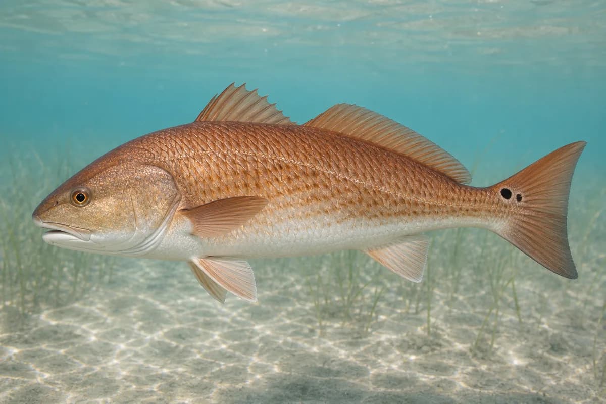
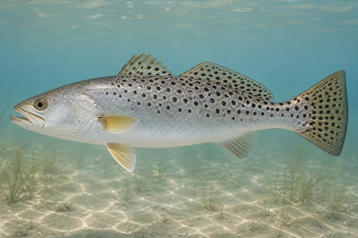
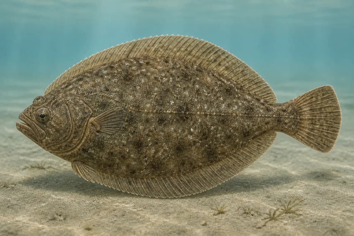
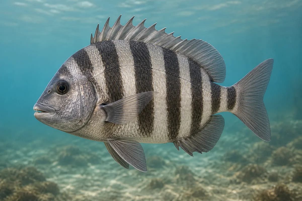
Red drum, spotted seatrout, and sheepshead are entrance-jetty targets. They occur here, but they are not typical every month. Southern flounder typically use channels and passes during fall emigration toward Gulf spawning, generally October through December per TPWD; that is not year-round occupancy at this Gulf entrance and is not a legal harvest season.
Species images are AI-generated illustrations for visual reference and may simplify natural variation. Fishery records are based on the cited agency and editorial sources. About fish illustrations
Red drum
Primary
Sciaenops ocellatus
Also called Redfish
No seasonal pulse known
These fish use the jetty and the pass.red drum is not typical every month.
Spotted seatrout
Primary
Cynoscion nebulosus
No seasonal pulse known
These fish use the jetty and the pass. spotted seatrout is not typical every month.
Southern flounder
Secondary
Paralichthys lethostigma
Currently in a typical seasonal window
Typical seasonal window: OCTOBER — DECEMBER
TPWD: fall emigration through channels and passes toward Gulf spawning, typically October to December. Spring return and spring/summer fishing are described farther inside bay systems.
Sheepshead
Secondary
Archosargus probatocephalus
No seasonal pulse known
Sheepshead use the jetty structure and are not typical every month.
Typical Seasonal Targets
Southern flounder — OCTOBER — DECEMBER
Seasonal presence is general guidance and does not indicate current fish activity.
How to Fish Matagorda Bay Entrance / Port O'Connor
Typical October approaches include bottom and structure presentations for Southern flounder.
Bottom and structure presentations
Hold bait or jigs near deep jetty rock for sheepshead and southern flounder.
Best for
Southern flounder
Modes
Inshore boat
Setup
Matagorda entrance bottom setup
Common Tackle Setups
Matagorda entrance bottom setup
Stouter boat tackle to hold bottom in deeper jetty current.
Rod
Medium-heavy rod for current and rock.
Reel
Reel with a solid drag.
Main line
Abrasion-resistant braid.
Leader
Shorter heavy leader for barnacles.
Terminal tackle
Jig heads or sinkers heavy enough for deeper channel current.; Hooks suited to shrimp around structure.
Presentation
Keep baits near rock holes and eddies without feeding gear into granite.
Used for
Bottom and structure presentations
Typical October Lures and Flies
Common lure and fly families associated with this month’s techniques.
Hop, swim, or drift depending on depth and current speed
Soft-plastic jig head
Lure
Southern flounder
Midwater, Bottom, Variable · Jig, slow, drift
Keep intermittent bottom contact around structure and soft edges
General seasonal guidance, not a live recommendation, product endorsement, or guarantee of success.
Access, Safety and Regulations
Access
The Gulf entrance jetties are isolated from Port O'Connor town and are typically reached by boat via the Matagorda Ship Channel. Public walk-up jetty access is not listed. Launch from Port O'Connor public ramps and confirm current navigation, ramp, and Corps postings.
Primary hazards
Deep water, strong current, commercial traffic, and remote granite are the primary hazards. Do not pull an anchor near the rocks without the engine running. Help is farther away than at town jetties. Heat, lightning, and wakes are routine.
Fishery considerations
Tidal current through the Matagorda Bay entrance channel is the local fishing context. NOAA interval predictions for the entrance channel describe that exchange; use them as timing for the pass.
The entrance is exposed. Wind against current can make boat control along granite unsafe. A local wave reading is not available here.
Regulations
Size limits, seasons, and possession rules change. Verify the current official regulations before fishing.
The map marker represents the cataloged waterbody or monitoring location and may not indicate legal parking or public access. Confirm access through the official information before visiting.