Lake Worth Pier is a southeast Florida ocean-pier fishery extending from the Palm Beach County shoreline into Atlantic nearshore water. Pompano, Spanish mackerel, and snook are principal targets, with the pier providing access to both surf-zone and passing coastal species.
Active coastal or marine alerts
Small Craft Advisory
Severity: Minor
Small Craft Advisory issued October 20 at 2:28AM EDT until October 21 at 8:00PM EDT by NWS Miami FL
Begins Oct 20, 2026, 2:28 AM · Ends Oct 21, 2026, 8:00 PM
Inexperienced mariners, especially those operating smaller vessels, should avoid navigating in hazardous conditions.
These values are tidal-current predictions, not real-time observed currents. They describe conditions near this prediction station rather than the entire surrounding coastal area.
Data coverage
This station provides max-current and slack-water events, but not a continuous current-speed timeline.
Tidal-current timing can differ from high and low tide timing.
Fishery Profile
Fishery Overview
Lake Worth Pier Atlantic pier fishery
A southeast Florida Atlantic Ocean pier fishery at the City of Lake Worth Beach's William O. Lockhart Municipal Pier. Anglers fish from the pier deck into nearshore Atlantic water for Florida pompano, Spanish mackerel, snook, and sheepshead.
Fishery type
Atlantic ocean pier
Fishing modes
Shore
Habitat and structure
William O. Lockhart Municipal Pier deck and pilings in the Atlantic · Nearshore sand troughs and bars off Lake Worth Beach · Pier lights and shade lines that hold bait against the pilings
Static seasonal guidance · Last reviewed Aug 15, 2026
Not a live bite forecast.
Fishery Targets
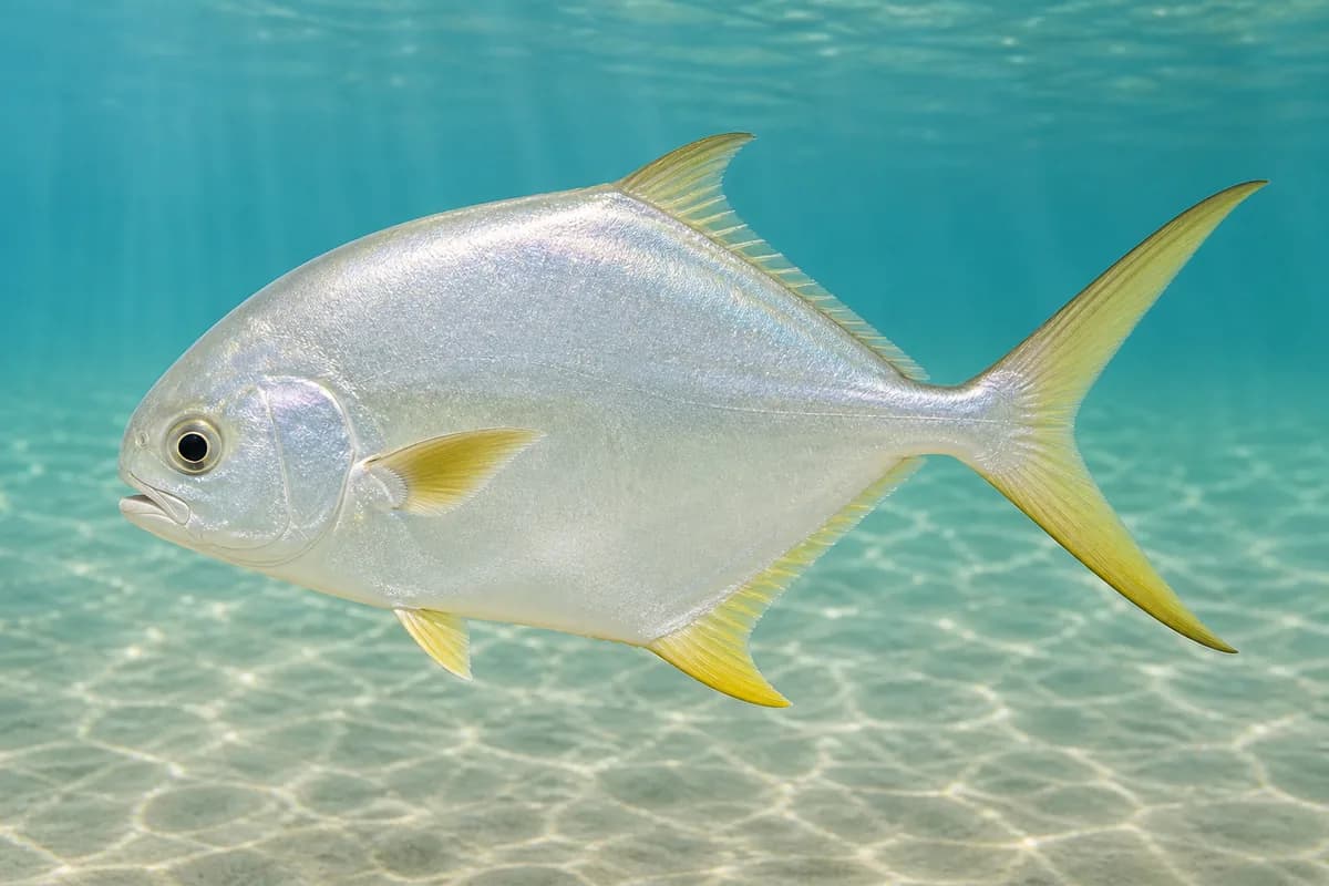
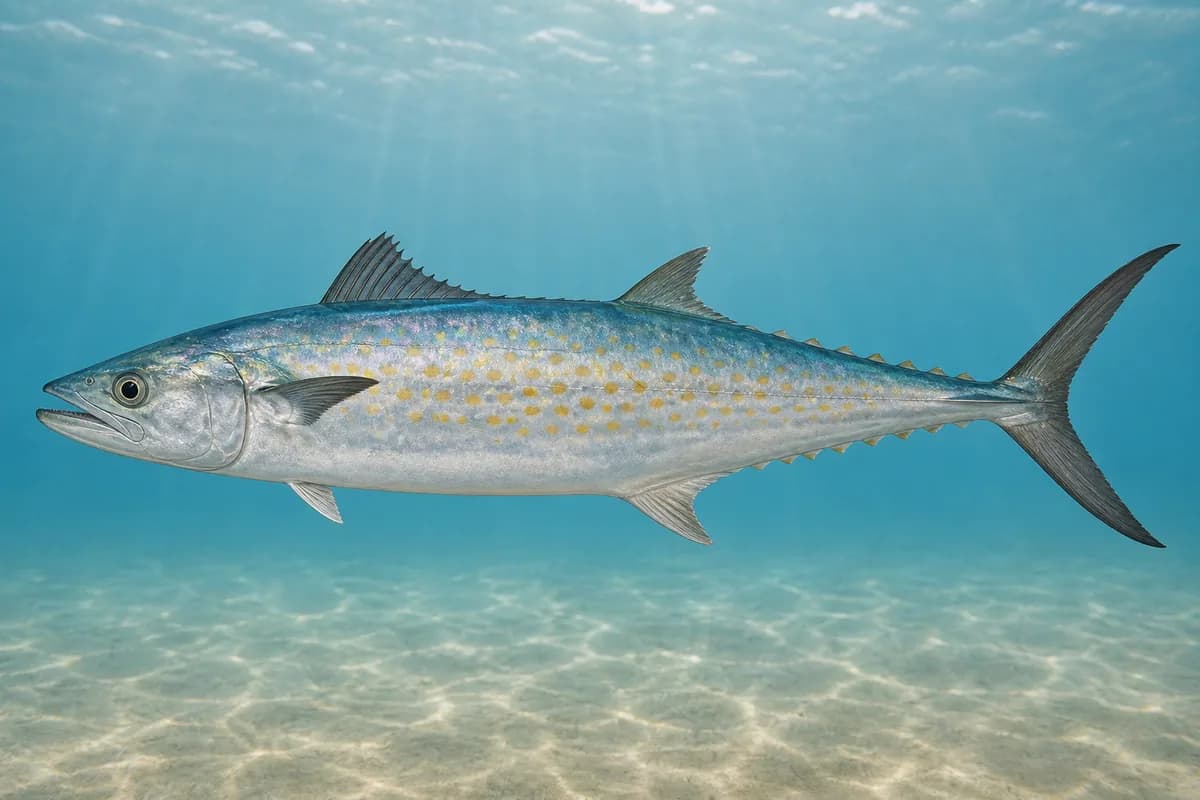
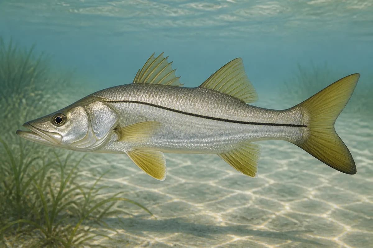
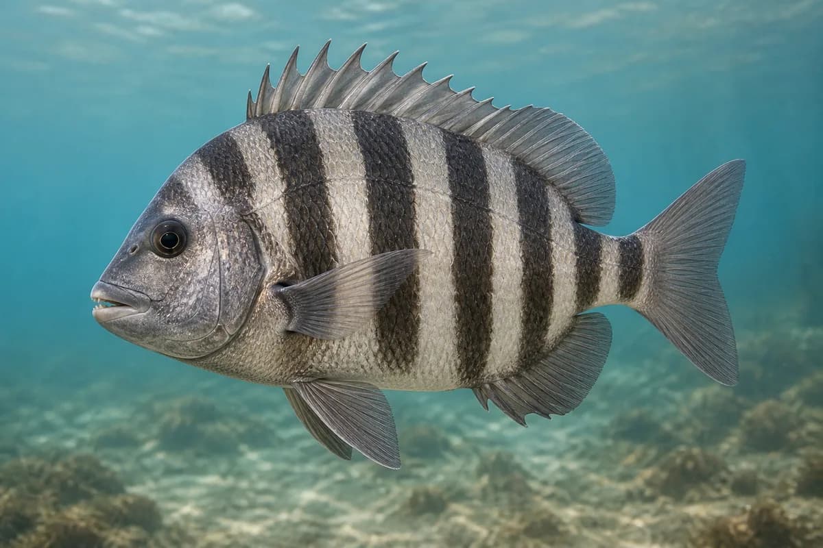
Florida pompano, Spanish mackerel, snook, and sheepshead are the pier-class targets supported for Lake Worth Beach's ocean pier. Listed species are not typical every month. Seasonal notes describe typical presence.
Species images are AI-generated illustrations for visual reference and may simplify natural variation. Fishery records are based on the cited agency and editorial sources. About fish illustrations
Florida pompano
Primary
Trachinotus carolinus
No seasonal pulse known
FWC: inshore and nearshore, especially along sandy beaches. Beach-pier class is the destination habitat.
Spanish mackerel
Primary
Scomberomorus maculatus
Typical seasonal window begins in December
Typical seasonal window: DECEMBER — MARCH
FWC: prevalent throughout Florida nearshore waters; absent from north Florida in winter.
Common snook
Secondary
Centropomus undecimalis
No seasonal pulse known
FWC tagged snook at Lake Worth inlets in the species sketch; the municipal ocean pier is adjacent coastal structure. Role is secondary. Harvest dates follow the current regulations.
Sheepshead
Secondary
Archosargus probatocephalus
No seasonal pulse known
FWC: coastal structure such as seawalls and pilings. Pier pilings are the structure here.
Typical Seasonal Targets
Spanish mackerel — DECEMBER — MARCH
Seasonal presence is general guidance and does not indicate current fish activity.
How to Fish Lake Worth Pier
No profile-based seasonal technique guidance is listed for October.
Preparing for upcoming seasonal targets
Pier surf and baitfish casting
Cast compact metals and swimming baits from the pier for Spanish mackerel and pompano working the beach troughs.
Best for
Spanish mackerel
Setup
Lake Worth Pier metal setup
Common Tackle Setups
Lake Worth Pier metal setup
Pier spinning tackle for Spanish mackerel and pompano.
Rod
Medium spinning rod that loads a compact metal or light jig.
Reel
Fast retrieve spinning reel.
Main line
Light braid for casting distance from the pier.
Leader
Heavy mono or light wire when mackerel are cutting leaders.
Terminal tackle
Compact casting metals.; Light jig heads.
Presentation
FWC: Spanish mackerel are aggressive on small shiny spoons and jigs.
Hop, swim, or drift depending on depth and current speed
Diamond-style jig
Lure
Spanish mackerel
Midwater to variable · Jig, fast, steady
Cast and retrieve with a steady or pulsed cadence through bait schools
Compact casting metal
Lure
Spanish mackerel
Shallow to midwater · Fast, steady
Lead showing fish and keep a fast, even retrieve
General seasonal guidance, not a live recommendation, product endorsement, or guarantee of success.
Access, Safety and Regulations
Access
The William O. Lockhart Municipal Pier is a City of Lake Worth Beach facility. The city's Leisure Services page describes the 960-foot pier as a land-based fishing spot with bait and rod rentals; city notices list daily hours (6 a.m. To midnight when open) and weather closures. Confirm current pier status, pier-pass, and beach parking rules on the city site before you go. Bryant Park's Intracoastal pier and boat ramp are not this destination.
Primary hazards
Pier deck, lightning, and high surf are the primary hazards. The city has closed the pier for wind and swell; A static profile is not a go/no-go. Heat and crowded rail space are routine.
Fishery considerations
Atlantic tide and surge around the pier set bait position in the troughs.
Onshore swell and wind can close the pier. A local wave reading is not available here.
Regulations
Size limits, seasons, and possession rules change. Verify the current official regulations before fishing.
The map marker represents the cataloged waterbody or monitoring location and may not indicate legal parking or public access. Confirm access through the official information before visiting.