Government Cut / Miami Harbor Entrance is a deep southeast Florida inlet fishery where Miami's ship channel meets Atlantic reef-edge and nearshore water. Common snook, atlantic tarpon, jack crevalle, and spanish mackerel are the principal supported targets.
Active coastal or marine alerts
Small Craft Advisory
Severity: Minor
Small Craft Advisory issued October 20 at 2:28AM EDT until October 21 at 8:00PM EDT by NWS Miami FL
Begins Oct 20, 2026, 2:28 AM · Ends Oct 21, 2026, 8:00 PM
Inexperienced mariners, especially those operating smaller vessels, should avoid navigating in hazardous conditions.
These values are tidal-current predictions, not real-time observed currents. They describe conditions near this prediction station rather than the entire surrounding coastal area.
Data coverage
This station provides max-current and slack-water events, but not a continuous current-speed timeline.
Tidal-current timing can differ from high and low tide timing.
Fishery Profile
Fishery Overview
Government Cut / Miami Harbor Entrance shore fishery
A southeast Florida harbor-entrance shore fishery at Government Cut. South Pointe Park and its pier sit on the Miami Beach side of the deep PortMiami shipping channel, where snook, tarpon, and jacks use the cut's current and walls.
Fishery type
Harbor entrance
Pier
Channel
Fishing modes
Shore
Habitat and structure
South Pointe Park pier over Government Cut · Deep PortMiami shipping channel between Miami Beach and Fisher Island · Channel walls, current seams, and the Atlantic mouth of the cut
Static seasonal guidance · Last reviewed Aug 15, 2026
Not a live bite forecast.
Fishery Targets
Snook, tarpon, jack crevalle, and Spanish mackerel are Government Cut / South Pointe targets. Listed species are not typical every month. FWC notes tarpon concentrate in South Florida in winter and Spanish mackerel leave north Florida in winter; those statements do not assign exact months. FWC harvest seasons are not a legal harvest season substitute for biology. Seasonal notes describe typical presence.
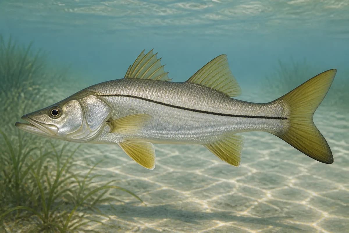
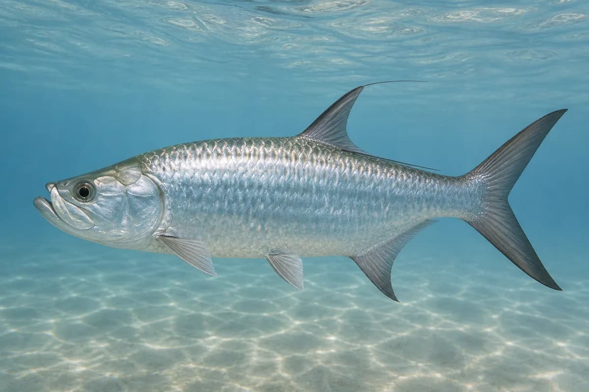
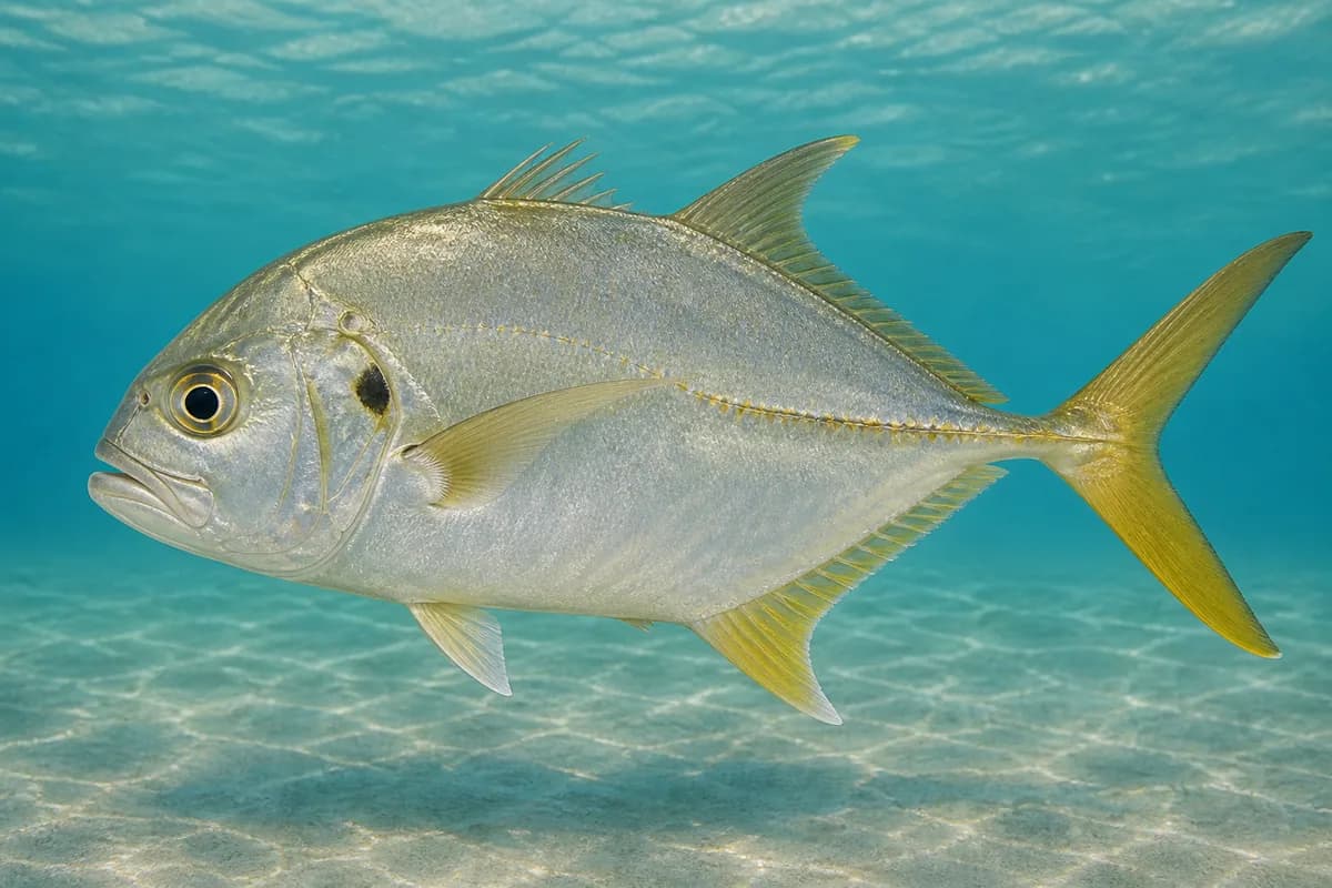
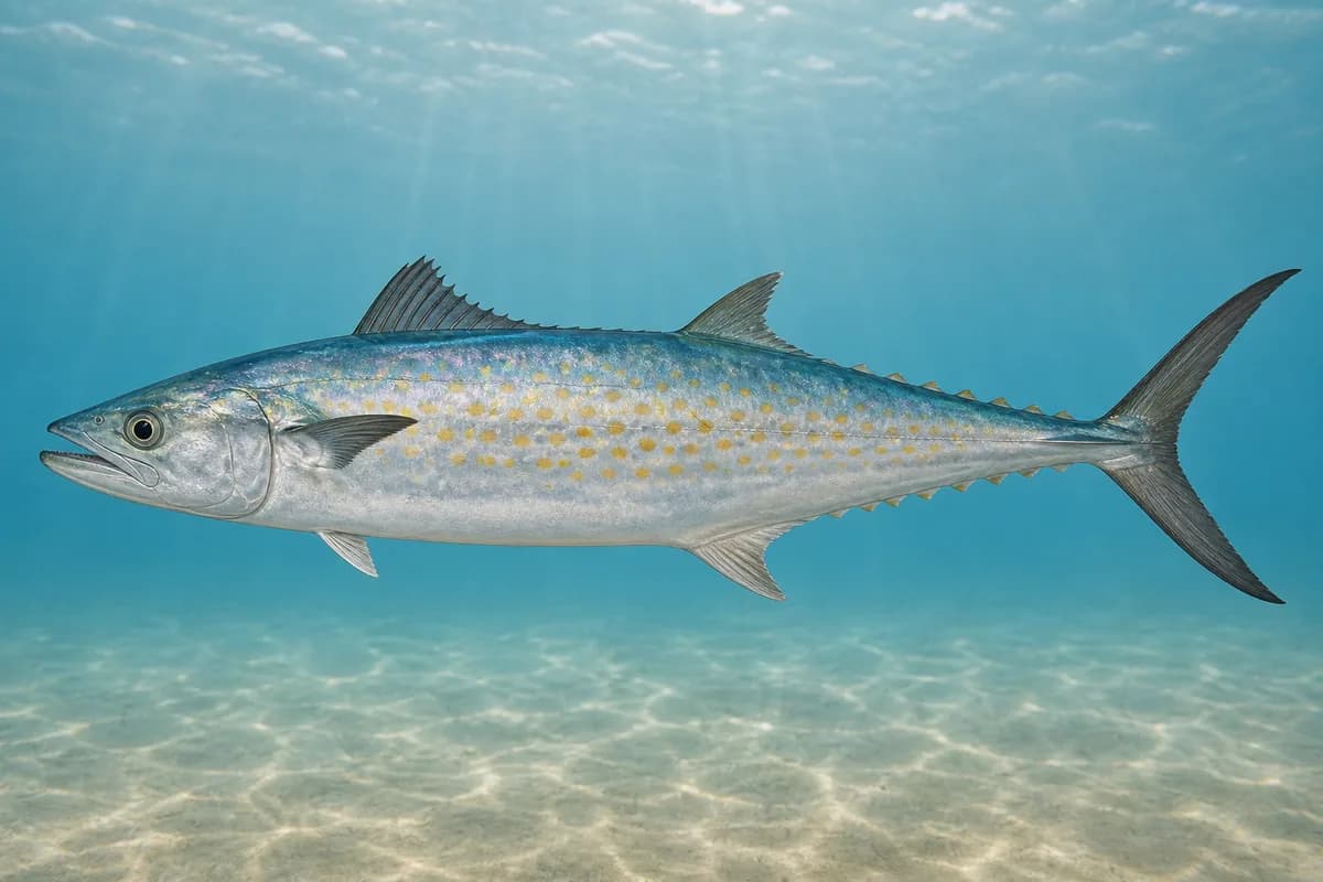
Species images are AI-generated illustrations for visual reference and may simplify natural variation. Fishery records are based on the cited agency and editorial sources. About fish illustrations
Common snook
Primary
Centropomus undecimalis
No seasonal pulse known
Miami-Dade is well south of FWC's Cape Canaveral Atlantic abundance boundary. Channel walls and the park pier are the relevant habitat. Harvest seasons are separate from when the fish are present.
Atlantic tarpon
Primary
Megalops atlanticus
No seasonal pulse known
FWC: tarpon are found throughout Florida's coastal waters in summer and concentrate in South Florida in winter. Tarpon use the harbor and the channel structure.
Jack crevalle
Secondary
Caranx hippos
No seasonal pulse known
Channel and harbor-entrance jack fishery. Jacks use this cut.
Spanish mackerel
Secondary
Scomberomorus maculatus
Typical seasonal window begins in December
Typical seasonal window: DECEMBER — MARCH
FWC: prevalent in Florida nearshore waters and absent from north Florida in winter.
Typical Seasonal Targets
Spanish mackerel — DECEMBER — MARCH
Seasonal presence is general guidance and does not indicate current fish activity.
How to Fish Government Cut / Miami Harbor Entrance
No profile-based seasonal technique guidance is listed for October.
Preparing for upcoming seasonal targets
Fast metal retrieve
Cast compact metals when Spanish mackerel or jacks are pushing bait in the cut.
Best for
Spanish mackerel
Setup
Government Cut metal setup
Common Tackle Setups
Government Cut metal setup
Compact metals for Spanish mackerel and jacks from the pier.
Rod
Medium spinning rod that loads a compact metal.
Reel
Fast retrieve spinning reel.
Main line
Light braid for casting distance.
Leader
Heavy mono or wire when mackerel are cutting leaders.
Terminal tackle
Compact casting metals.; Fast clips.
Presentation
Keep a fast retrieve when bait is on the surface.
Used for
Fast metal retrieve
Typical October Lures and Flies
Coming into the seasonal mix
Diamond-style jig
Lure
Spanish mackerel
Midwater to variable · Jig, fast, steady
Cast and retrieve with a steady or pulsed cadence through bait schools
Compact casting metal
Lure
Spanish mackerel
Shallow to midwater · Fast, steady
Lead showing fish and keep a fast, even retrieve
General seasonal guidance, not a live recommendation, product endorsement, or guarantee of success.
Access, Safety and Regulations
Access
Public shore fishing is the South Pointe Park pier at 1 Washington Avenue, Miami Beach. The City of Miami Beach lists sunrise-to-sunset park hours, paid parking, restrooms, and beach access. Fishing from the park is the pier. Confirm current park hours and pier postings. This destination does not advertise boat fishing in the PortMiami shipping channel as a customer mode.
Primary hazards
Government Cut is a working cruise-ship and commercial channel. Stay on the pier, watch displacement wakes, and do not enter the channel. The City of Miami Beach prohibits land-based shark fishing from shoreline, docks, bridges, and similar structures. Lightning and heat are routine southeast Florida risks.
Fishery considerations
Current in Government Cut is the dominant fishing context.
Wind against ebb or flood can stack the cut. A local wave reading is not available here.
Regulations
Size limits, seasons, and possession rules change. Verify the current official regulations before fishing.
The map marker represents the cataloged waterbody or monitoring location and may not indicate legal parking or public access. Confirm access through the official information before visiting.