Jennette's Pier is an Outer Banks ocean-pier fishery extending into open Atlantic water off Nags Head. Red drum, spotted seatrout, spanish mackerel, and bluefish are the principal supported targets.
Active coastal or marine alerts
Gale Warning
Severity: Moderate
Gale Warning issued October 20 at 3:00AM EDT until October 21 at 11:00PM EDT by NWS Newport/Morehead City NC
Begins Oct 20, 2026, 3:00 AM · Ends Oct 21, 2026, 11:00 PM
Mariners should alter plans to avoid these hazardous conditions. Remain in port, seek safe harbor, alter course, and/or secure the vessel for hazardous conditions.
Tidal-current predictions are not available for this destination.
Tidal-current timing can differ from high and low tide timing.
Fishery Profile
Fishery Overview
Jennette's Pier Atlantic fishery
A Nags Head Atlantic ocean fishing pier at Jennette's Pier, operated with North Carolina Aquarium programming.
Fishery type
Ocean pier surf
Fishing modes
Shore
Habitat and structure
Jennette's Pier deck and pilings · Adjacent Nags Head Atlantic wash
Static seasonal guidance · Last reviewed Aug 23, 2026
Not a live bite forecast.
Fishery Targets
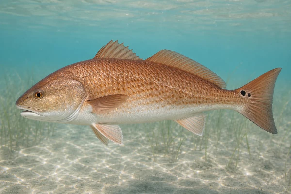
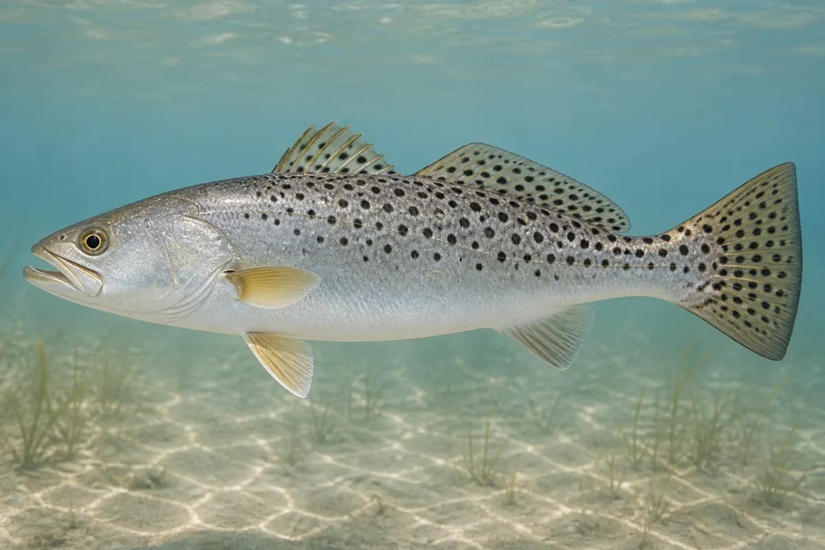
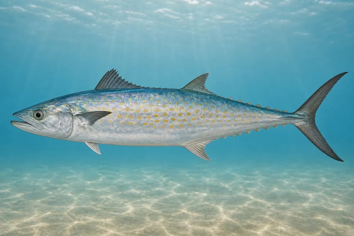
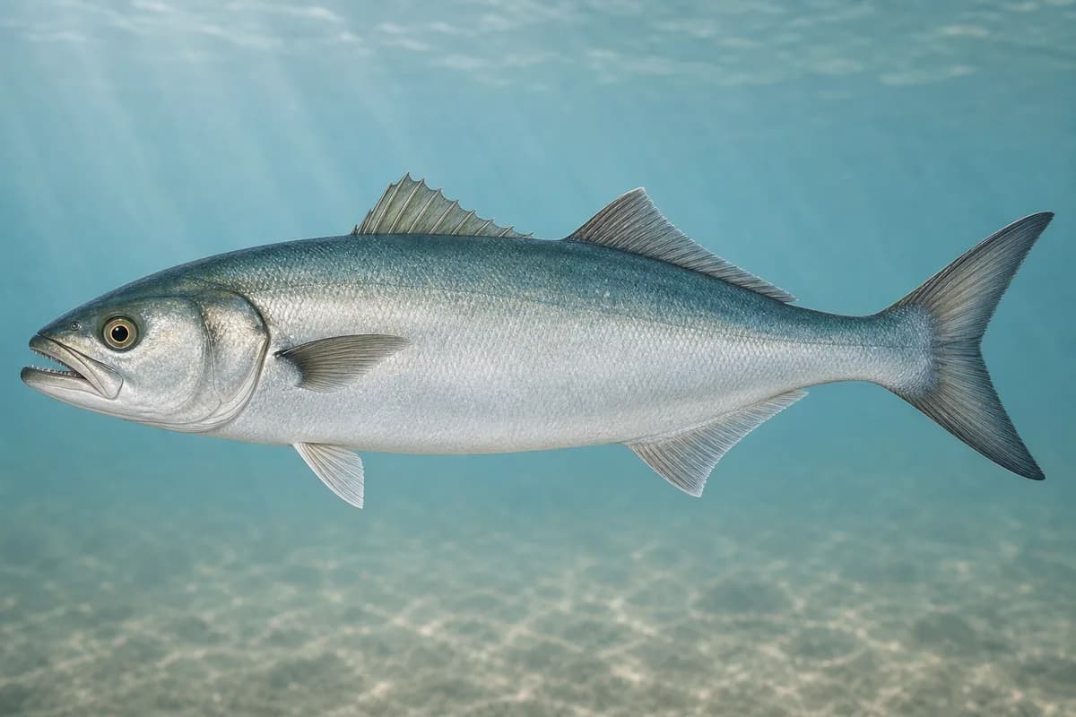
Red drum, spotted seatrout, Spanish mackerel, and bluefish are representative Nags Head pier targets. Seasonal timing varies by species.
Species images are AI-generated illustrations for visual reference and may simplify natural variation. Fishery records are based on the cited agency and editorial sources. About fish illustrations
Red drum
Primary
Sciaenops ocellatus
Also called Redfish
Typical seasonal opportunity: SPRING AND FALL
May also be present outside this peak window.
North Carolina surf and pier fishing.
Spotted seatrout
Primary
Cynoscion nebulosus
No seasonal pulse known
Surf, creek-mouth, and nearshore fishing.
Spanish mackerel
Secondary
Scomberomorus maculatus
Typical seasonal opportunity: SPRING — FALL
Warm-season pier and surf fishing.
Bluefish
Secondary
Pomatomus saltatrix
No seasonal pulse known
Coastal migratory fishing.
Typical Seasonal Targets
Red drum — SPRING AND FALL
Spanish mackerel — SPRING — FALL
Seasonal presence is general guidance and does not indicate current fish activity.
Access, Safety and Regulations
Access
Public fishing pier at 7223 S Virginia Dare Trail, Nags Head. Confirm pier hours, fees, and aquarium/pier rules.
Primary hazards
Ocean swell and pier spray. Missing waves are not calm.
Fishery considerations
Onshore wind steepens the wash. Missing waves are not calm. Forecast is not an observation.
Regulations
Size limits, seasons, and possession rules change. Verify the current official regulations before fishing.
The map marker represents the cataloged waterbody or monitoring location and may not indicate legal parking or public access. Confirm access through the official information before visiting.