Indian River Inlet is a Delaware jetty fishery where strong tidal flow connects Indian River Bay with the Atlantic through a narrow armored entrance. Striped bass, bluefish, summer flounder, and tautog are principal targets around the jetties, channel edges, and adjoining beach water.
Active coastal or marine alerts
Gale Warning
Severity: Moderate
Gale Warning issued October 20 at 2:57AM EDT until October 21 at 6:00PM EDT by NWS Mount Holly NJ
Begins Oct 20, 2026, 2:57 AM · Ends Oct 21, 2026, 6:00 PM
Mariners should alter plans to avoid these hazardous conditions. Remain in port, seek safe harbor, alter course, and/or secure the vessel for hazardous conditions.
New Jersey · Delaware Bay / Southern New Jersey · Canal
Approximately 25.4 miles away
Predicted Tides
Predicted
Falling
Next low tide
Oct 20, 2026, 9:59 AM
In 2 hr 21 min
0.8 ft MLLW
Previous
High · Oct 20, 2026, 4:18 AM · 2.3 ft MLLW
Following
High · Oct 20, 2026, 4:53 PM · 2.8 ft MLLW
Tide station at destination
Indian River Inlet · NOAA 8558690
Predicted Tidal Current
Predicted
Tidal-current predictions are not available for this destination.
Tidal-current timing can differ from high and low tide timing.
Fishery Profile
Fishery Overview
Indian River Inlet jetty and pass fishery
A Delaware Atlantic inlet fishery at Indian River Inlet inside Delaware Seashore State Park. Stone jetties, inlet banks, and the pass concentrate striped bass, summer flounder, tautog, and bluefish moving between the Inland Bays and the Atlantic.
Fishery type
Jetty inlet pass
Fishing modes
Shore
Inshore boat
Habitat and structure
North and south USACE stone jetties at Indian River Inlet · Deep Atlantic inlet between Delaware Seashore State Park shores · Current seams, granite toes, and Inland Bays exchange inside the pass
Static seasonal guidance · Last reviewed Aug 16, 2026
Not a live bite forecast.
Fishery Targets
Anglers target striped bass from the Indian River Inlet south jetty. Summer flounder, tautog, and bluefish are also part of this coastal Delaware fishery. Listed species are not typical every month. Check the current harvest rules before you keep fish.
This reflects typical biological/fishery timing, not a legal open season. Check current regulations before fishing.
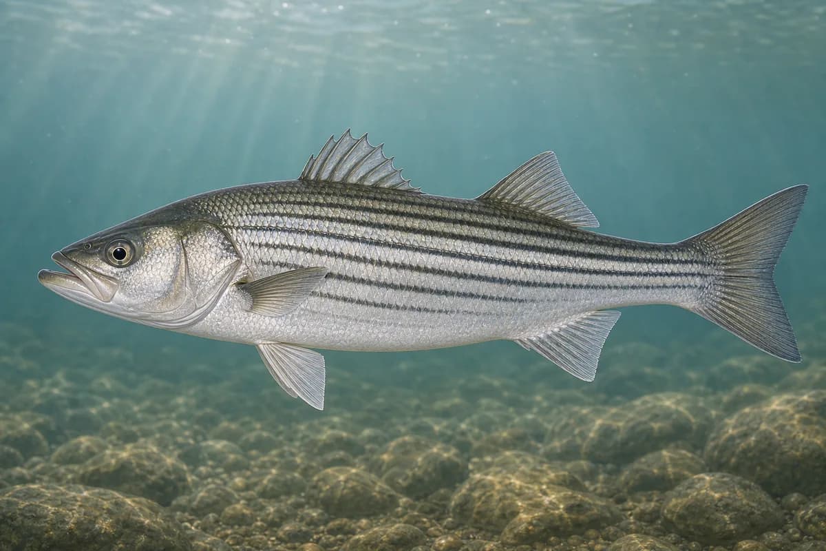
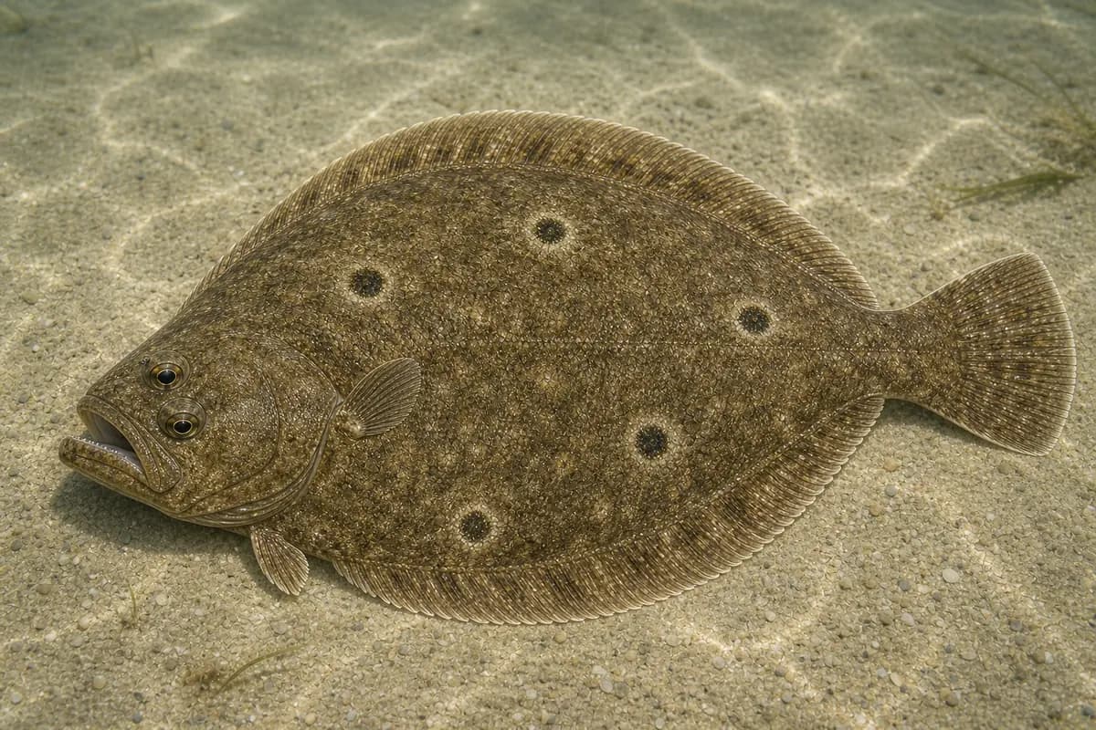
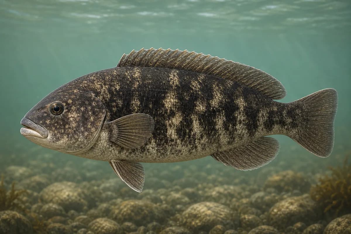
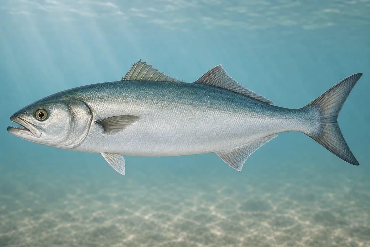
Species images are AI-generated illustrations for visual reference and may simplify natural variation. Fishery records are based on the cited agency and editorial sources. About fish illustrations
Striped bass
PrimaryRegulations vary annually
Morone saxatilis
Typical seasonal opportunity: SPRING AND FALL
Anglers fish striped bass from the Indian River Inlet south jetty. Harvest dates follow the current regulations.
Summer flounder
Primary
Paralichthys dentatus
No seasonal pulse known
Summer flounder use the channel and the sandy bottom beside the jetties.
Tautog
SecondaryRegulations vary annually
Tautoga onitis
Typical seasonal opportunity: SPRING AND FALL
Tautog use the inlet's rock structure, with stronger cool-water fishing.
Bluefish
Secondary
Pomatomus saltatrix
No seasonal pulse known
Bluefish move through the inlet and the adjacent surf seasonally.
Typical Seasonal Targets
Striped bass — SPRING AND FALL
Tautog — SPRING AND FALL
Seasonal presence is general guidance and does not indicate current fish activity.
Access, Safety and Regulations
Access
Public shore fishing is reached through Delaware Seashore State Park along the banks of Indian River Inlet. Delaware State Parks posts Indian River Marina (39415 Inlet Road, Rehoboth Beach) with a public boat ramp into Indian River Bay and ocean access via the inlet. A surf-fishing vehicle permit is required to drive on designated park beaches. DNREC and USACE operate the inlet sand-bypass system; confirm current jetty, beach, and construction postings before you go.
Primary hazards
Strong tidal current, slick granite, boat traffic in the pass, and sand-bypass or dredging closures are the primary hazards.
Fishery considerations
Tidal current through Indian River Inlet is the dominant fishing context. The mapped tide station is NOAA 8558690.
Wind against current can steepen the inlet. A local wave reading is not available here.
Regulations
Size limits, seasons, and possession rules change. Verify the current official regulations before fishing.
The map marker represents the cataloged waterbody or monitoring location and may not indicate legal parking or public access. Confirm access through the official information before visiting.