Hilo Bay is a windward Hawaii Island bay fishery with breakwaters, reef patches, river-influenced water, and protected harbor edges inside a broad Pacific-facing bay. Giant trevally and other reef-associated gamefish are principal nearshore targets, with the bay supporting a varied tropical inshore fishery.
Current Coastal Rating
Poor · 50
Beta
Conditions are poor, but confidence is reduced because some coastal inputs are partial or prediction-based.
Scores are model-specific and are not directly comparable across water types.
Should I Go?
Trip conditions only. Target-species activity and seasonal fishery patterns are not yet included.
Wait
Trip conditions may improve later. Review the recommended window and the reason for waiting.
High confidence in the evaluated inputs — observational coverage is partial. — Required data sources were available and the key inputs were current.
Evaluates trip conditions using weather, tides, currents, waves, daylight, and active alerts.
This coastal rating is in public beta.
Missing waves are not calm. Forecast is not an observation. Prediction is not an observation.
Because this rating is in public beta, recommendations are capped at Consider when evidence is limited.
Service Status
Degraded
Coastal conditions are partial, stale, or predictions-only.
Best later window
Tuesday · 8:00 AM–11:00 AM HST
Window score
75
Max wind
5 mph
Max gust
13 mph
Daylight
100% of window
Tide state
rising
Why
A later window scores 75 vs near-term 50; wait for the stronger period.
Current Readings
Updated Oct 19, 2026, 11:55 PM
NOAA Station selected
Source
NOAA CO-OPS
Hilo, Hilo Bay, Kuhio Bay station
0.0 mi from destination
Water level
1.7 ft MLLW
Updated 7 min ago
Wind
E · 4 mph
Updated 7 min ago
Wind gust
6 mph
Updated 7 min ago
Some observation sources are temporarily unavailable.
Past 7 Days
NOAA Station selected
Water level
Window Oct 12, 2026, 11:55 PM – Oct 19, 2026, 11:55 PM (rolling 168 hours)
Water level over the past 7 days. 1679 observations · from Oct 13, 2026, 12:00 AM · to Oct 19, 2026, 11:48 PM Range 0.4 ft MLLW to 2.9 ft MLLW.
Readings increased over the available period.
1679 observations · from Oct 13, 2026, 12:00 AM · to Oct 19, 2026, 11:48 PM
NOAA CO-OPS · Hilo, Hilo Bay, Kuhio Bay · Station 1617760
Hawaii · Hawaii Island lee dropoff west of Honokohau · Offshore
Approximately 69.4 miles away
Predicted Tides
Predicted
Near high tide
Next low tide
Oct 20, 2026, 4:31 AM
In 4 hr 36 min
0.7 ft MLLW
Previous
High · Oct 19, 2026, 11:19 PM · 1.2 ft MLLW
Following
High · Oct 20, 2026, 11:36 AM · 2.2 ft MLLW
Tide station at destination
Hilo, Hilo Bay, Kuhio Bay · NOAA 1617760
Predicted Tidal Current
Predicted
Tidal-current predictions are not available for this destination.
Tidal-current timing can differ from high and low tide timing.
Fishery Profile
Fishery Overview
Hilo Bay windward fishery
A windward Hawaii Island bay and harbor fishery at Hilo Bay / Kuhio Bay. Hilo readings do not describe Kona.
Fishery type
Windward bay harbor
Fishing modes
Shore
Inshore boat
Habitat and structure
Hilo Bay / Kuhio Bay public harbor and windward bay · Breakwater and bay edges · Not Kona lee dropoff and not Waiakea PFA
Static seasonal guidance · Last reviewed Sep 3, 2026
Not a live bite forecast.
Fishery Targets
Harbor jacks are year-round DAR-managed targets. Deep 7 is a legal overlay when applicable.
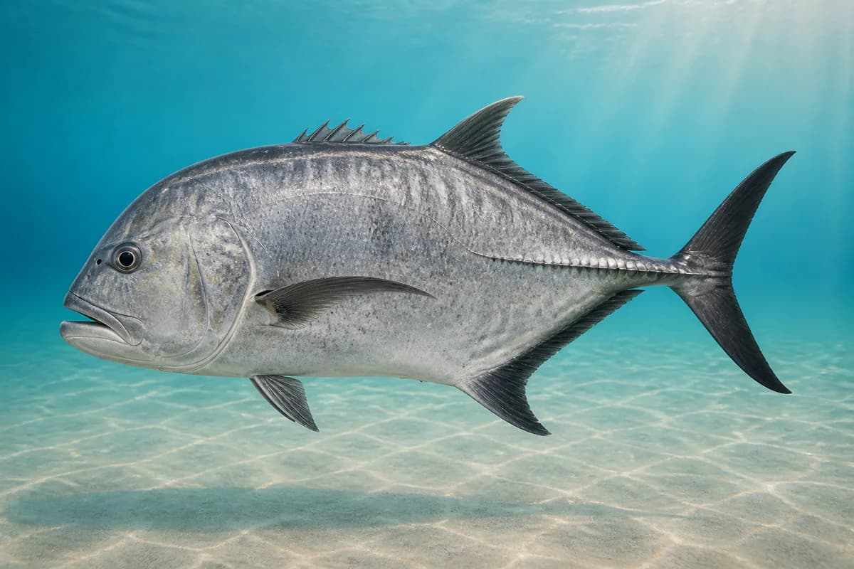
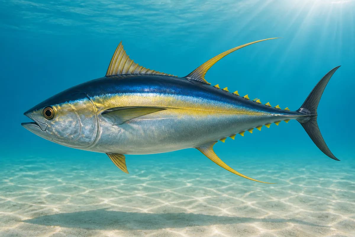
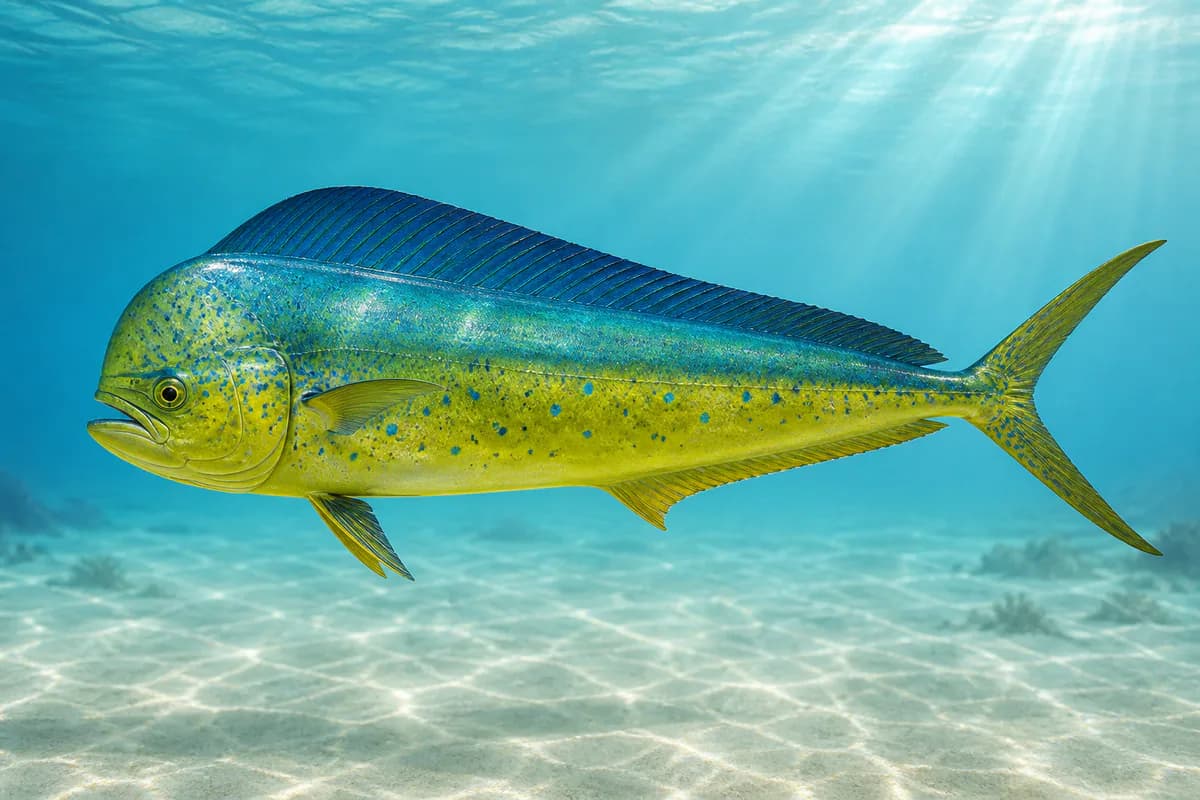
Species images are AI-generated illustrations for visual reference and may simplify natural variation. Fishery records are based on the cited agency and editorial sources. About fish illustrations
Ulua / papio
Primary
Caranx ignobilis
Also called Ulua
No seasonal pulse known
Hilo Bay and harbor jack fishery. DAR size/bag apply.
Yellowfin tuna (ahi)
Secondary
Thunnus albacares
Also called Ahi
No seasonal pulse known
Windward pelagic overlay from Hilo.
Mahi-mahi
Seasonal
Coryphaena hippurus
Also called Dorado
No seasonal pulse known
Windward pelagic overlay. Harvest dates follow the current regulations.
Seasonal timing is not defined for every target.
Access, Safety and Regulations
Access
Public harbor at Hilo. Nonresident marine license required. Waiakea Public Fishing Area is. Deep 7 vessel registration applies if targeting Deep 7.
Primary hazards
Harbor traffic, windward swell, and rain. These stations are not the Kona wave measurement.
Fishery considerations
Tide is NOAA 1617760 Hilo.
Windward trades and swell. Opposite-face controls remain. Hilo sensors do not describe a Kona fishing day.
Regulations
Size limits, seasons, and possession rules change. Verify the current official regulations before fishing.
The map marker represents the cataloged waterbody or monitoring location and may not indicate legal parking or public access. Confirm access through the official information before visiting.