Christiansted is a St. Croix harbor fishery built around reef-lined channels, working waterfront structure, protected harbor water, and nearby Caribbean shoreline. Tarpon, jacks, and snapper are major nearshore targets, with reef-associated species adding variety around structure and channel edges.
Current Coastal Rating
Poor · 53
Beta
Conditions are poor, but confidence is reduced because some coastal inputs are partial or prediction-based.
Scores are model-specific and are not directly comparable across water types.
Should I Go?
Trip conditions only. Target-species activity and seasonal fishery patterns are not yet included.
Wait
Trip conditions may improve later. Review the recommended window and the reason for waiting.
High confidence in the evaluated inputs — observational coverage is partial. — Required data sources were available and the key inputs were current.
Evaluates trip conditions using weather, tides, currents, waves, daylight, and active alerts.
This coastal rating is in public beta.
Missing waves are not calm. Forecast is not an observation. Prediction is not an observation.
Because this rating is in public beta, recommendations are capped at Consider when evidence is limited.
A missing current reading is not slack water. Tide height is not current.
Service Status
Degraded
Coastal conditions are partial, stale, or predictions-only.
Best later window
Tuesday · 8:00 AM–11:00 AM AST
Window score
81
Max wind
7 mph
Max gust
17 mph
Daylight
100% of window
Tide state
rising
Why
A later window scores 81 vs near-term 53; wait for the stronger period.
Current Readings
Updated Oct 20, 2026, 5:56 AM
NOAA Station
NOAA Station selected
Source
NOAA CO-OPS
Christiansted Harbor, St Croix station
0.3 mi from destination
Water level
0.8 ft MLLW
Updated 14 min ago
Past 7 Days
NOAA Station
NOAA Station selected
Water level
Window Oct 13, 2026, 5:56 AM – Oct 20, 2026, 5:56 AM (rolling 168 hours)
Water level over the past 7 days. 1678 observations · from Oct 13, 2026, 6:00 AM · to Oct 20, 2026, 5:42 AM Range 0.2 ft MLLW to 1.4 ft MLLW.
Readings decreased over the available period.
1678 observations · from Oct 13, 2026, 6:00 AM · to Oct 20, 2026, 5:42 AM
NOAA CO-OPS · Christiansted Harbor, St Croix · Station 9751364
U.S. Virgin Islands · U.S. Virgin Islands / St. John / Cruz Bay · Harbor
Approximately 40.8 miles away
Predicted Tides
Predicted
Falling
Next low tide
Oct 20, 2026, 6:54 AM
In 58 min
0.3 ft MLLW
Previous
High · Oct 19, 2026, 4:07 PM · 0.9 ft MLLW
Following
High · Oct 20, 2026, 4:32 PM · 0.9 ft MLLW
Tide station at destination
Christiansted Harbor · NOAA 9751364
Predicted Tidal Current
Predicted
Tidal-current predictions are not available for this destination.
Tidal-current timing can differ from high and low tide timing.
Fishery Profile
Fishery Overview
Christiansted Harbor reef and close-shelf fishery
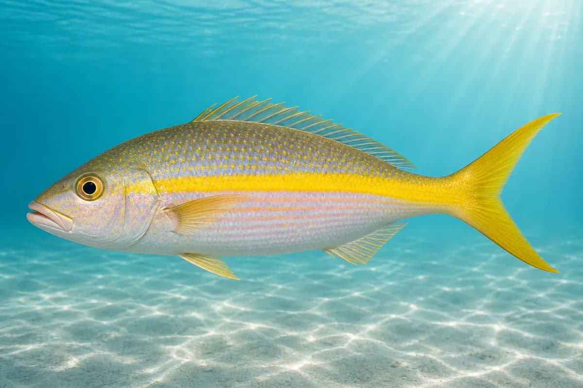
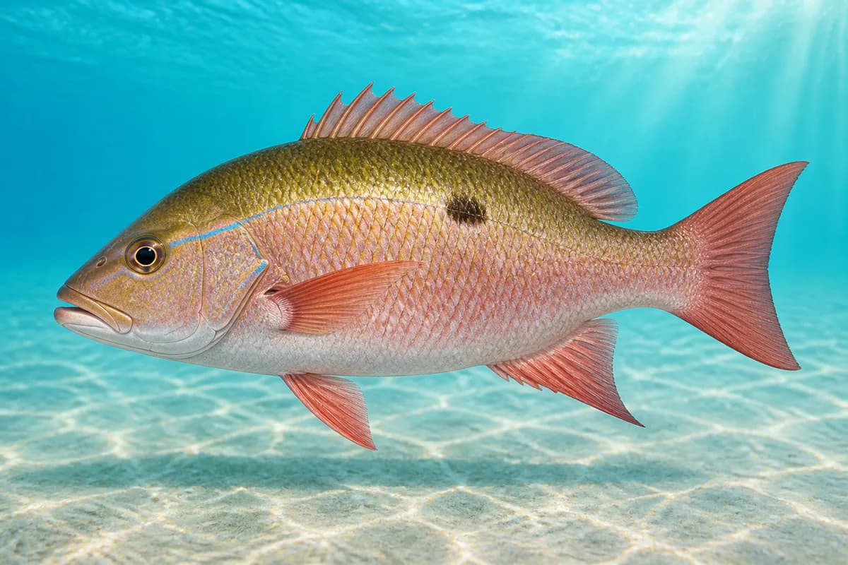
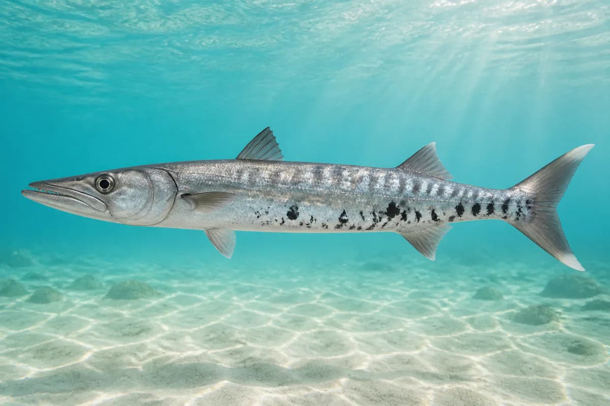
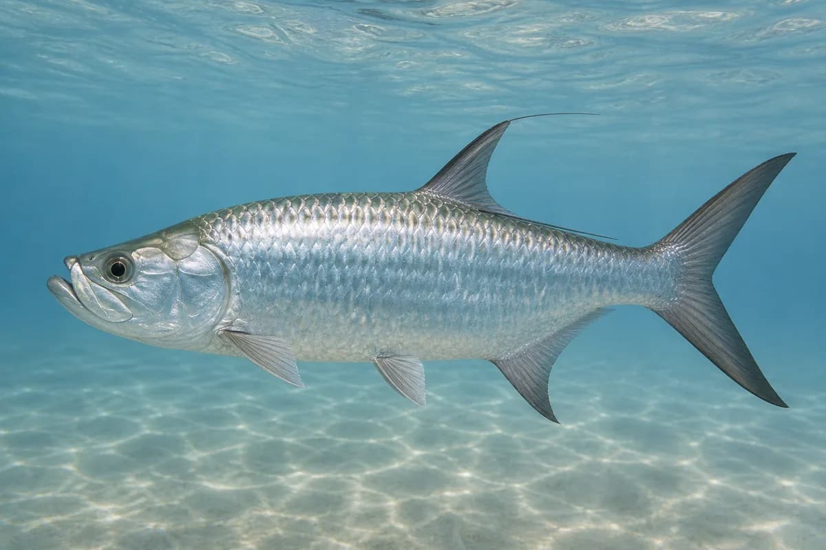
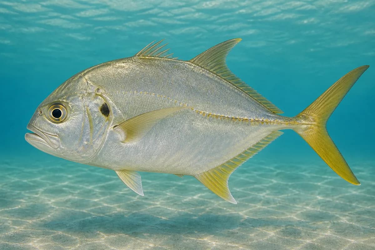
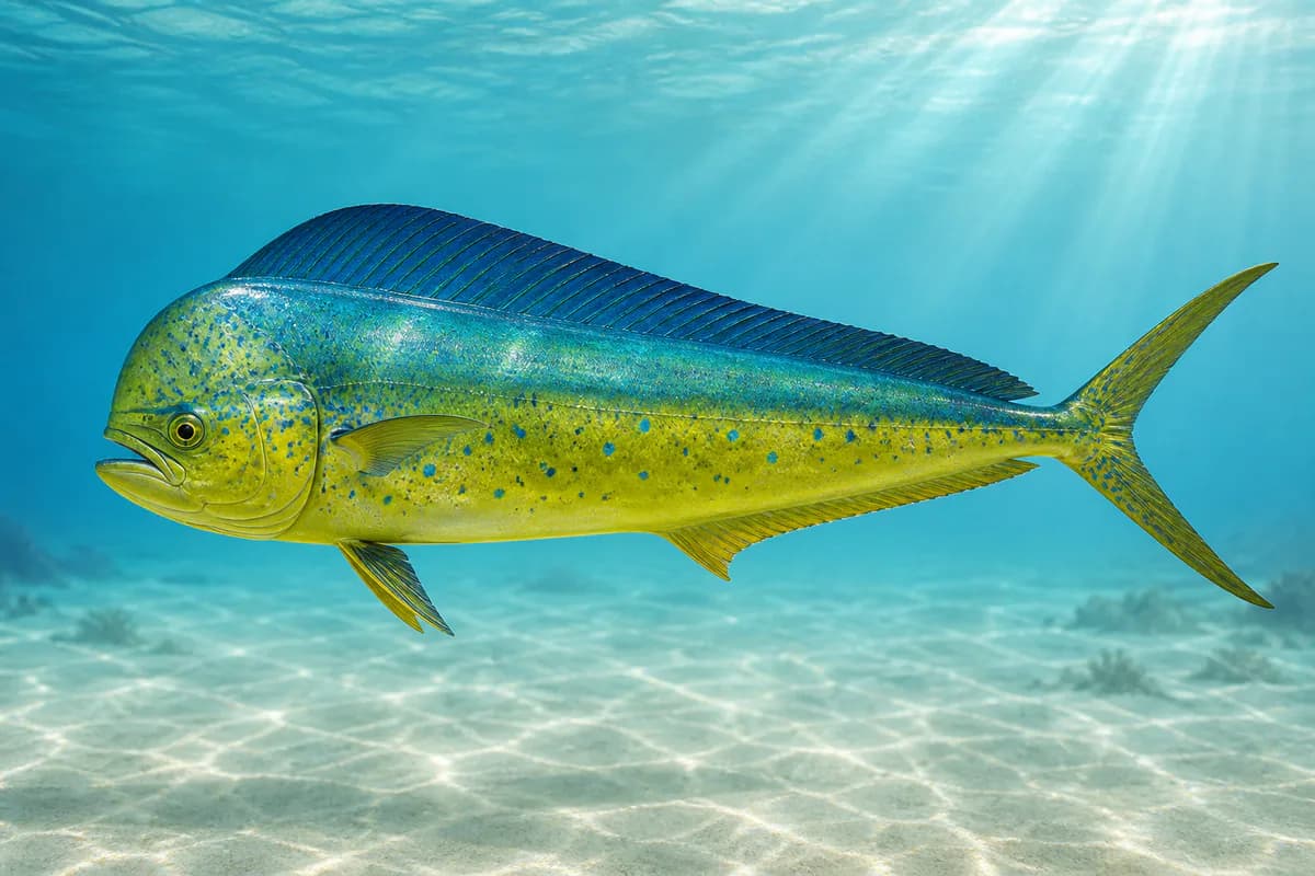
Christiansted Harbor on St. Croix is a protected harbor and close-reef fishery. Yellowtail snapper, mutton snapper, and great barracuda are the main harbor and reef fish, with Atlantic tarpon and jack crevalle around structure. Mahi-mahi show up on the close shelf outside the harbor rather than in the inner basin. This is the Christiansted waterfront, not the Frederiksted waterfront.
Fishery type
Harbor
Reef
Fishing modes
Inshore boat
Shore
Habitat and structure
Christiansted Harbor bulkheads and protected reef · Close St. Croix shelf outside the harbor · Lagoon and mangrove edges near the town harbor
Static seasonal guidance · Last reviewed Sep 3, 2026
Not a live bite forecast.
Fishery Targets
Yellowtail snapper, mutton snapper, great barracuda, and jack crevalle are present as year-round biological context in the harbor and on nearby reef. That presence is not a legal open season. Mahi-mahi are documented on the close shelf, and exact months are not listed for them here.
Species images are AI-generated illustrations for visual reference and may simplify natural variation. Fishery records are based on the cited agency and editorial sources. About fish illustrations
Yellowtail snapper
Primary
Ocyurus chrysurus
Also called colirrubia
No seasonal pulse known
Mutton snapper
Primary
Lutjanus analis
Also called sama
No seasonal pulse known
Great barracuda
Primary
Sphyraena barracuda
Also called Barracuda
No seasonal pulse known
Tarpon
Secondary
Megalops atlanticus
No seasonal pulse known
Crevalle jack
Secondary
Caranx hippos
No seasonal pulse known
Mahi-mahi
Secondary
Coryphaena hippurus
Also called Dorado
No seasonal pulse known
Mahi-mahi occur on the close shelf outside the harbor, not as a typical inner-harbor target.
Seasonal timing is not defined for every target.
Access, Safety and Regulations
Access
Dock access and shore fishing serve the protected harbor, nearby reef, and lagoon edges around the Christiansted waterfront. Inshore boats are the practical way to reach the close shelf outside the harbor.
Primary hazards
Harbor traffic, heat, and thunderstorms are the standing hazards around Christiansted. A missing wave reading does not mean the harbor is calm and does not mean a trip is safe.
Fishery considerations
The published tide here is Christiansted Harbor tide. It belongs to this harbor and is not the tide published for Frederiksted.
Christiansted Harbor has a wind observation for the harbor itself. That observation is harbor wind, not a measure of wave height.
Regulations
A USVI recreational fishing license is required and is issued through Go Outdoors USVI. St. Croix East End Marine Park rules can restrict fishing near St. Croix. This harbor description is not a boundary map, and it does not place Christiansted Harbor inside the park.
The map marker represents the cataloged waterbody or monitoring location and may not indicate legal parking or public access. Confirm access through the official information before visiting.