Cruz Bay is a St. John harbor fishery where protected waterfront, rocky island shoreline, reef edges, and nearby passages create a compact tropical inshore setting. Tarpon, jacks, and snapper provide the principal gamefish opportunities, with the harbor identity kept distinct from broader Virgin Islands offshore water.
Active coastal or marine alerts
Rip Current Statement
Severity: Moderate
Rip Current Statement issued October 20 at 4:04AM AST until October 21 at 6:00PM AST by NWS San Juan PR
Begins Oct 20, 2026, 6:00 PM · Ends Oct 21, 2026, 6:00 PM
There is a high risk of rip currents. Rip currents are powerful channels of water flowing quickly away from shore, which occur most often at low spots or breaks in the sandbar and in the vicinity of structures such as groins, jetties and piers. Heed the advice of lifeguards, b…
U.S. Virgin Islands · St. Thomas North Drop shelf-edge · Offshore
Approximately 13.6 miles away
Predicted Tides
Predicted
Falling
Next low tide
Oct 20, 2026, 8:30 AM
In 52 min
0.4 ft MLLW
Previous
High · Oct 19, 2026, 4:14 PM · 1.0 ft MLLW
Following
High · Oct 20, 2026, 4:47 PM · 1.0 ft MLLW
Tide prediction proxy
Lameshur Bay · NOAA 9751381
This nearby station is used for tide timing. Predicted height does not represent exact water depth or exposed-flat conditions at this destination.
Predicted Tidal Current
Predicted
Tidal-current predictions are not available for this destination.
Tidal-current timing can differ from high and low tide timing.
Fishery Profile
Fishery Overview
Cruz Bay VINP harbor, reef, and flats overlay fishery
A Cruz Bay, St. John harbor, reef, and flats-overlay fishery. Yellowtail, barracuda, tarpon, bonefish, and permit use VINP waters around the island hub.
Fishery type
Harbor
Reef
Flats
Fishing modes
Inshore boat
Shore
Habitat and structure
Cruz Bay harbor edges · VINP reef around St. John · Protected flats overlay; Lameshur is a tide source
Static seasonal guidance · Last reviewed Sep 1, 2026
Not a live bite forecast.
Fishery Targets
Yellowtail snapper and barracuda are year-round. VINP and federal closures are legal.
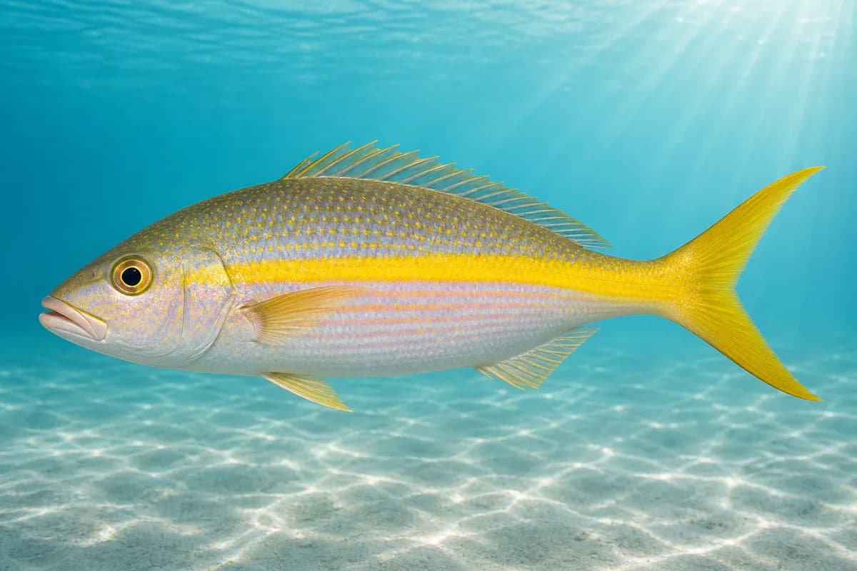
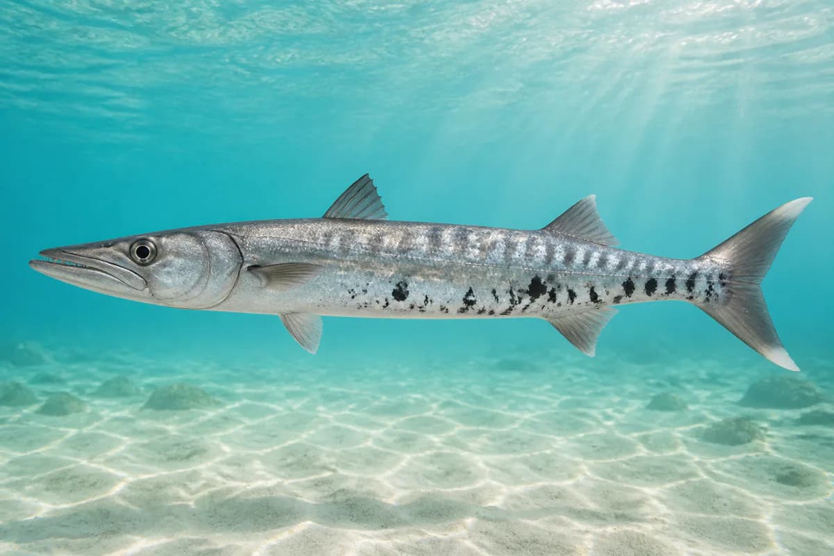
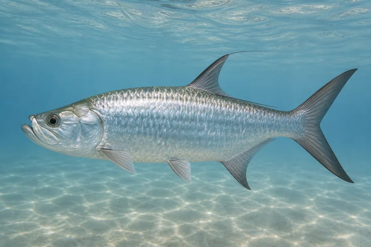
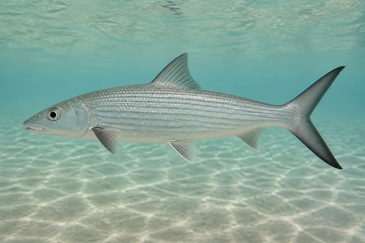
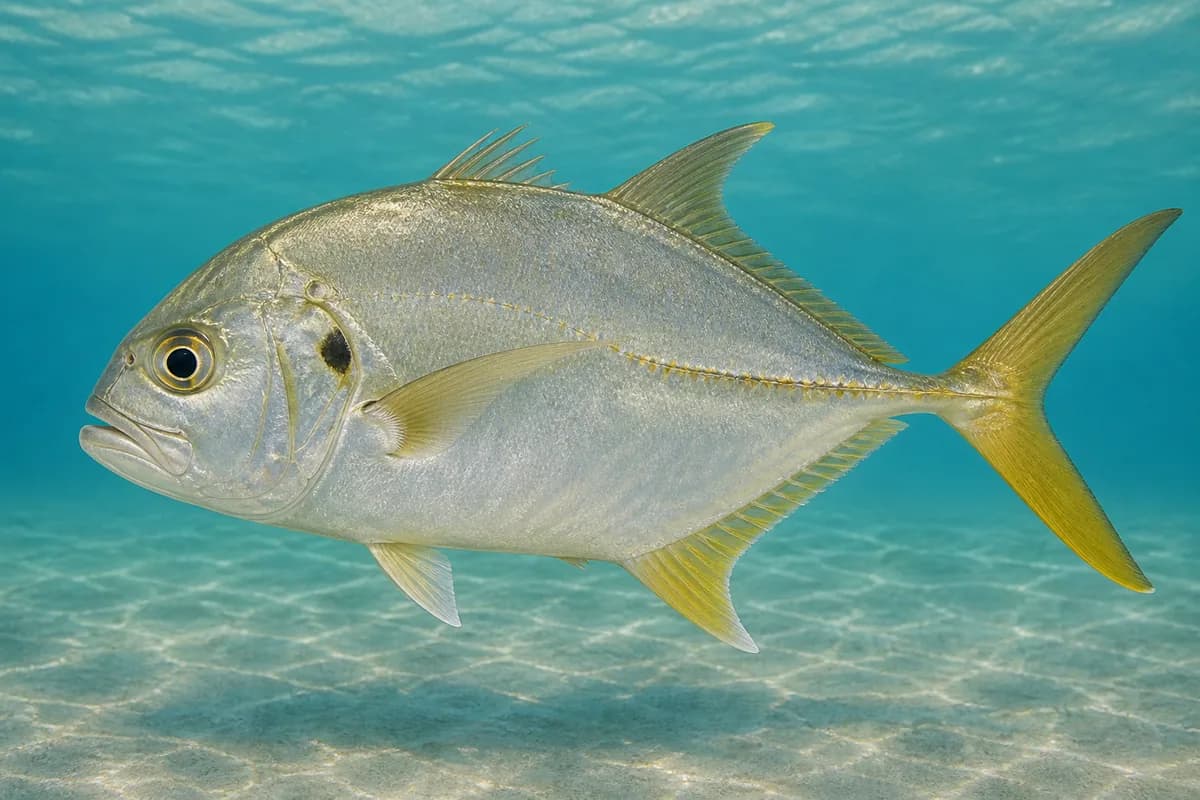
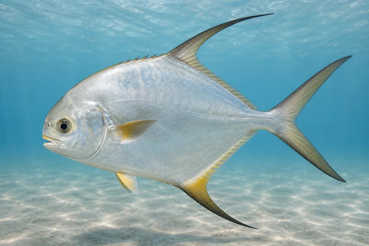
Species images are AI-generated illustrations for visual reference and may simplify natural variation. Fishery records are based on the cited agency and editorial sources. About fish illustrations
Yellowtail snapper
Primary
Ocyurus chrysurus
Also called colirrubia
No seasonal pulse known
Year-round reef fishing around St. John. Federal snapper closures are legal overlays.
Great barracuda
Primary
Sphyraena barracuda
Also called Barracuda
No seasonal pulse known
Ubiquitous inshore predator around harbor and reef.
Tarpon
Secondary
Megalops atlanticus
No seasonal pulse known
Harbor and mangrove-edge fishing. Harvest dates follow the current regulations.
Bonefish
Secondary
Albula vulpes
No seasonal pulse known
St. John flats overlay. Harvest dates follow the current regulations.
Crevalle jack
Secondary
Caranx hippos
No seasonal pulse known
Harbor and reef edges.
Permit
Seasonal
Trachinotus falcatus
No seasonal pulse known
Flats and reef overlay.
Seasonal timing is not defined for every target.
Access, Safety and Regulations
Access
Cruz Bay is the St. John hub. Virgin Islands National Park fishing rules apply in park waters. A USVI recreational license is administered through GoOutdoorsUSVI. Confirm current DPNR, VINP, and federal Caribbean rules. Confirm the current license requirement before fishing.
Primary hazards
Coral, heat, and thunderstorms. Missing waves are not calm.
Fishery considerations
Tide is nearby Lameshur Bay 9751381 observation and prediction. Lameshur is not Cruz Bay harbor. Current predictions are not available here.
Use the local marine forecast for wind. 9751381 wind is nearby contextual observation.
Regulations
Size limits, seasons, and possession rules change. Verify the current official regulations before fishing.
The map marker represents the cataloged waterbody or monitoring location and may not indicate legal parking or public access. Confirm access through the official information before visiting.