Chatham / Monomoy is a Cape Cod inlet-and-shoal fishery where shifting channels, sand bars, rips, and the Monomoy coastline connect Nantucket Sound with exposed Atlantic water. Striped bass and bluefish are the principal supported targets in this highly mobile nearshore fishery.
Active coastal or marine alerts
Gale Warning
Severity: Moderate
Gale Warning issued October 20 at 2:16AM EDT until October 21 at 8:00PM EDT by NWS Boston/Norton MA
Begins Oct 20, 2026, 2:16 AM · Ends Oct 21, 2026, 8:00 PM
Mariners should alter plans to avoid these hazardous conditions. Remain in port, seek safe harbor, alter course, and/or secure the vessel for hazardous conditions.
These values are tidal-current predictions, not real-time observed currents. They describe conditions near this prediction station rather than the entire surrounding coastal area.
Data coverage
This station provides max-current and slack-water events, but not a continuous current-speed timeline.
ACT1636/Stage Harbor current applies only to Stage Harbor, not Pollock Rip or all offshore Monomoy.
Tidal-current timing can differ from high and low tide timing.
Fishery Profile
Fishery Overview
Chatham / Monomoy shoals, beaches, inlets, and flats
A dynamic outer-Cape fishery of beaches, shoals, inlets, flats, and the Stage Harbor vicinity. Conditions vary sharply between protected harbor water and offshore shoal systems.
Fishery type
Shoal beach
Inlet
Flats
Fishing modes
Shore
Wade
Inshore boat
Habitat and structure
Ocean beaches and bars · Inlet mouths · Tidal flats and channels · Stage Harbor approaches
Static seasonal guidance · Last reviewed Jul 20, 2026
Not a live bite forecast.
Fishery Targets
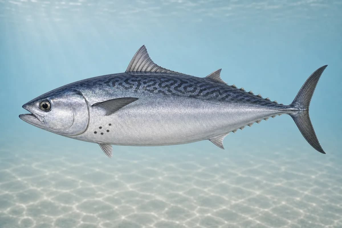
Bass and bluefish define the principal fishery, flounder use softer local edges, and bonito or false albacore can appear in warm-water periods.
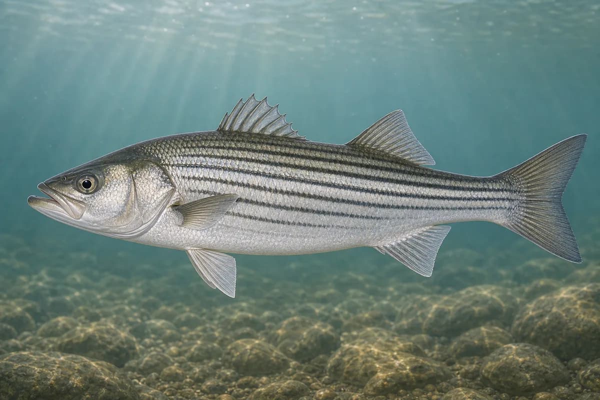
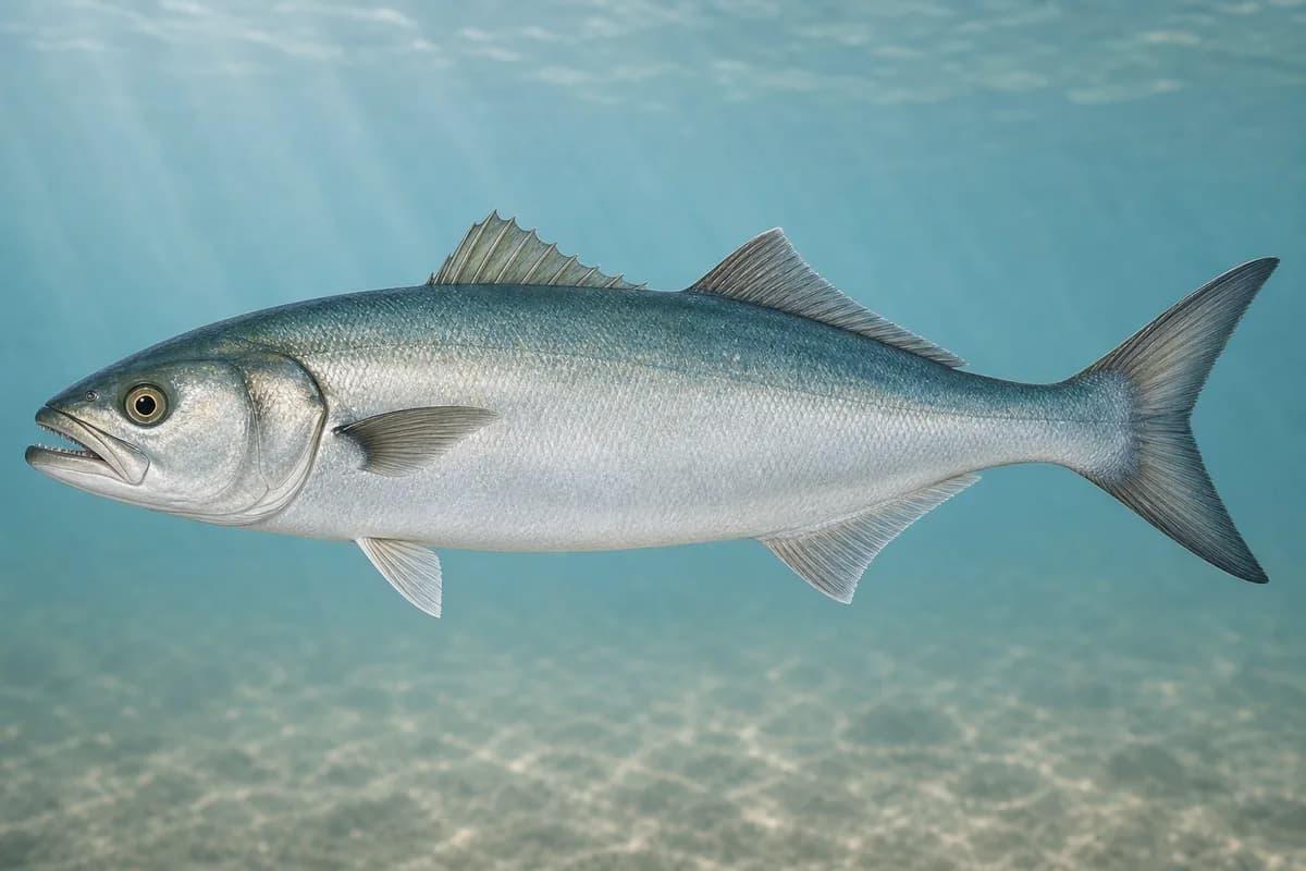
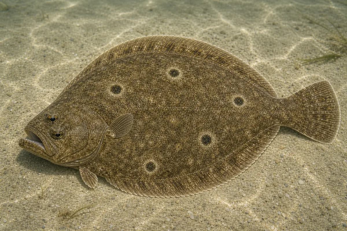
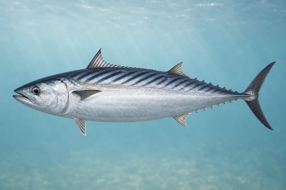
Species images are AI-generated illustrations for visual reference and may simplify natural variation. Fishery records are based on the cited agency and editorial sources. About fish illustrations
Striped bass
Primary
Morone saxatilis
Currently in a typical seasonal window
Typical seasonal window: MAY — NOVEMBER
Bluefish
Primary
Pomatomus saltatrix
Currently in a typical seasonal window
Typical seasonal window: JUNE — OCTOBER
Summer flounder
Secondary
Paralichthys dentatus
Typical seasonal window: MAY — SEPTEMBER
Atlantic bonito
Seasonal
Sarda sarda
Typical seasonal window: JULY — SEPTEMBER
False albacore
Seasonal
Euthynnus alletteratus
Also called Little tunny
Currently in a typical seasonal window
Typical seasonal window: AUGUST — OCTOBER
Typical Seasonal Targets
Striped bass — MAY — NOVEMBER
Bluefish — JUNE — OCTOBER
Summer flounder — MAY — SEPTEMBER
Atlantic bonito — JULY — SEPTEMBER
False albacore — AUGUST — OCTOBER
Seasonal presence is general guidance and does not indicate current fish activity.
How to Fish Chatham / Monomoy
Typical October approaches include beach, bar, and flats casting and soft-edge and seasonal pelagic work for Striped bass and Bluefish.
Beach, bar, and flats casting
Cast beach troughs and shallow channels, or wade only with a planned exit route.
Best for
Striped bass
Bluefish
Modes
Shore
Wade
Inshore boat
Setup
Beach and flats setup
Soft-edge and seasonal pelagic work
Drift softer edges locally or make compact casts to surface activity.
Best for
False albacore
Modes
Shore
Inshore boat
Setup
Edge and pelagic setup
Common Tackle Setups
Beach and flats setup
Light-to-medium shore and wading tackle for moving water.
Rod
7–9 ft medium spinning rod.
Reel
Light saltwater spinning reel.
Main line
Casting braid.
Leader
Modest abrasion-resistant leader.
Terminal tackle
Light snaps and jig heads.
Presentation
Keep gear manageable when wading and turn back early as water rises.
Used for
Beach, bar, and flats casting
Edge and pelagic setup
Bottom-sensitive tackle that can cast compact metals.
Rod
Medium spinning rod.
Reel
Smooth-drag reel.
Main line
Light braid.
Leader
Leader matched to bottom or clear water.
Terminal tackle
Bucktails and light snaps.
Presentation
Stay within local, supported harbor and nearshore conditions.
Used for
Soft-edge and seasonal pelagic work
Typical October Lures and Flies
Common lure and fly families associated with this month’s techniques.
Lures
Minnow-style swimming plug
Lure
Striped bass
Bluefish
Shallow to midwater · Steady, twitch, pause
Cast across seams and let the plug track with the current
Soft-plastic sand eel
Lure
Striped bass
Bluefish
Shallow to midwater · Steady, twitch, slow
Swim or twitch just above the bottom on flats and bar edges
Compact casting metal
Lure
False albacore
Shallow to midwater · Fast, steady
Lead showing fish and keep a fast, even retrieve
Epoxy-style casting jig
Lure
False albacore
Shallow to midwater · Fast, steady, twitch
Cast beyond visible activity and retrieve through the edge of the school
Flies
Sand-eel fly
Fly
Striped bass
Modes
Shore
Wade
Shallow · Steady, slow, swing
Present across or slightly down-current and keep the fly near the bottom without snagging
General seasonal guidance, not a live recommendation, product endorsement, or guarantee of success.
Access, Safety and Regulations
Access
Use established public beach and harbor access. Flats and spit access can change with tides, seasonal protections, and posted closures.
Primary hazards
Changing channels, rising water, fog, and offshore shoals require a conservative exit and navigation plan.
Fishery considerations
Current conditions in the app are for Stage Harbor only. The Stage Harbor feed is not offshore-rip guidance.
Outer beaches and shoals become exposed quickly with swell, wind, and fog.
Regulations
Size limits, seasons, and possession rules change. Verify the current official regulations before fishing.
The map marker represents the cataloged waterbody or monitoring location and may not indicate legal parking or public access. Confirm access through the official information before visiting.