
Arizona
Salt River below Stewart Mountain Dam
Location Snapshot
Salt River below Stewart Mountain Dam is a regulated central Arizona river reach below Saguaro Lake and Stewart Mountain Dam. Stocked rainbow trout provide the principal coldwater opportunity, with warmwater species adding variety farther through the lower river corridor.
Current River Rating
Unavailable
Not enough local guidance to rate conditions.
Partial water evidence · Low confidence
Should I Go?
Not Enough Data
Timing Outlook
No reliable fishing window is available with the current data.
Why
- Current flow and stage observations are available, but this river does not yet have enough local fishing guidance to assign a rating.
Cautions
- Water temperature is unavailable.
Current Readings
- Flow
- 26 CFS
- Gage Height
- 2.64 ft
- Water Temperature
- Not available
- Observation Time
- Oct 20, 2026, 9:00 AM
Updated recently · USGS station 09502000 · Direct monitoring location
Readings from past 7 Days
Loading readings from the past 7 days…
Historical readings are provided for context. Readings outside the current freshness window are not used to rate current conditions.
Better Nearby Options
Checking nearby StrikeTracks waters…
Preliminary guidance only. Always assess current weather, access, water depth, current speed, and your own ability before entering the river.
Changing Conditions Advisory
Loading advisory…
Weather Near Gauge
Current Weather
Clear
Temperature
81°F
Feels like
81°F
Wind
3 mph SE
Wind gust
8 mph
Current precipitation
0.00 in
Updated
Oct 19, 2026, 9:45 AM
Recent Rainfall
Estimated precipitation near this gauge
Last 6 hours
0.00 in
Last 24 hours
0.00 in
Last 48 hours
0.00 in
Little recent rainfall near this river.
Next 24 Hours
Tue 3 AM
Clear
Temp 71°F
Chance 2%
Precip 0.00 in
Wind 3 mph
Tue 7 AM
Clear
Temp 70°F
Chance 1%
Precip 0.00 in
Wind 4 mph
Tue 11 AM
Clear
Temp 88°F
Chance 1%
Precip 0.00 in
Wind 11 mph
Tue 3 PM
Clear
Temp 91°F
Chance 3%
Precip 0.00 in
Wind 11 mph
Tue 7 PM
Overcast
Temp 84°F
Chance 9%
Precip 0.00 in
Wind 4 mph
Tue 11 PM
Overcast
Temp 81°F
Chance 15%
Precip 0.00 in
Wind 8 mph
Four-Day Forecast
Tue, Oct 20
Overcast
High 91°F / Low 70°F
Chance 15%
Precip 0.00 in
Max gust 21 mph
Wed, Oct 21
Drizzle
High 84°F / Low 69°F
Chance 71%
Precip 0.26 in
Max gust 8 mph
Thu, Oct 22
Thunderstorms
High 82°F / Low 68°F
Chance 92%
Precip 0.95 in
Max gust 23 mph
Weather and rainfall are estimated for this river's coordinates. Local conditions can vary, especially in mountainous terrain and during isolated storms.
Recent rainfall can influence river flow, but the timing and magnitude depend on watershed size, soil conditions, upstream reservoirs, and dam releases.
Weather data: Open-Meteo
Historical Flow
Loading historical flow…
Fishing Overview
Rainbow trout are in the mixed fishery on the Salt River below Stewart Mountain Dam, a tailwater.
Fishery Profile
Documented species you may encounter at Salt River.
Species images are AI-generated illustrations for visual reference and may simplify natural variation. Fishery records are based on the cited agency sources. About fish illustrations
Target species
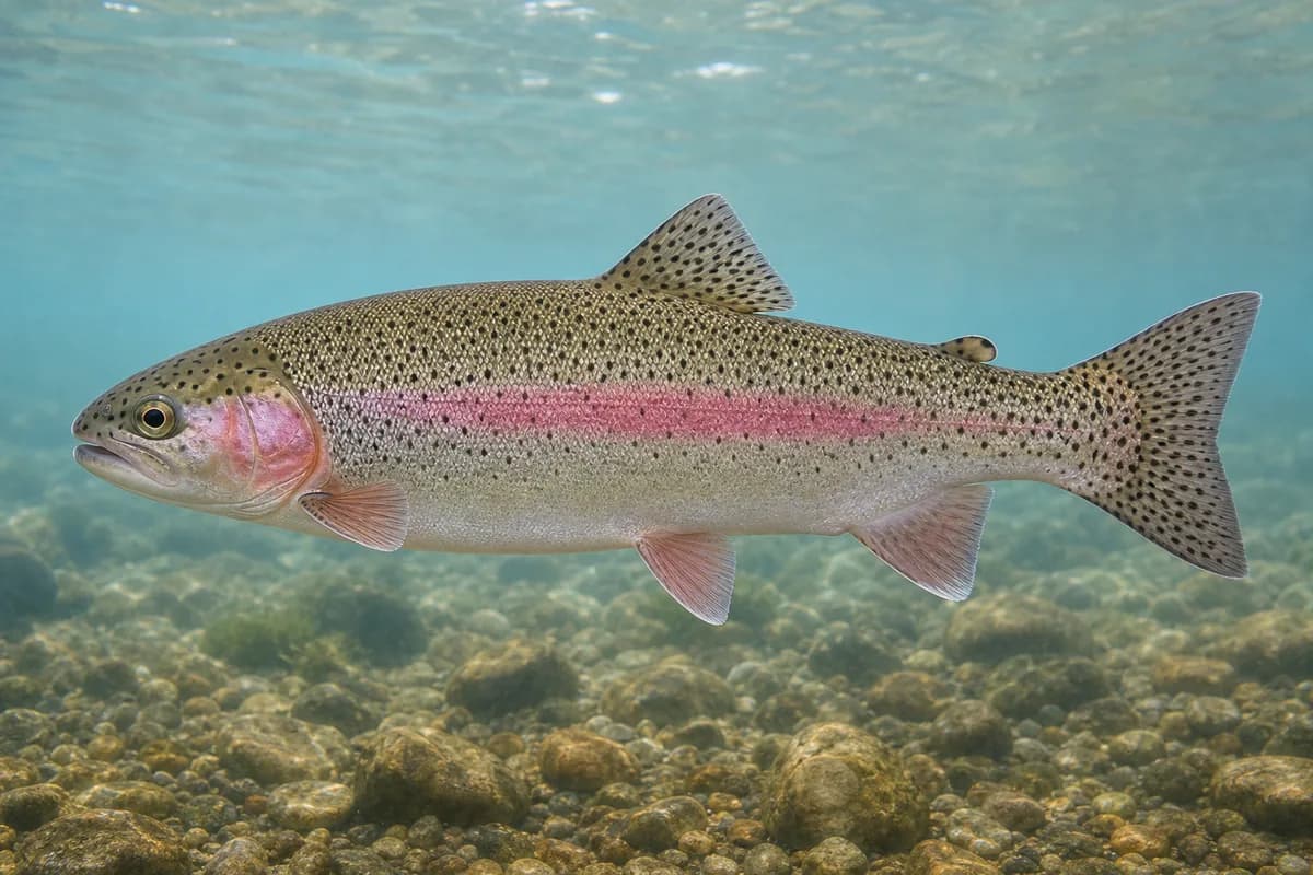
Rainbow Trout
Oncorhynchus mykiss
- Expectation
- Primary
- Population
- Stocked
- Native status
- introduced
- Confidence
- High confidence
Source: Arizona Game and Fish Department
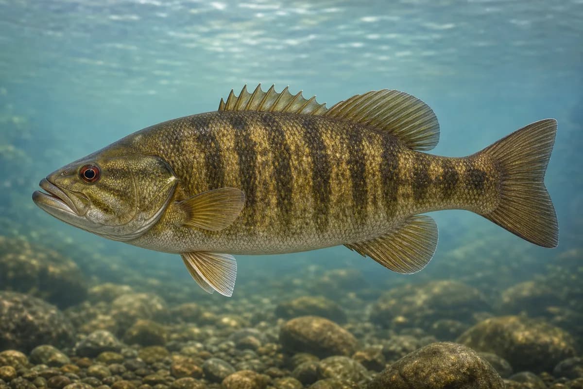
Smallmouth Bass
Micropterus dolomieu
- Expectation
- Common
- Population
- Wild
- Native status
- introduced
- Confidence
- High confidence
Source: Arizona Game and Fish Department
Fishery characteristics
- Composition
- Mixed wild and stocked
- Great Lakes tributary
- No
- Flow regime
- Tailwater
Best seasons
- Spring
- Summer
- Fall
Common techniques
- Dry flies
- Fly fishing
- Nymphing
- Shore fishing
- Spinning
- Streamers
Stocking information
- Stocked
Rainbow Trout
Stocked · Arizona Game and Fish Department
Official sources
Hatch Match
General fly suggestions
- Parachute-style dryGeneral attractor dry family — not a claim that a named mayfly is hatching.
- Pheasant-tail-style nymphGeneral nymph family for trout rivers without destination hatch timing.
- Elk-hair-style dryGeneral dry/attractor family. Pattern choice only — not a report that caddis are hatching.
- Woolly-bugger-style streamerGeneral streamer family. Not a forage or insect Hatch event.
These are general fishing suggestions, not a report of insects currently hatching at this destination.
Location and Access
USGS monitoring location
Maricopa, Arizona
The map marker represents the cataloged waterbody or monitoring location and may not indicate legal parking or public access. Confirm access through the official information before visiting.
River Details
County
Maricopa
Management Category
Urban tailwater trout and mixed river
Regulation Scope
Salt River below Stewart Mountain Dam / Lower Salt Phoenix.
Regulation Summary
Salt River below Stewart Mountain Dam: AZGFD Lower Salt public rules. Confirm current Commission Order 40.
Target Species
rainbow-trout, smallmouth-bass
Access, Parking, and Regulations
Loading access and regulations…