Offshore
Kauai Offshore Pelagic
Offshore · Hawaii · South Kauai offshore grounds
Location Snapshot
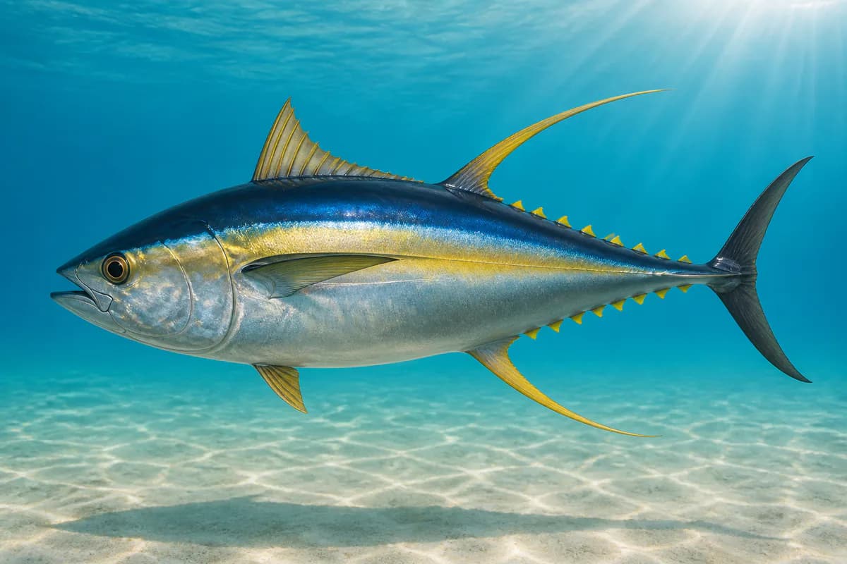
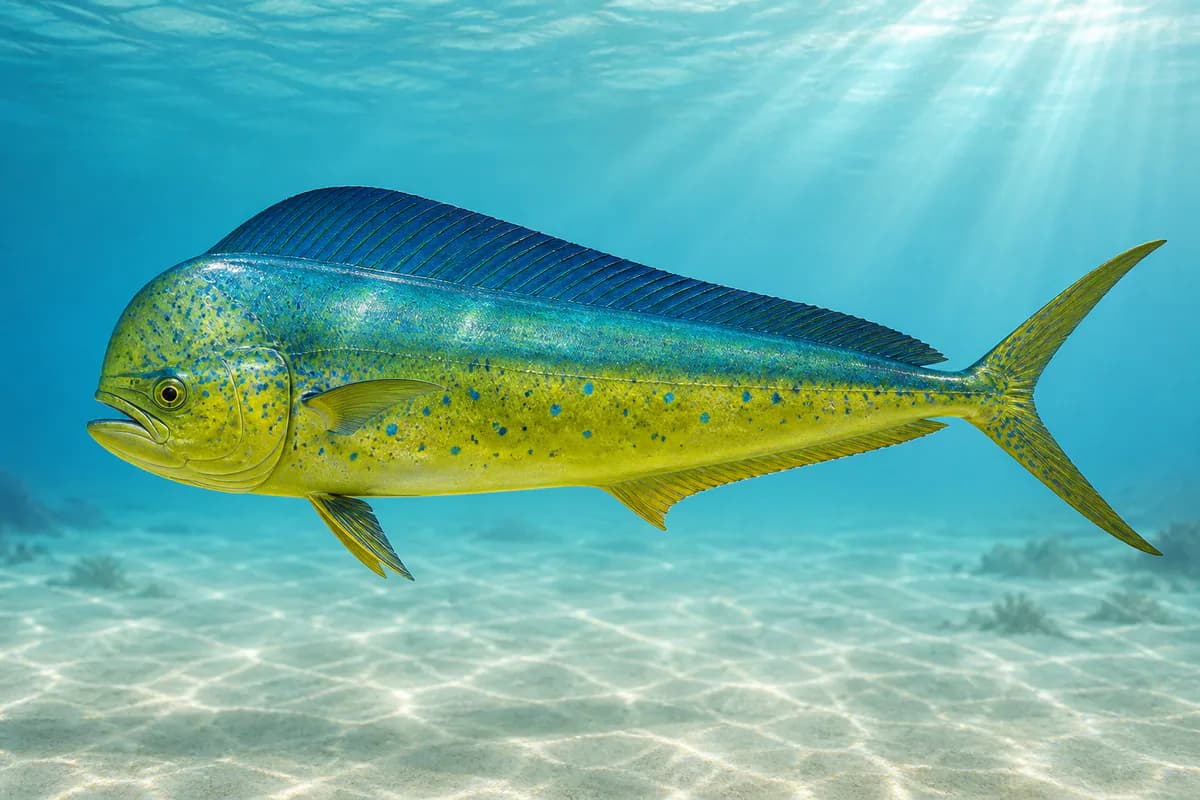
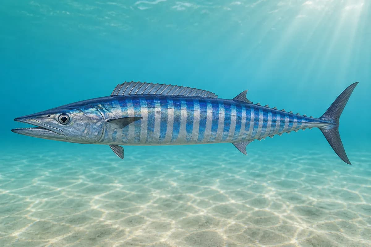
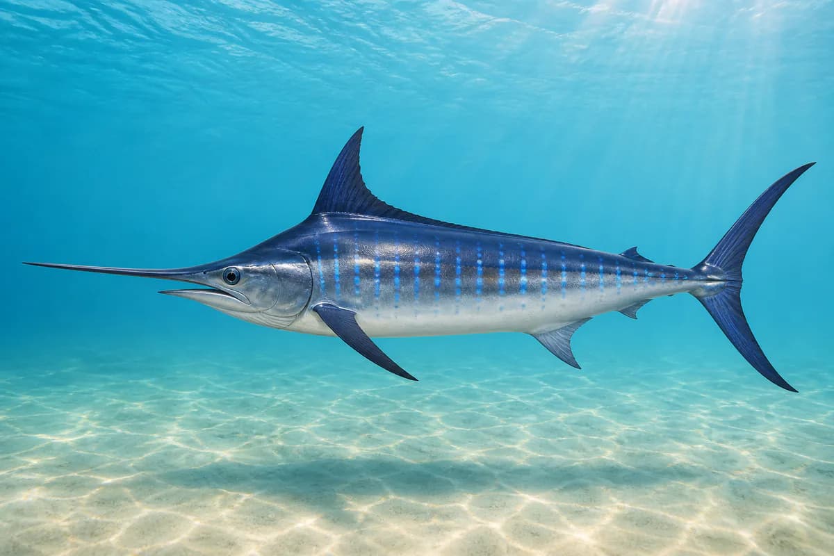
Kauai Offshore Pelagic represents the open-water fishery beyond Kauai, where deep Pacific water close to the island supports a boat-based pelagic fishery. Yellowfin tuna, wahoo, mahi-mahi, and Pacific blue marlin are among the principal supported targets in these offshore waters.
Information Only
StrikeTracks does not currently provide an Offshore fishing-condition rating. Marine Conditions are observations and forecasts for trip planning. They are not an Excellent, Good, Fair, or Poor fishing score.
Marine Conditions
Planning context — not a fishing rating.
Wind
ENE 15 mph
Regional marine forecast
NWS HFO
Nearby fishing destinations
Fishery Profile
Fishery Overview
Kauai Offshore Pelagic offshore fishery
Kauai Offshore Pelagic is south Kauai bluewater. Yellowfin tuna, mahi-mahi, and wahoo are the offshore fish.
- Habitat and structure
- South Kauai offshore · Pelagic
Static seasonal guidance · Last reviewed Sep 2, 2026
Not a live bite forecast.
Fishery Targets
Seasons for Mahi change with the annual rules. Wahoo follow a typical season.
This reflects typical biological/fishery timing, not a legal open season. Check current regulations before fishing.
Species images are AI-generated illustrations for visual reference and may simplify natural variation. Fishery records are based on the cited agency and editorial sources. About fish illustrations
Typical Seasonal Targets
- Mahi-mahi — SUMMER
- Wahoo — SUMMER
Seasonal presence is general guidance and does not indicate current fish activity.
Access, Safety and Regulations
Access
Offshore boat from Kauai. Not inside the Nawiliwili breakwater.
Primary hazards
Exposed Kauai seas. Watch the weather before you run offshore.
Fishery considerations
- Nawiliwili harbor tides are not representative of this location.
- Regional NWS.
Regulations
Size limits, seasons, and possession rules change. Verify the current official regulations before fishing.
Fishery Sources
Editorial and agency sources supporting this fishery profile. Live and predicted conditions use the separate Data Sources section.
Location and Access
This marker is the mapped fishing area. It is not a boat ramp, a parking area, or a place to drive to.