Offshore
Icy Strait / Point Adolphus
Offshore · Alaska · Icy Strait water north of Point Adolphus
Location Snapshot
Icy Strait / Point Adolphus is a bounded Southeast Alaska strait fishery west of the Juneau canal system, centered on broad saltwater grounds around Point Adolphus. Pacific halibut, Chinook salmon, and coho salmon form the principal supported target mix, combining bottom fishing with salmon-oriented offshore opportunity.
Information Only
StrikeTracks does not currently provide an Offshore fishing-condition rating. Marine Conditions are observations and forecasts for trip planning. They are not an Excellent, Good, Fair, or Poor fishing score.
Marine Conditions
Planning context — not a fishing rating.
Marine Forecast
Tonight
SE wind 25 kt. Seas 6 ft. Rain.
Marine Alerts
- Gale Warning · Moderate — Gale Warning issued October 19 at 8:19PM AKDT until October 20 at 5:00PM AKDT by NWS Juneau AK
- Gale Warning · Moderate — Gale Warning issued October 19 at 3:44PM AKDT until October 20 at 5:00PM AKDT by NWS Juneau AK
- Gale Warning · Moderate — Gale Warning issued October 19 at 11:48AM AKDT until October 20 at 5:00PM AKDT by NWS Juneau AK
- Gale Warning · Moderate — Gale Warning issued October 20 at 12:54AM AKDT until October 20 at 7:00PM AKDT by NWS Juneau AK
- Small Craft Advisory · Minor — Small Craft Advisory issued October 20 at 12:54AM AKDT until October 20 at 1:00PM AKDT by NWS Juneau AK
- Small Craft Advisory · Minor — Small Craft Advisory issued October 20 at 12:54AM AKDT until October 21 at 10:00AM AKDT by NWS Juneau AK
Nearby fishing destinations
Other fishing destinations nearby
Alaska · Cape Edgecumbe / outer Sitka Sound · Offshore
Approximately 89.8 miles away
Alaska · Clarence Strait / Prince of Wales outside waters · Offshore
Approximately 261.3 miles away
Alaska · Resurrection Bay mouth / North Gulf · Offshore
Approximately 494 miles away
Fishery Profile
Fishery Overview
Icy Strait / Point Adolphus offshore fishery
Icy Strait / Point Adolphus is a strait / salmon-halibut grounds destination in AK. Distinct from Sitka Outer Coast and Ketchikan / Prince of Wales. Juneau city water is not this strait. Lynn Canal / Stephens Passage are not this destination. Exclude Glacier Bay National Park waters (north of the park entrance / Bartlett Cove). Point Adolphus is on Chichagof, south side of Icy Strait, outside the park. IPHC Area 2C charter rules are legal tables.
- Fishery type
- Strait salmon halibut grounds
- Habitat and structure
- Named strait · Salmon and halibut water
Static seasonal guidance · Last reviewed Sep 2, 2026
Not a live bite forecast.
Fishery Targets
Seasons for Pacific halibut, Chinook, and coho change with the annual rules. Black rockfish and lingcod follow a typical season.
This reflects typical biological/fishery timing, not a legal open season. Check current regulations before fishing.
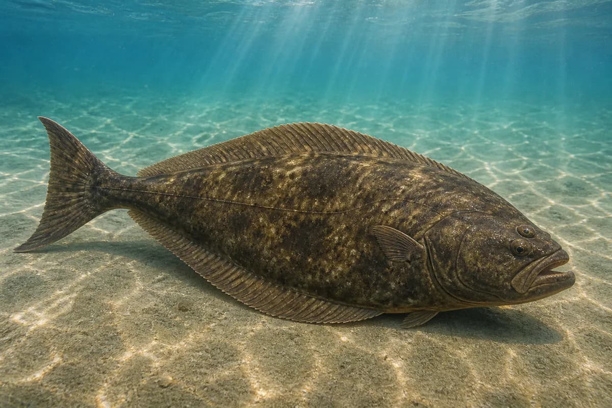
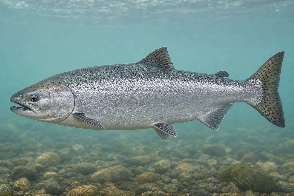
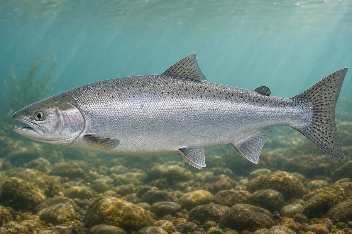
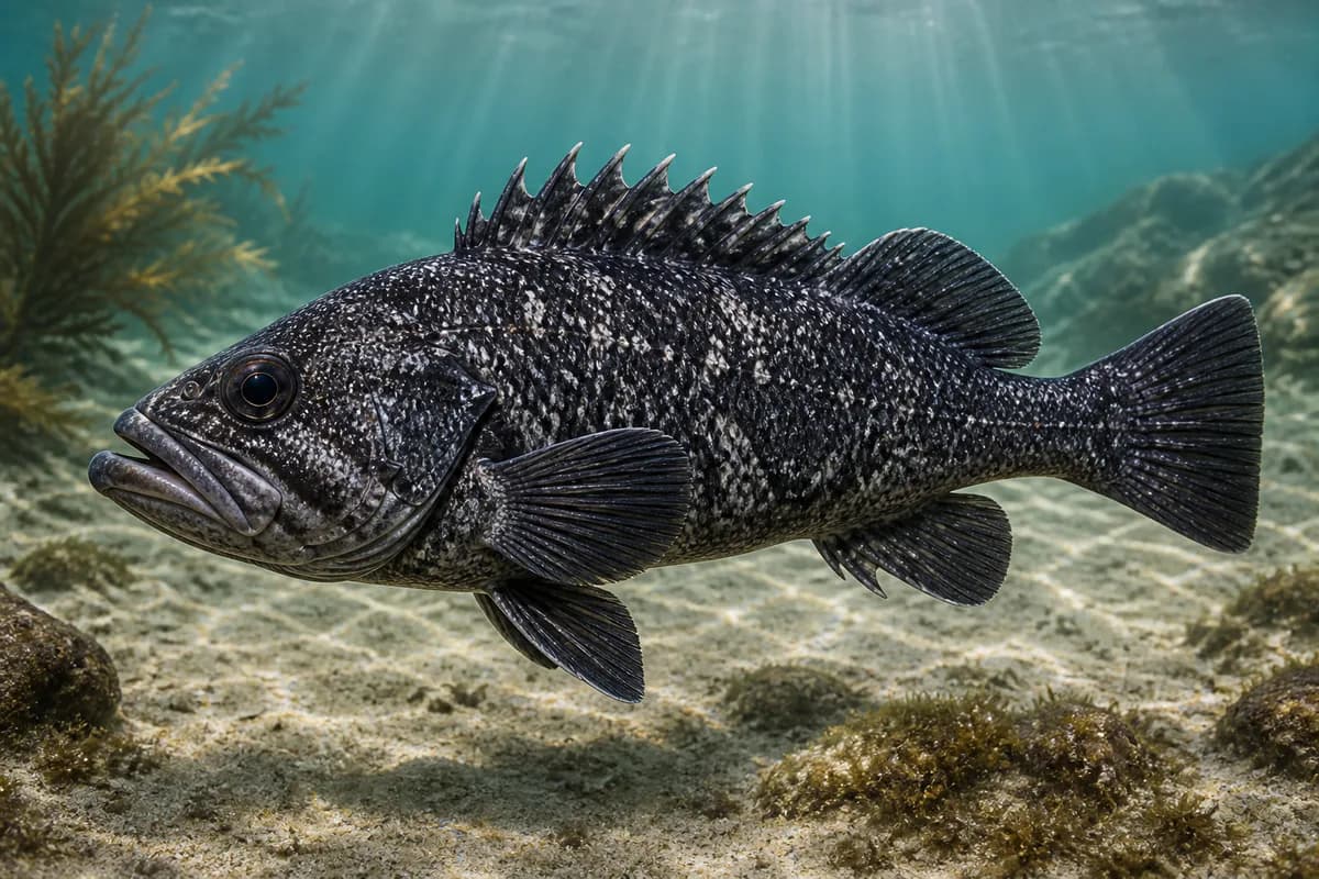
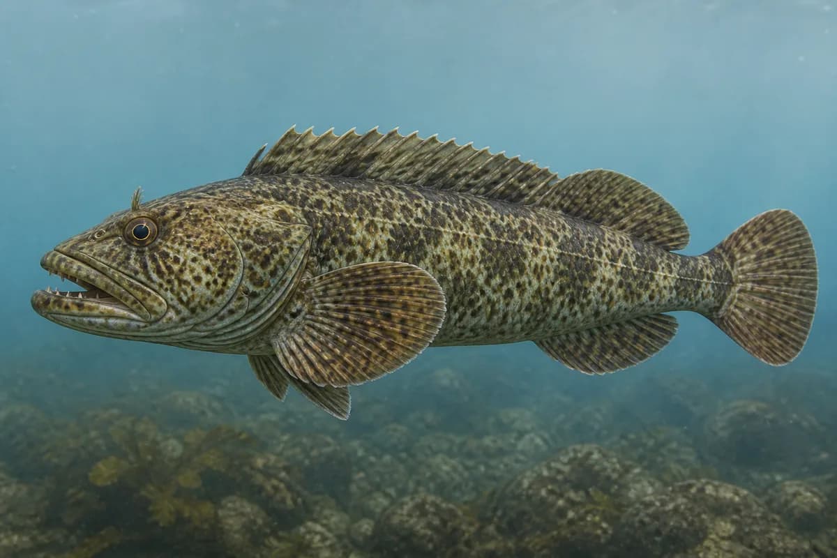
Species images are AI-generated illustrations for visual reference and may simplify natural variation. Fishery records are based on the cited agency and editorial sources. About fish illustrations
Pacific halibut
PrimaryRegulations vary annuallyHippoglossus stenolepis
Typical seasonal opportunity: LATE SPRING — SUMMER
Chinook Salmon
PrimaryRegulations vary annuallyOncorhynchus tshawytscha
Typical seasonal opportunity: SUMMER — EARLY FALL
Coho Salmon
PrimaryRegulations vary annuallyOncorhynchus kisutch
Typical seasonal opportunity: SUMMER — EARLY FALL
Sebastes melanops
Also called Black bass
Typical seasonal opportunity: SPRING — FALL
Ophiodon elongatus
Typical seasonal opportunity: SUMMER
Typical Seasonal Targets
- Pacific halibut — LATE SPRING — SUMMER
- Chinook Salmon — SUMMER — EARLY FALL
- Coho Salmon — SUMMER — EARLY FALL
- Black rockfish — SPRING — FALL
- Lingcod — SUMMER
Seasonal presence is general guidance and does not indicate current fish activity.
Access, Safety and Regulations
Access
Boat from Hoonah / Gustavus / Icy Strait. Not Juneau harbor and not Bartlett Cove.
Primary hazards
Strait seas. Park waters north of the entrance are excluded.
Fishery considerations
- Point Adolphus tide station is not offshore-local ocean evidence.
- Regional NWS.
Regulations
Size limits, seasons, and possession rules change. Verify the current official regulations before fishing.
Fishery Sources
Editorial and agency sources supporting this fishery profile. Live and predicted conditions use the separate Data Sources section.
Location and Access
This marker is the mapped fishing area. It is not a boat ramp, a parking area, or a place to drive to.