Offshore
Cape Lookout Shoals
Offshore · North Carolina · Cape Lookout Shoals / Crystal Coast offshore
Location Snapshot
Cape Lookout Shoals is a North Carolina offshore shoal fishery defined by broad Atlantic shoal structure beyond the nearshore Cape Lookout coast. King mackerel, Spanish mackerel, and greater amberjack are the principal supported targets, giving this boat-based destination a distinctly coastal-pelagic and structure-oriented character.
Information Only
StrikeTracks does not currently provide an Offshore fishing-condition rating. Marine Conditions are observations and forecasts for trip planning. They are not an Excellent, Good, Fair, or Poor fishing score.
Marine Conditions
Planning context — not a fishing rating.
Regional Marine Forecast
Today
N winds 20 to 25 kt, diminishing to 15 to 20 kt this afternoon. Gusts up to 30 kt. Seas 6 to 9 ft, except 3 to 5 ft near shore. Wave Detail: E 8 ft at 15 seconds and N 5 ft at 5 seconds. Adjacent sounds and rivers rough, diminishing to choppy this afternoon.
Marine Alerts
- Small Craft Advisory · Minor — Small Craft Advisory issued October 20 at 3:00AM EDT until October 25 at 8:00AM EDT by NWS Newport/Morehead City NC
Nearby fishing destinations
North Carolina · Southeast Atlantic / Crystal Coast · Inlet
Approximately 17.9 miles away
North Carolina · Southeast Atlantic / Crystal Coast · Shore
Approximately 19.4 miles away
North Carolina · Big Rock grounds offshore Morehead City · Offshore
Approximately 30.3 miles away
Fishery Profile
Fishery Overview
Cape Lookout Shoals offshore fishery
Cape Lookout Shoals is a offshore shoal destination in NC. Distinct from Morehead / Big Rock (shelf-edge / Stream) and Frying Pan Shoals (Cape Fear). National Seashore is land. Cape Lookout National Seashore is the land/cape.
- Habitat and structure
- Named shoal · Structure
Static seasonal guidance · Last reviewed Sep 2, 2026
Not a live bite forecast.
Fishery Targets
Kings and Spanish follow a typical season. Seasons for Amberjack and gag change with the annual rules.
This reflects typical biological/fishery timing, not a legal open season. Check current regulations before fishing.
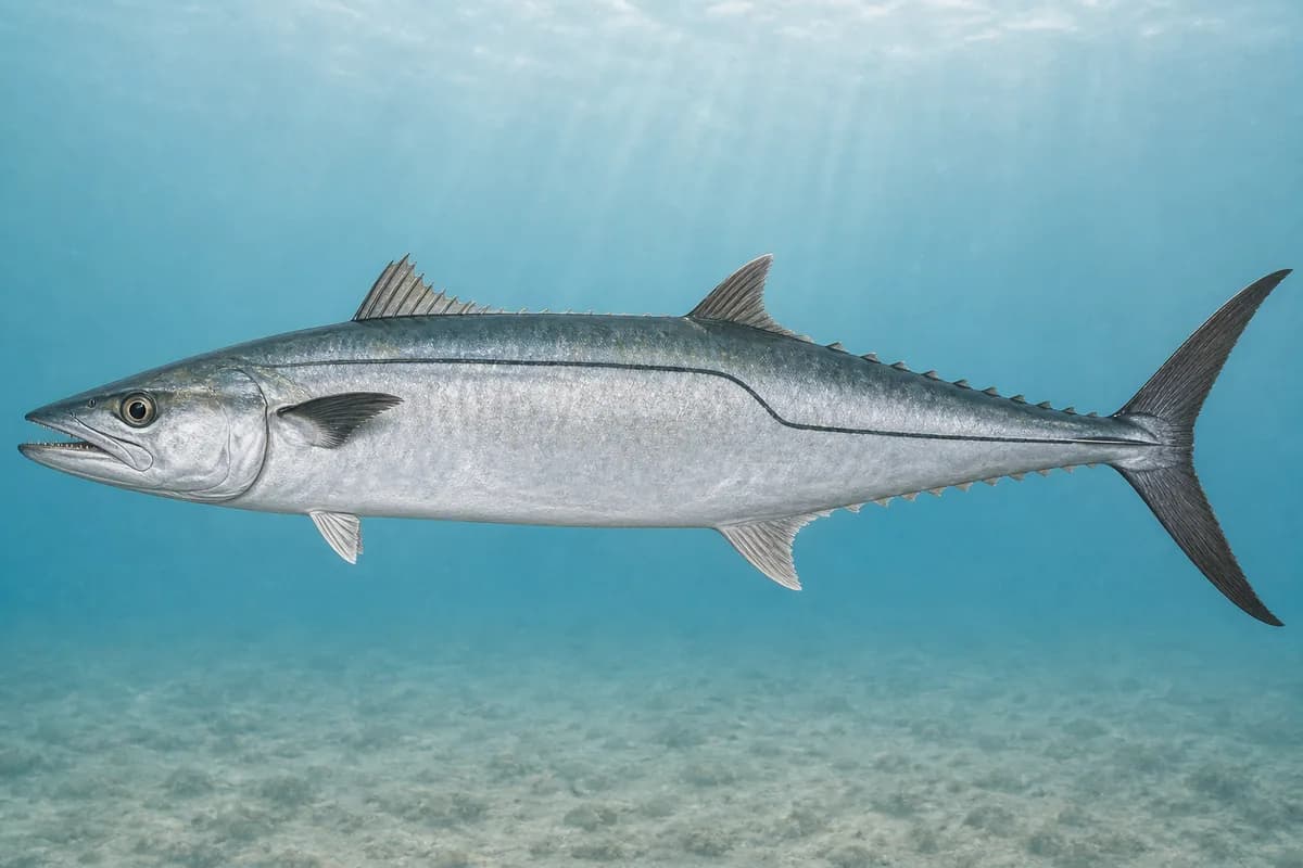
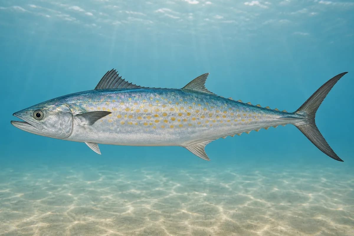
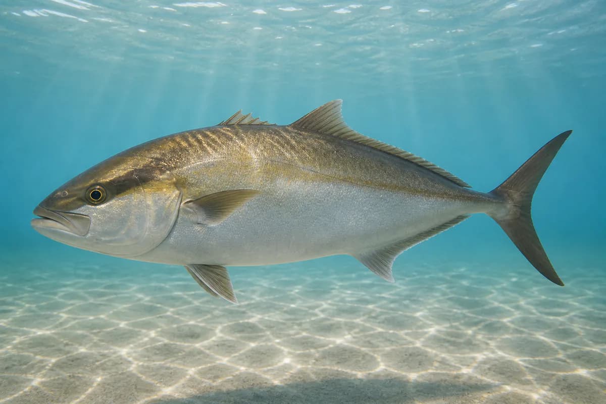
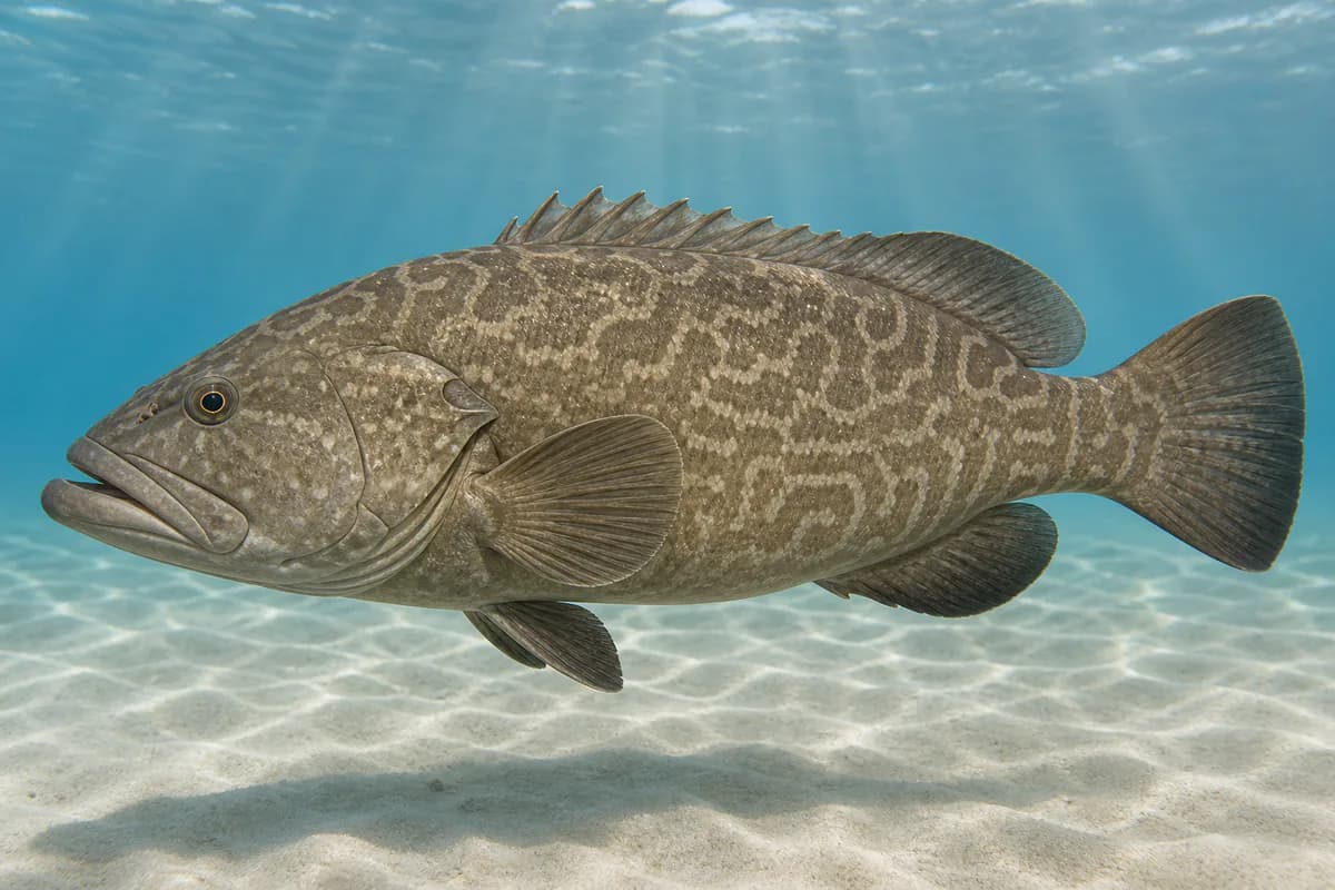
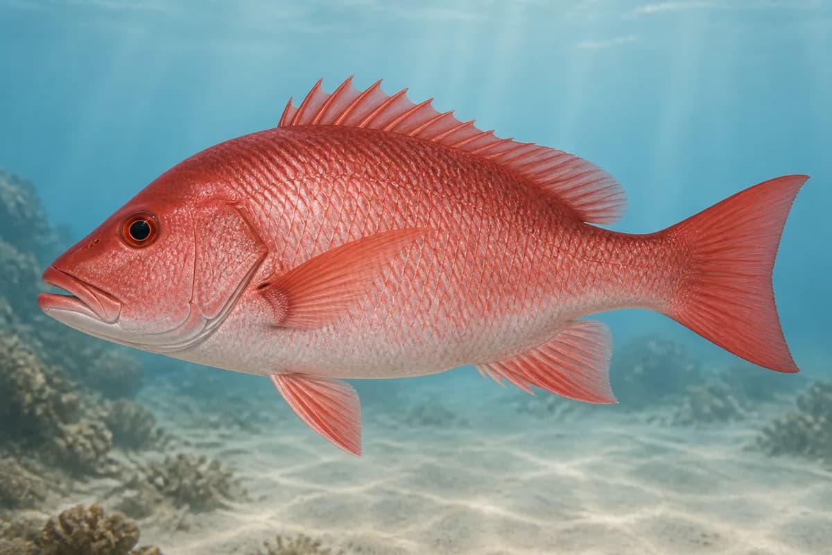
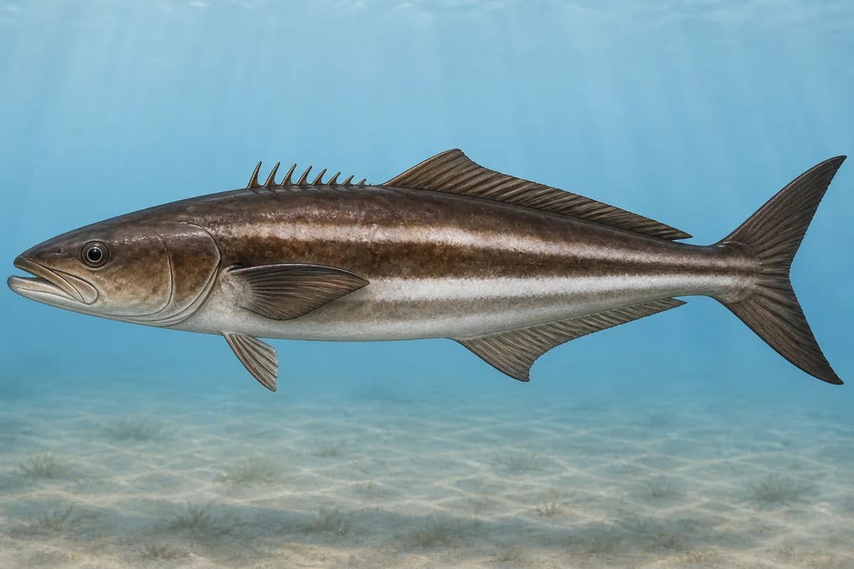
Species images are AI-generated illustrations for visual reference and may simplify natural variation. Fishery records are based on the cited agency and editorial sources. About fish illustrations
Scomberomorus cavalla
Typical seasonal opportunity: SPRING — FALL
Scomberomorus maculatus
Typical seasonal opportunity: SPRING — EARLY SUMMER
Greater amberjack
PrimaryRegulations vary annuallySeriola dumerili
Typical seasonal opportunity: SUMMER
Gag grouper
SecondaryRegulations vary annuallyMycteroperca microlepis
Also called Gag
Typical seasonal opportunity: WINTER — SPRING
Lutjanus campechanus
No seasonal pulse known
Rachycentron canadum
No seasonal pulse known
Typical Seasonal Targets
- King mackerel — SPRING — FALL
- Spanish mackerel — SPRING — EARLY SUMMER
- Greater amberjack — SUMMER
- Gag grouper — WINTER — SPRING
Seasonal presence is general guidance and does not indicate current fish activity.
Access, Safety and Regulations
Access
Offshore boat from Crystal Coast / Harkers Island / Morehead.
Primary hazards
Shoal breakers and shifting sand. These are the named offshore shoals.
Fishery considerations
- Beaufort Inlet currents are not this shoal's local current.
- Regional NWS.
Regulations
Size limits, seasons, and possession rules change. Verify the current official regulations before fishing.
Fishery Sources
Editorial and agency sources supporting this fishery profile. Live and predicted conditions use the separate Data Sources section.
Location and Access
Offshore · North Carolina
This marker is the mapped fishing area. It is not a boat ramp, a parking area, or a place to drive to.