
Reservoir · Lewis, West Virginia
Stonewall Jackson Lake near Weston
Location Snapshot
Stonewall Jackson Lake near Weston is a central West Virginia reservoir with wooded coves, points, creek channels, and warmwater habitat. Largemouth bass, smallmouth bass, and channel catfish are the principal supported targets.
Current Lake Rating
Unavailable
A condition rating is not available from the current lake evidence.
Rating confidence: Low
Should I Go?
Not Enough Data
Fishing guidance for this destination based on available lake conditions, weather, and seasonal context. It is not a boating, swimming, ice, or access-safety rating.
Why
- Not enough current water information is available to recommend a reliable fishing window
- Live water observations could not be retrieved at this time.
Current Readings
Key lake readings are not available right now.
Better Nearby Options
Checking nearby StrikeTracks waters…
Weather Near Lake
Current Weather
Clear
Temperature
36°F
Feels like
30°F
Wind
4 mph E
Wind gust
5 mph
Current precipitation
0.00 in
Updated
Oct 20, 2026, 7:45 AM
Recent Rainfall
Estimated precipitation near this lake
Last 6 hours
0.00 in
Last 24 hours
0.00 in
Last 48 hours
0.00 in
Little recent rainfall near this lake.
Next 24 Hours
Tue 8 AM
Clear
Temp 36°F
Chance 0%
Precip 0.00 in
Wind 3 mph
Tue 12 PM
Clear
Temp 56°F
Chance 0%
Precip 0.00 in
Wind 4 mph
Tue 4 PM
Clear
Temp 63°F
Chance 0%
Precip 0.00 in
Wind 4 mph
Tue 8 PM
Overcast
Temp 53°F
Chance 0%
Precip 0.00 in
Wind 3 mph
Wed 12 AM
Clear
Temp 47°F
Chance 0%
Precip 0.00 in
Wind 3 mph
Wed 4 AM
Clear
Temp 43°F
Chance 0%
Precip 0.00 in
Wind 3 mph
Four-Day Forecast
Tue, Oct 20
Overcast
High 63°F / Low 35°F
Chance 0%
Precip 0.00 in
Max gust 12 mph
Wed, Oct 21
Clear
High 62°F / Low 39°F
Chance 0%
Precip 0.00 in
Max gust 9 mph
Thu, Oct 22
Clear
High 63°F / Low 40°F
Chance 0%
Precip 0.00 in
Max gust 7 mph
Fri, Oct 23
Clear
High 67°F / Low 42°F
Chance 0%
Precip 0.00 in
Max gust 9 mph
Weather and rainfall are estimated for this lake's coordinates. Local conditions can vary, especially in mountainous terrain and during isolated storms.
Recent rainfall can influence lake level and access, but the timing and magnitude depend on watershed size, soil conditions, and reservoir operations where applicable.
Weather data: Open-Meteo
Reservoir Elevation History
Elevation is reported relative to the datum used by this USGS monitoring site. Elevations from different lakes or datums should not be directly compared.
Loading historical elevation…
Fishery Profile
Documented species you may encounter at Stonewall Jackson Lake.
Species images are AI-generated illustrations for visual reference and may simplify natural variation. Fishery records are based on the cited agency sources. About fish illustrations
Fishery overview
Largemouth bass are primary and wild in Stonewall Jackson Lake near Weston. Channel catfish and smallmouth bass are common and wild.
Target species
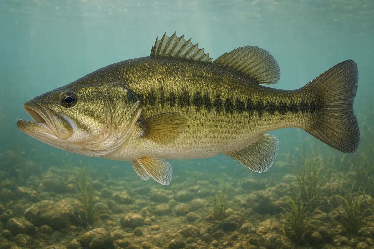
Largemouth Bass
Micropterus nigricans
- Expectation
- Primary
- Population
- Wild
- Native status
- introduced
- Confidence
- High confidence
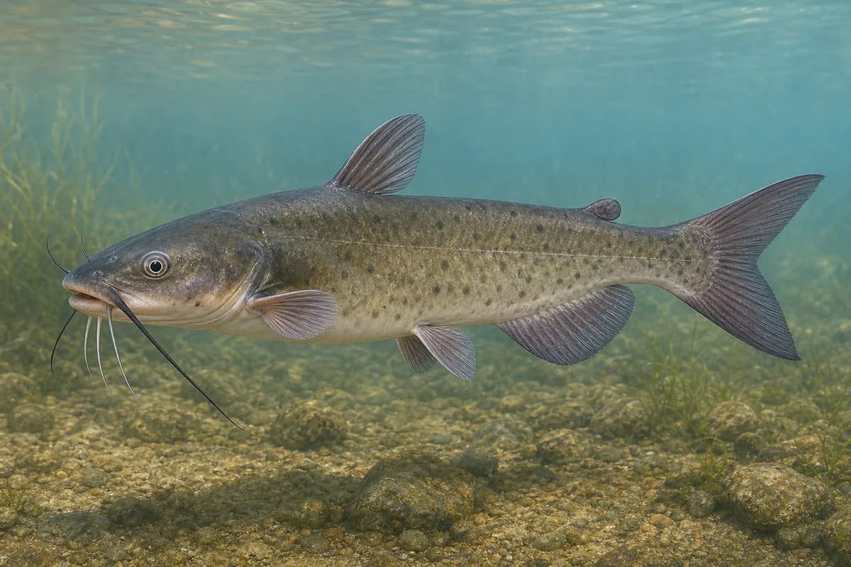
Channel Catfish
Ictalurus punctatus
- Expectation
- Common
- Population
- Wild
- Native status
- native
- Confidence
- High confidence
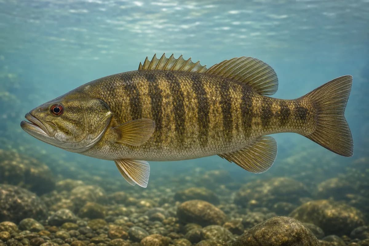
Smallmouth Bass
Micropterus dolomieu
- Expectation
- Common
- Population
- Wild
- Native status
- native
- Confidence
- High confidence
Fishery characteristics
- Composition
- Mixed wild and stocked
- Great Lakes tributary
- No
- Flow regime
- Regulated flow
Best seasons
- Spring
- Summer
- Fall
Common techniques
- Boat fishing
- Shore fishing
- Spinning
Official sources
Location and Access
Cataloged lake location
Lewis, West Virginia
The map marker represents the cataloged waterbody or monitoring location and may not indicate legal parking or public access. Confirm access through the official information before visiting.
Lake Details
County
Lewis
Target Species
largemouth-bass, smallmouth-bass, channel-catfish