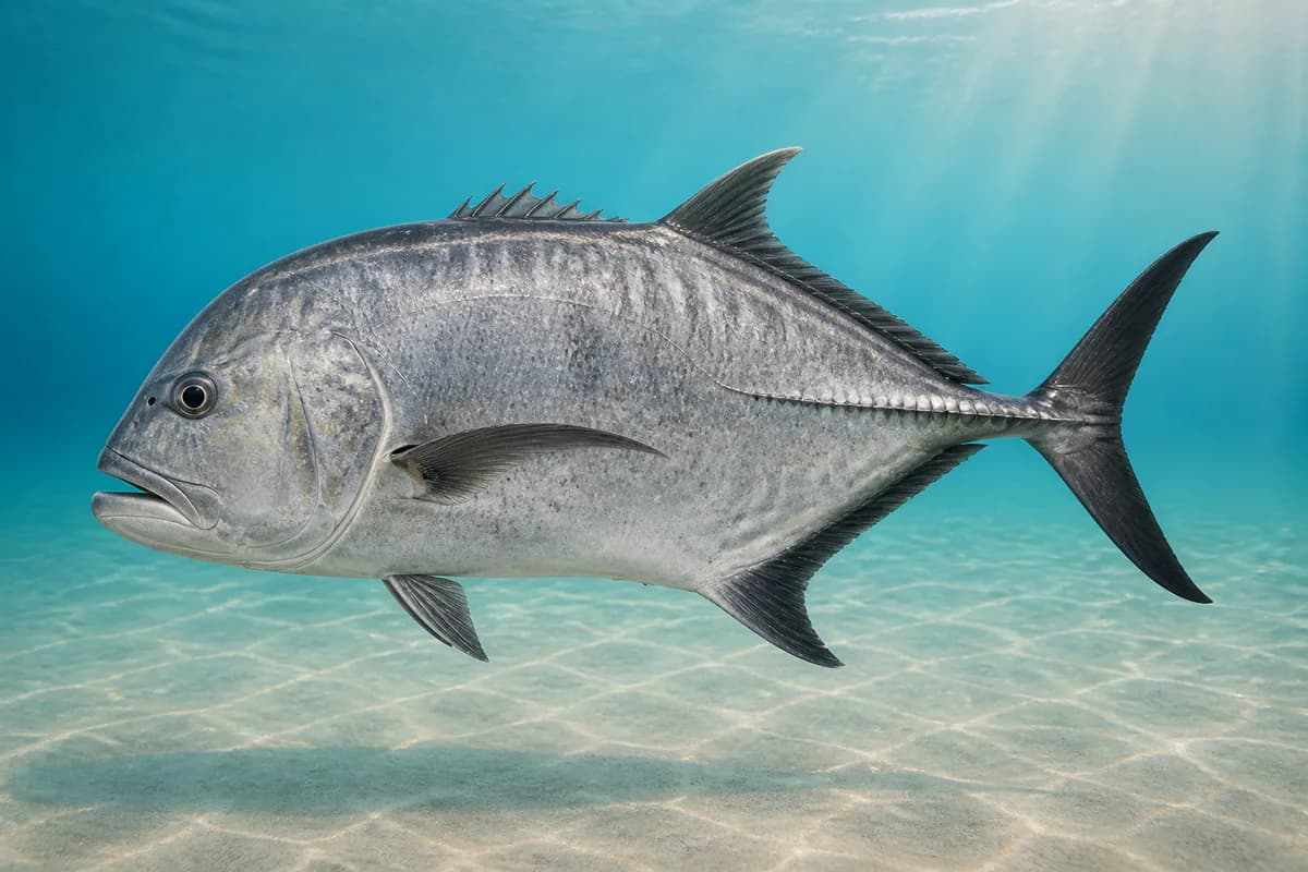
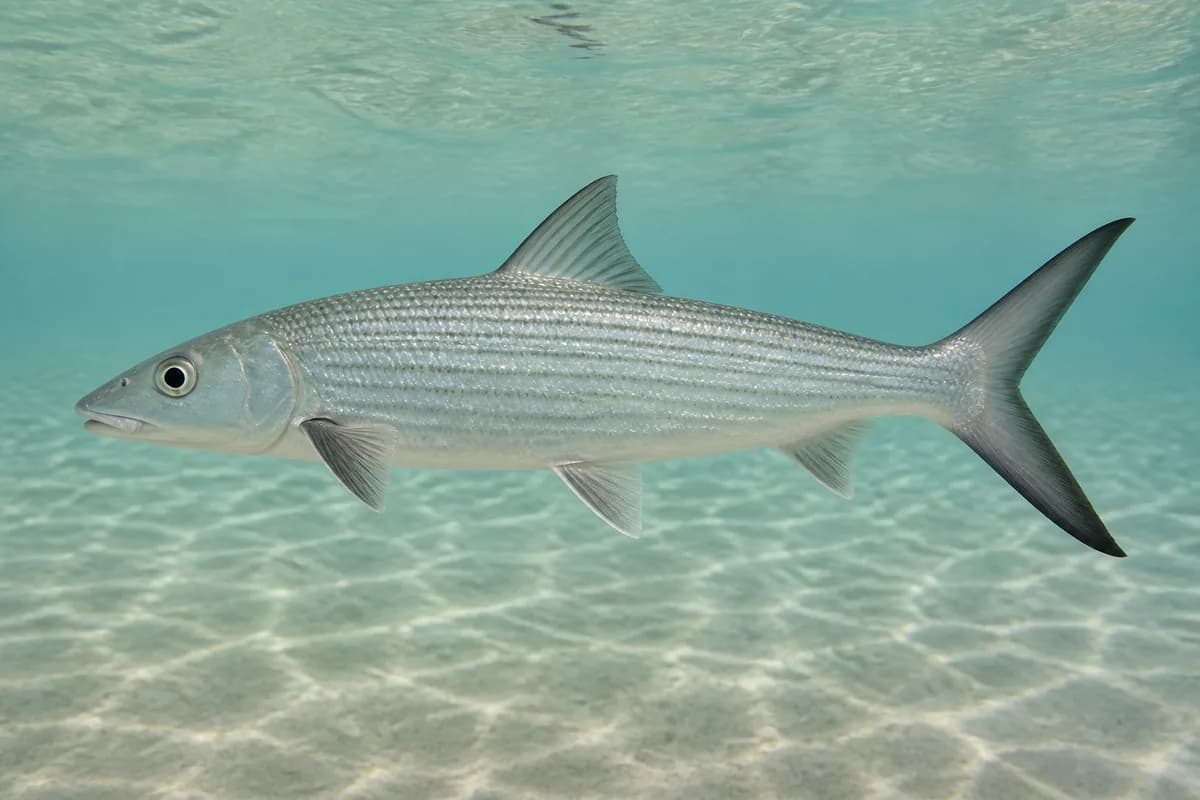
Waikiki / Diamond Head is a south Oahu shore fishery built around reef flats, channels, sandy pockets, and exposed reef edges rather than harbor water. Bonefish and giant trevally are principal gamefish targets, with a broader reef-fish community adding nearshore variety.
Active coastal or marine alerts
Small Craft Advisory
Severity: Minor
Small Craft Advisory issued October 19 at 8:37PM HST until October 20 at 6:00PM HST by NWS Honolulu HI
Begins Oct 19, 2026, 8:37 PM · Ends Oct 20, 2026, 6:00 PM
Inexperienced mariners, especially those operating smaller vessels, should avoid navigating in these conditions.
This nearby station is used for tide timing. Predicted height does not represent exact water depth or exposed-flat conditions at this destination.
Predicted Tidal Current
Predicted
Tidal-current predictions are not available for this destination.
Tidal-current timing can differ from high and low tide timing.
Fishery Profile
Fishery Overview
Waikiki / Diamond Head reef-shore fishery
A south-Oahu public reef and shore fishery from Ala Wai / Waikiki to Diamond Head. Primary targets are ulua/papio and reef fishes under DAR size and bag rules. Hanauma Bay MLCD is excluded and is not part of this location. Distinct from Kewalo charter water.
Fishery type
Reef
Shore
Fishing modes
Shore
Wade
Habitat and structure
Public reef and rocky shore from Waikiki toward Diamond Head · Nearshore reef edges and channels · Not Hanauma Bay no-take water
Static seasonal guidance · Last reviewed Aug 31, 2026
Not a live bite forecast.
Fishery Targets
Ulua/papio are year-round DAR-managed reef targets.
Species images are AI-generated illustrations for visual reference and may simplify natural variation. Fishery records are based on the cited agency and editorial sources. About fish illustrations
Ulua / papio
Primary
Caranx ignobilis
Also called Ulua
No seasonal pulse known
South-shore reef and rocky point jack fishery. DAR size/bag apply. Harvest dates follow the current regulations.
Bonefish (oio)
Secondary
Albula vulpes
No seasonal pulse known
Occasional south-shore flats/edge fishing. Kaneohe Bay remains the primary oio.
Seasonal timing is not defined for every target.
Access, Safety and Regulations
Access
Public shore access. Confirm DAR marine license and any beach-park rules. Hanauma Bay MLCD is excluded. Kewalo docks belong to honolulu-kewalo.
Primary hazards
Reef cuts, shorebreak, and crowded swimming areas. Do not enter Hanauma no-take water.
Fishery considerations
Tide is NOAA 1612340 Honolulu, nearby harbor tide. 51211 is nearby south-shore energy.
South-shore swell and trades.
Regulations
Size limits, seasons, and possession rules change. Verify the current official regulations before fishing.
The map marker represents the cataloged waterbody or monitoring location and may not indicate legal parking or public access. Confirm access through the official information before visiting.