St. Johns Inlet at Mayport is a northeast Florida inlet fishery where long jetties and deep ship-channel water connect the St. Johns River with the Atlantic. Red drum, spotted seatrout, sheepshead, southern flounder, spanish mackerel, and bluefish are the principal supported targets.
Active coastal or marine alerts
Small Craft Advisory
Severity: Minor
Small Craft Advisory issued October 20 at 2:25AM EDT until October 22 at 8:00PM EDT by NWS Jacksonville FL
Begins Oct 20, 2026, 2:25 AM · Ends Oct 22, 2026, 8:00 PM
Inexperienced mariners, especially those operating smaller vessels, should avoid navigating in hazardous conditions.
These values are tidal-current predictions, not real-time observed currents. They describe conditions near this prediction station rather than the entire surrounding coastal area.
Data coverage
This station provides max-current and slack-water events, but not a continuous current-speed timeline.
Tidal-current timing can differ from high and low tide timing.
Fishery Profile
Fishery Overview
St. Johns Inlet at Mayport jetty and pass fishery
A First Coast Atlantic river-mouth fishery at the St. Johns Inlet. Huguenot Memorial Park provides public access to the north St. Johns jetties, where red drum, spotted seatrout, sheepshead, southern flounder, Spanish mackerel, and bluefish use the pass between the St. Johns River and the Atlantic. Johns Inlet at Mayport.
Fishery type
River mouth jetty pass
Fishing modes
Shore
Inshore boat
Habitat and structure
North St. Johns River jetties reached from Huguenot Memorial Park · St. Johns Inlet / Mayport ship channel between the river and the Atlantic · Beach, inlet, and river margins of the Huguenot peninsula
Static seasonal guidance · Last reviewed Aug 15, 2026
Not a live bite forecast.
Fishery Targets
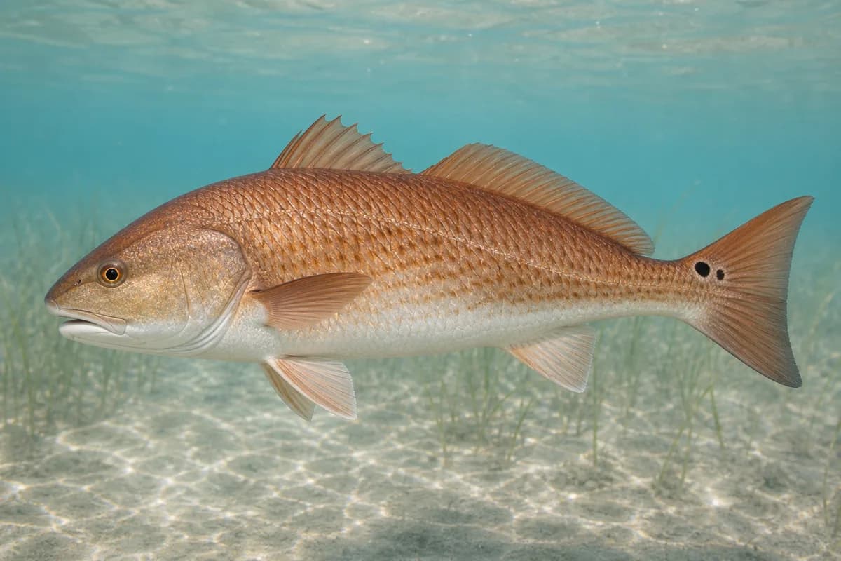
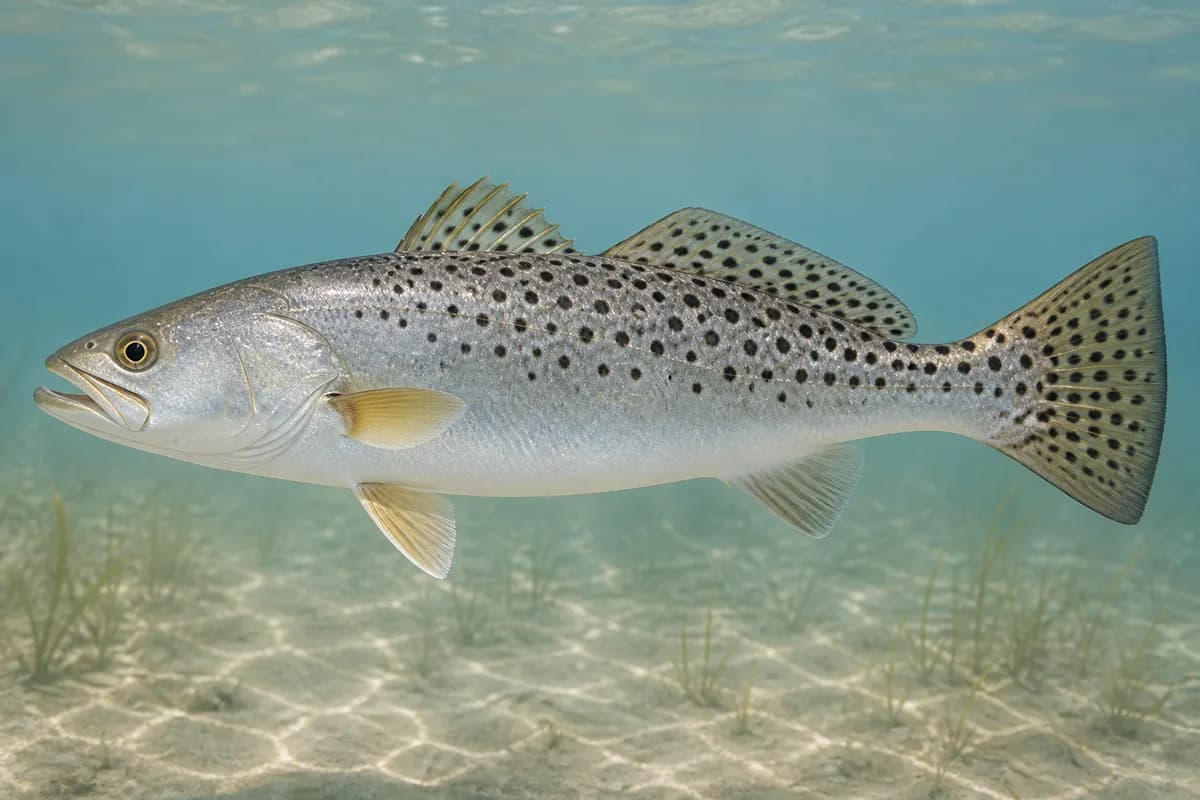
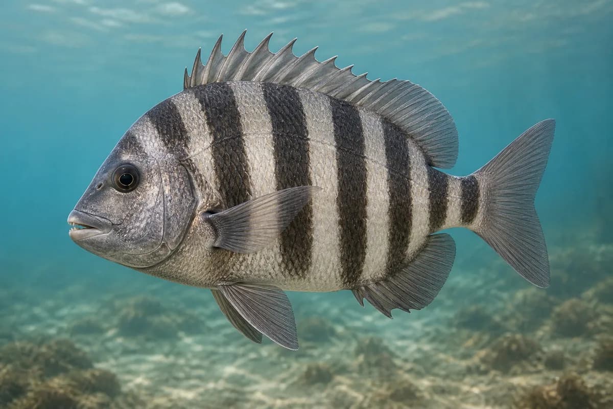
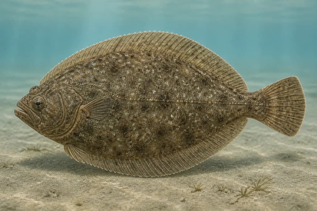
Red drum, spotted seatrout, sheepshead, southern flounder, Spanish mackerel, and bluefish are First Coast river-mouth and jetty targets at Mayport. Common snook is omitted: FWC places Atlantic abundance from about Cape Canaveral south. Listed species are not equally available every month. Seasonal notes describe typical presence.
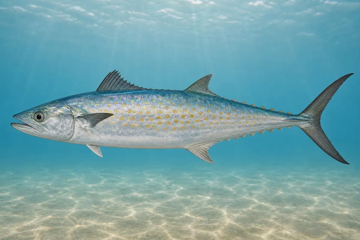
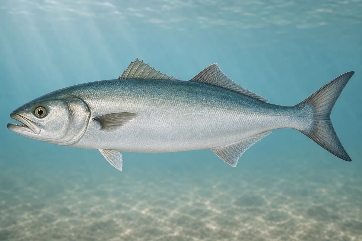
Species images are AI-generated illustrations for visual reference and may simplify natural variation. Fishery records are based on the cited agency and editorial sources. About fish illustrations
Red drum
Primary
Sciaenops ocellatus
Also called Redfish
No seasonal pulse known
FWC Northeast red-drum region includes this river mouth and inlet class.
Spotted seatrout
Primary
Cynoscion nebulosus
No seasonal pulse known
First Coast estuary/pass seatrout. FWC habitat applies.
Sheepshead
Secondary
Archosargus probatocephalus
No seasonal pulse known
Jetty-rock and piling class at the north jetties.
Southern flounder
Secondary
Paralichthys lethostigma
No seasonal pulse known
These fish use the river mouth and the inlet.
Spanish mackerel
Secondary
Scomberomorus maculatus
No seasonal pulse known
FWC: absent from north Florida waters in winter. First Coast nearshore/jetty fishing is part of this fishery.
Bluefish
Secondary
Pomatomus saltatrix
No seasonal pulse known
Atlantic jetty and river-mouth migratory class at Mayport.
Seasonal timing is not defined for every target.
Access, Safety and Regulations
Access
Public shore fishing is Huguenot Memorial Park (10980 Heckscher Drive, Jacksonville). JaxParks lists fishing among park amenities; park rules require FWC saltwater licenses. The park is the north-jetty / Big Jetties approach and allows beach driving in designated areas — confirm current hours, fees, beach-driving, and bird-closure postings. This destination does not advertise Mayport Naval Station south jetties as public pedestrian access.
Primary hazards
Mayport is a working naval and commercial river mouth. Ship wakes, inlet current, slick granite, lightning, and beach-driving tide traps are the primary hazards.
Fishery considerations
St. Johns Inlet current is the fishing context.
Northeast wind against ebb can stack the bar. A local wave reading is not available here.
Regulations
Size limits, seasons, and possession rules change. Verify the current official regulations before fishing.
The map marker represents the cataloged waterbody or monitoring location and may not indicate legal parking or public access. Confirm access through the official information before visiting.