Portsmouth / Piscataqua River is a powerful tidal-river and harbor-entrance fishery linking Portsmouth Harbor, the Piscataqua, and Great Bay. Strong exchange through the entrance and river bends shapes a mobile nearshore fishery for striped bass, bluefish, and Atlantic mackerel across both river and harbor water.
Active coastal or marine alerts
Small Craft Advisory
Severity: Minor
Small Craft Advisory issued October 20 at 2:34AM EDT until October 21 at 6:00PM EDT by NWS Gray ME
Begins Oct 20, 2026, 6:00 AM · Ends Oct 21, 2026, 6:00 PM
Inexperienced mariners, especially those operating smaller vessels, should avoid navigating in hazardous conditions.
These values are tidal-current predictions, not real-time observed currents. They describe conditions near this prediction station rather than the entire surrounding coastal area.
Tidal-current timing can differ from high and low tide timing.
Fishery Profile
Fishery Overview
Portsmouth / Piscataqua tidal river and harbor entrance
A powerful tidal-river fishery linking Portsmouth Harbor, the Piscataqua River, and Great Bay. Strong exchange at the harbor entrance and river bends shapes the fishing more than a single island or isolated shoreline.
Fishery type
Tidal river
Harbor entrance
Fishing modes
Shore
Inshore boat
Habitat and structure
Tidal river bends and channel edges · Great Bay outflow · Harbor entrance current seams · Rocky shore and nearshore hard bottom
Static seasonal guidance · Last reviewed Jul 20, 2026
Not a live bite forecast.
Fishery Targets
Striped bass and bluefish follow the warm-season bait cycle, with mackerel providing cool-water seasonal action. Tautog are a secondary hard-bottom option.
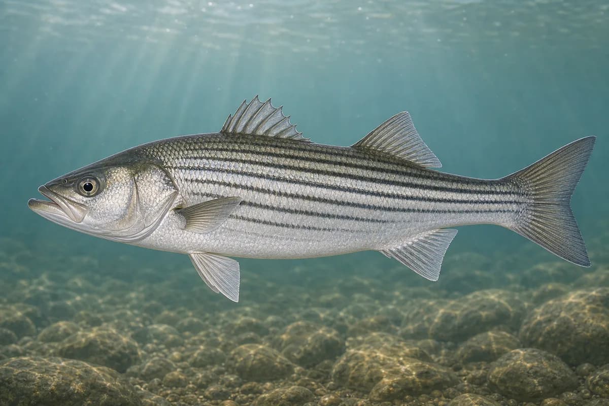
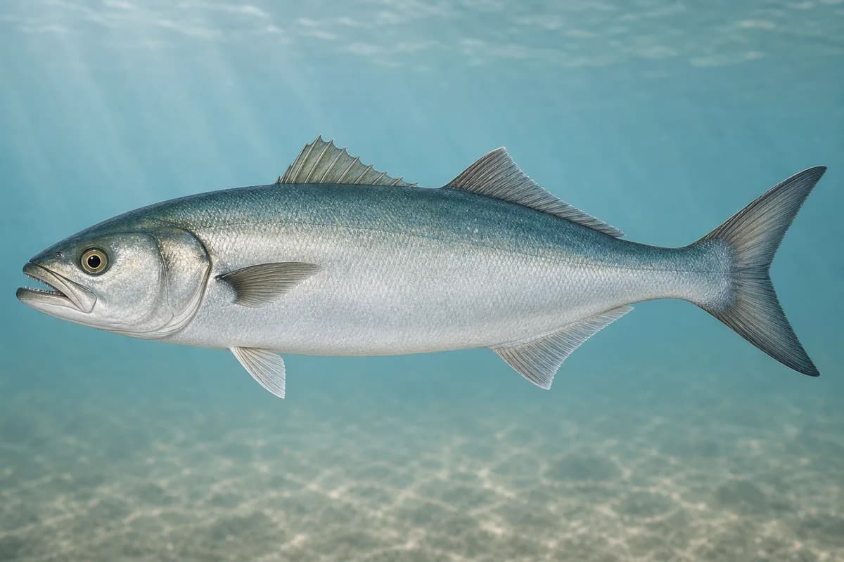
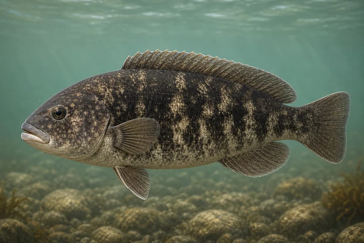
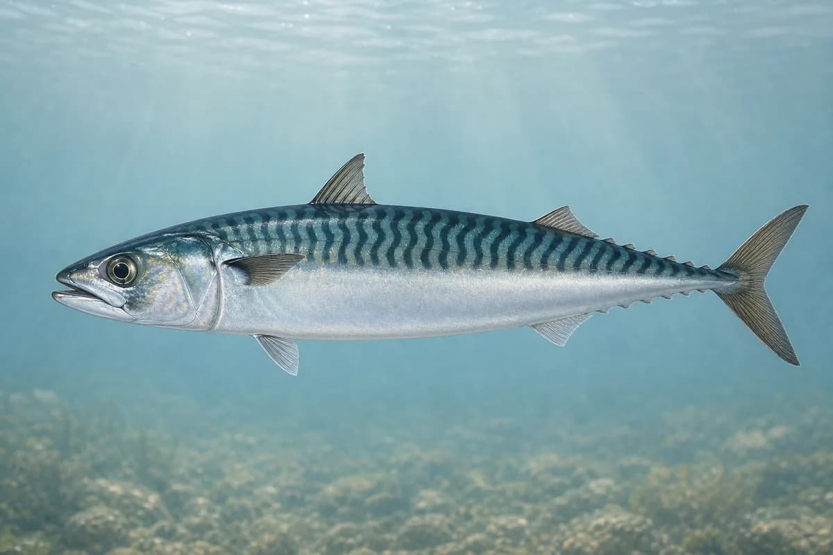
Species images are AI-generated illustrations for visual reference and may simplify natural variation. Fishery records are based on the cited agency and editorial sources. About fish illustrations
Striped bass
Primary
Morone saxatilis
Currently in a typical seasonal window
Typical seasonal window: MAY — NOVEMBER
Bluefish
Primary
Pomatomus saltatrix
Currently in a typical seasonal window
Typical seasonal window: JUNE — OCTOBER
Tautog
Secondary
Tautoga onitis
Currently in a typical seasonal window
Typical seasonal window: APRIL — MAY; SEPTEMBER — NOVEMBER
Atlantic mackerel
Seasonal
Scomber scombrus
Currently in a typical seasonal window
Typical seasonal window: APRIL — JUNE; SEPTEMBER — OCTOBER
Typical Seasonal Targets
Striped bass — MAY — NOVEMBER
Bluefish — JUNE — OCTOBER
Tautog — APRIL — MAY; SEPTEMBER — NOVEMBER
Atlantic mackerel — APRIL — JUNE; SEPTEMBER — OCTOBER
Seasonal presence is general guidance and does not indicate current fish activity.
How to Fish Portsmouth / Piscataqua River
Typical October approaches include tidal-river seam casting and entrance structure and mackerel work for Striped bass and Bluefish.
Tidal-river seam casting
Present plugs or jigs at eddies and seams beside the primary river flow.
Best for
Striped bass
Bluefish
Modes
Shore
Inshore boat
Setup
River-seam casting setup
Entrance structure and mackerel work
Fish hard-bottom pockets or cast metals when mackerel show near the entrance.
Best for
Tautog
Atlantic mackerel
Modes
Shore
Inshore boat
Setup
Entrance structure setup
Common Tackle Setups
River-seam casting setup
Current-capable shore or boat spinning setup.
Rod
7–9 ft medium-heavy spinning rod.
Reel
Reliable-drag spinning reel.
Main line
Braid for current control.
Leader
Abrasion-resistant leader.
Terminal tackle
Snaps for plugs and jigs.
Presentation
Let the current carry the lure through seams before retrieving.
Used for
Tidal-river seam casting
Entrance structure setup
Bottom and metal setup for hard bottom and seasonal mackerel.
Rod
Medium-heavy rod for bottom contact and metals.
Reel
Compact reel with smooth drag.
Main line
Braid.
Leader
Short abrasion-resistant leader.
Terminal tackle
Jigs sized to hold in current.
Presentation
Fish only when flow allows a controlled presentation.
Used for
Entrance structure and mackerel work
Typical October Lures and Flies
Common lure and fly families associated with this month’s techniques.
Minnow-style swimming plug
Lure
Striped bass
Bluefish
Shallow to midwater · Steady, twitch, pause
Cast across seams and let the plug track with the current
Soft-plastic sand eel
Lure
Striped bass
Bluefish
Shallow to midwater · Steady, twitch, slow
Swim or twitch just above the bottom on flats and bar edges
Hop, swim, or drift depending on depth and current speed
Tautog jig
Lure
Tautog
Bottom · Jig, slow
Keep the jig close to structure and move it in short lifts
Diamond-style jig
Lure
Atlantic mackerel
Midwater to variable · Jig, fast, steady
Cast and retrieve with a steady or pulsed cadence through bait schools
General seasonal guidance, not a live recommendation, product endorsement, or guarantee of success.
Access, Safety and Regulations
Access
Use designated public shore sites and launches; much of the waterfront is private, working, or restricted.
Primary hazards
Fast current, commercial traffic, and limited shoreline exits require conservative timing. Seavey Island is not the geography of this fishery.
Fishery considerations
The Piscataqua has strong, rapidly changing current; tide direction, river flow, and Great Bay exchange govern both fish position and safe boat control.
Wind opposing ebb or flood can make the entrance steep and confused.
Regulations
Size limits, seasons, and possession rules change. Verify the current official regulations before fishing.
The map marker represents the cataloged waterbody or monitoring location and may not indicate legal parking or public access. Confirm access through the official information before visiting.