New Haven / West Haven is a Southern New England harbor fishery shaped by breakwaters, tidal channels, harbor edges, and western Long Island Sound water. Striped bass and bluefish are the principal supported targets, giving the destination a focused migratory inshore-predator identity.
Active coastal or marine alerts
Small Craft Advisory
Severity: Minor
Small Craft Advisory issued October 20 at 5:51AM EDT until October 21 at 6:00PM EDT by NWS Upton NY
Begins Oct 21, 2026, 12:00 AM · Ends Oct 21, 2026, 6:00 PM
Inexperienced mariners, especially those operating smaller vessels, should avoid navigating in hazardous conditions.
These values are tidal-current predictions, not real-time observed currents. They describe conditions near this prediction station rather than the entire surrounding coastal area.
Tidal-current timing can differ from high and low tide timing.
Fishery Profile
Fishery Overview
New Haven / West Haven harbor and central Sound fishery
A central Long Island Sound fishery of urban harbor edges, beaches, tidal-river mouths, and nearshore hard bottom. It favors shore and protected inshore-boat approaches rather than open-ocean surf tactics.
Fishery type
Sound harbor
Estuary
Fishing modes
Shore
Inshore boat
Habitat and structure
Harbor breakwaters and bulkheads · Urban beaches and tidal-river mouths · Nearshore hard bottom · Soft-bottom channel edges
Static seasonal guidance · Last reviewed Jul 20, 2026
Not a live bite forecast.
Fishery Targets
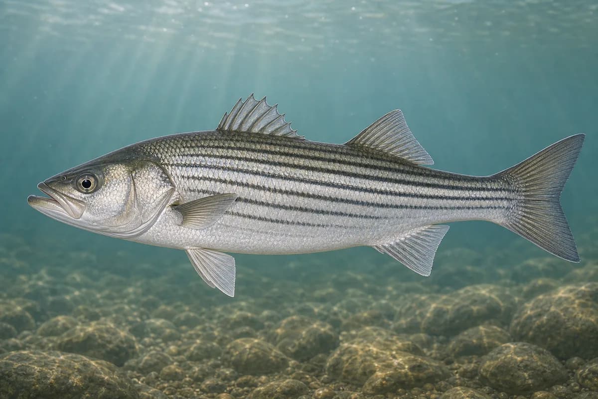
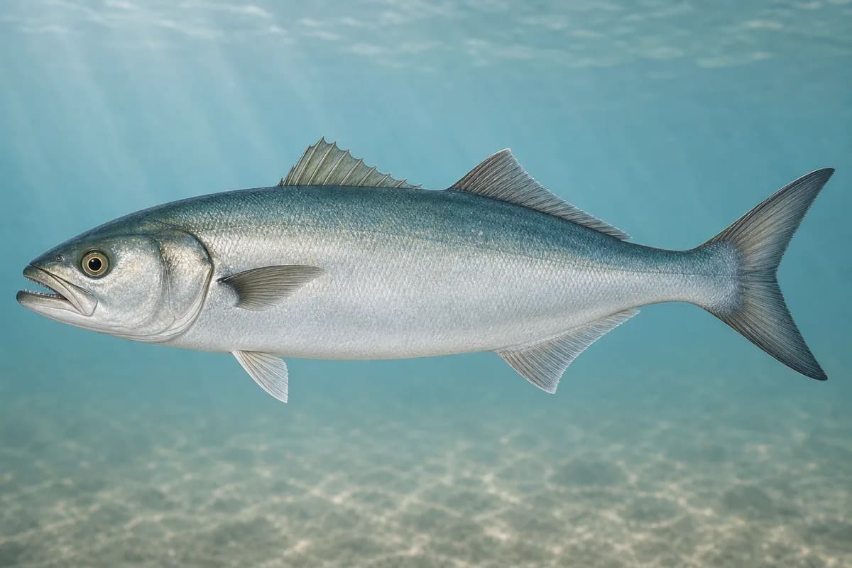
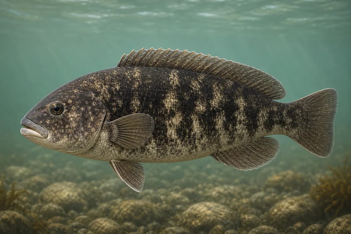
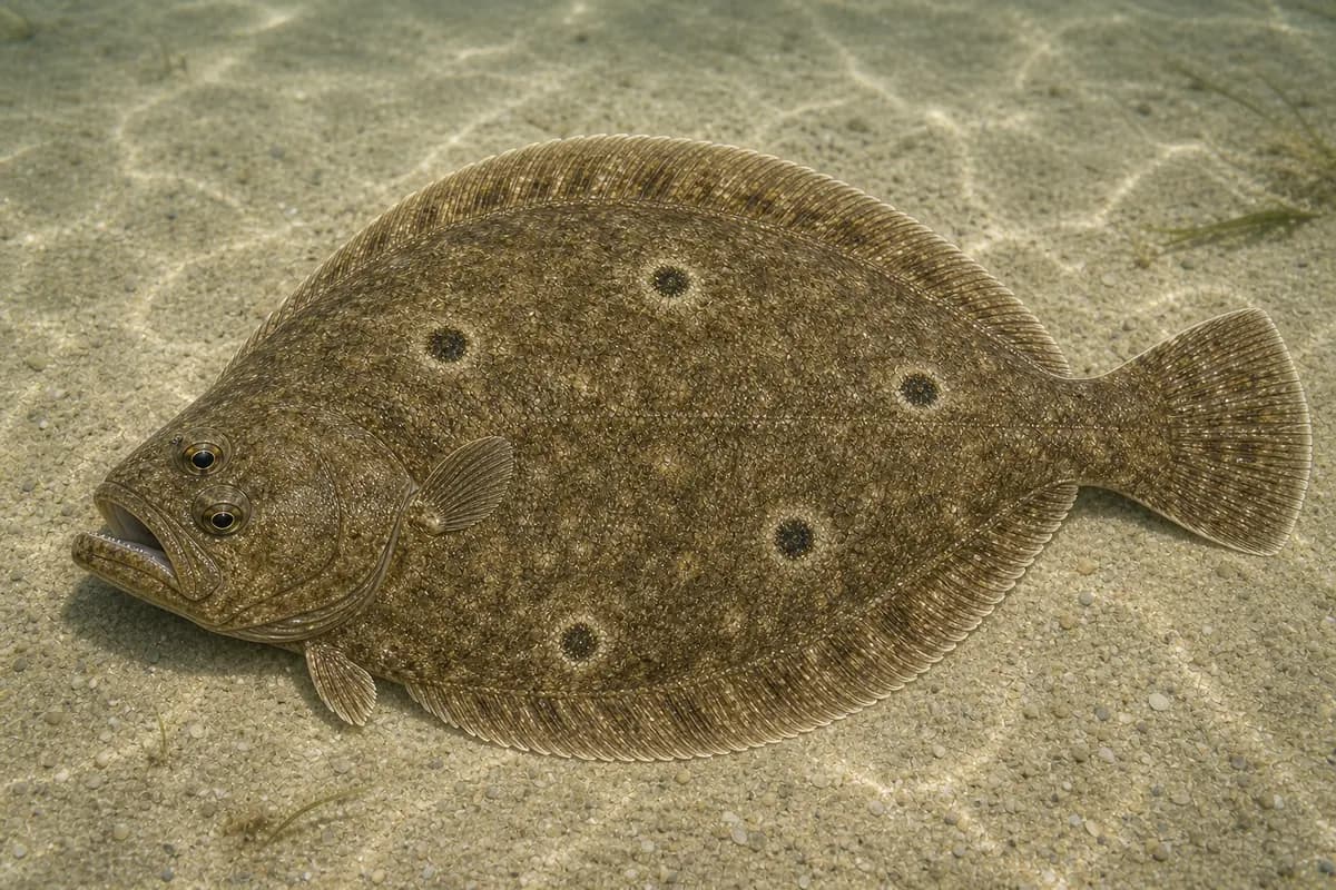
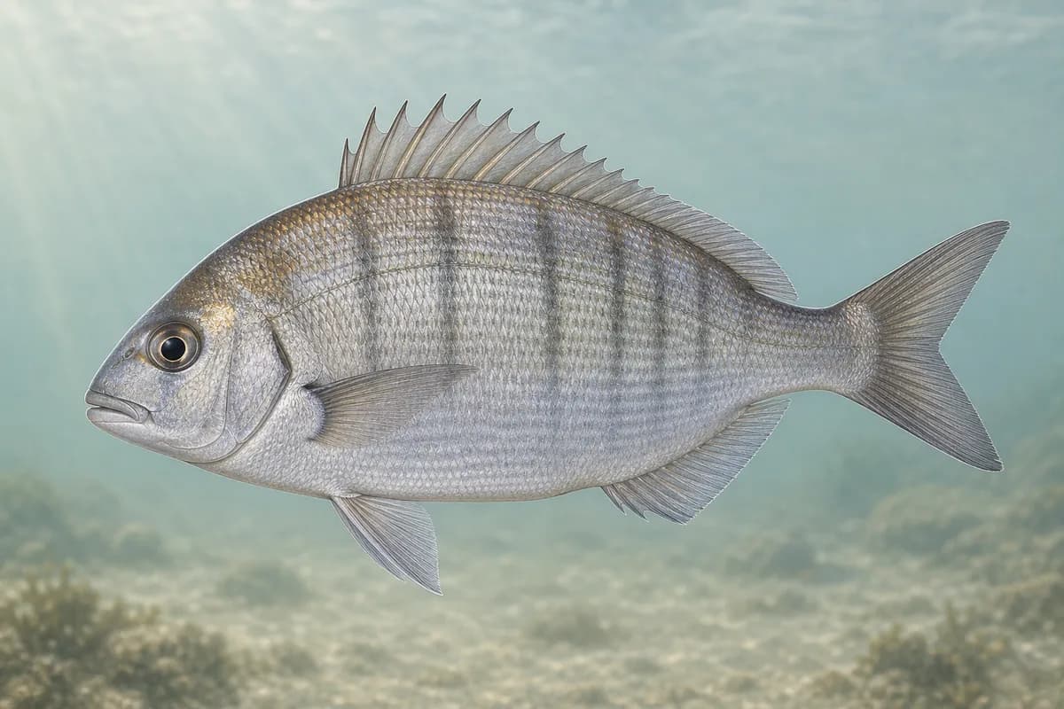
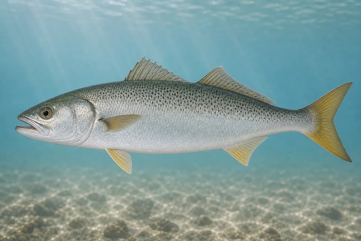
Striped bass and bluefish define the warm-season fishery. Tautog, scup, and summer flounder add structure and channel opportunities, while weakfish can be a short seasonal presence.
Species images are AI-generated illustrations for visual reference and may simplify natural variation. Fishery records are based on the cited agency and editorial sources. About fish illustrations
Striped bass
Primary
Morone saxatilis
Currently in a typical seasonal window
Typical seasonal window: MAY — NOVEMBER
Bluefish
Primary
Pomatomus saltatrix
Currently in a typical seasonal window
Typical seasonal window: JUNE — OCTOBER
Tautog
Secondary
Tautoga onitis
Currently in a typical seasonal window
Typical seasonal window: APRIL — MAY; SEPTEMBER — NOVEMBER
Summer flounder
Secondary
Paralichthys dentatus
Typical seasonal window: MAY — SEPTEMBER
Scup
Secondary
Stenotomus chrysops
Currently in a typical seasonal window
Typical seasonal window: MAY — OCTOBER
Weakfish
Seasonal
Cynoscion regalis
Typical seasonal window: JUNE — SEPTEMBER
Localized seasonal presence when bait and temperature align.
Typical Seasonal Targets
Striped bass — MAY — NOVEMBER
Bluefish — JUNE — OCTOBER
Tautog — APRIL — MAY; SEPTEMBER — NOVEMBER
Summer flounder — MAY — SEPTEMBER
Scup — MAY — OCTOBER
Weakfish — JUNE — SEPTEMBER
Seasonal presence is general guidance and does not indicate current fish activity.
How to Fish New Haven / West Haven
Typical October approaches include harbor-edge casting and harbor structure and edge fishing for Striped bass and Bluefish.
Harbor-edge casting
Work plugs and soft plastics through harbor seams, beach troughs, and river-mouth mixing water.
Best for
Striped bass
Bluefish
Modes
Shore
Inshore boat
Setup
Harbor casting setup
Harbor structure and edge fishing
Present jigs close to hard bottom or drift softer channel edges from a boat.
Best for
Tautog
Scup
Modes
Shore
Inshore boat
Setup
Structure and fluke setup
Common Tackle Setups
Harbor casting setup
Medium spinning tackle for baitfish presentations around harbor and beach edges.
Rod
7–9 ft medium to medium-heavy spinning rod.
Reel
Saltwater spinning reel with reliable drag.
Main line
Braid suited to casting distance.
Leader
Abrasion-resistant mono or fluorocarbon leader.
Terminal tackle
Snaps or loops for plugs and soft plastics.
Presentation
Work current seams without treating the Sound as open-ocean surf.
Used for
Harbor-edge casting
Structure and fluke setup
Bottom-oriented tackle for hard-bottom species and softer channel edges.
Rod
Medium-heavy rod for short casts and bottom contact.
Reel
Reel with power for structure.
Main line
Abrasion-resistant braid.
Leader
Short abrasion-resistant leader.
Terminal tackle
Jig heads or sinker setups.
Presentation
Keep contact near bottom while limiting snags.
Used for
Harbor structure and edge fishing
Typical October Lures and Flies
Common lure and fly families associated with this month’s techniques.
Minnow-style swimming plug
Lure
Striped bass
Bluefish
Shallow to midwater · Steady, twitch, pause
Cast across seams and let the plug track with the current
Soft-plastic paddle tail
Lure
Striped bass
Bluefish
Shallow, Midwater, Variable · Steady, twitch, jig
Swim steadily through seams or hop lightly near bottom transitions
Hop, swim, or drift depending on depth and current speed
Reef and structure jig
Lure
Tautog
Scup
Bottom · Jig, slow
Maintain near-bottom contact without burying the jig in snags
Tautog jig
Lure
Tautog
Bottom · Jig, slow
Keep the jig close to structure and move it in short lifts
General seasonal guidance, not a live recommendation, product endorsement, or guarantee of success.
Access, Safety and Regulations
Access
Use established municipal beaches, parks, and public waterfronts; private docks, restricted shoreline, and working harbor areas are not public fishing access.
The map marker represents the cataloged waterbody or monitoring location and may not indicate legal parking or public access. Confirm access through the official information before visiting.