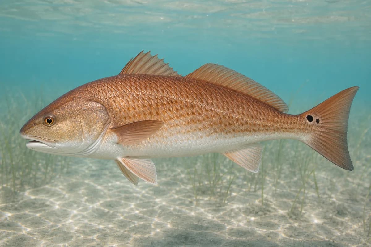
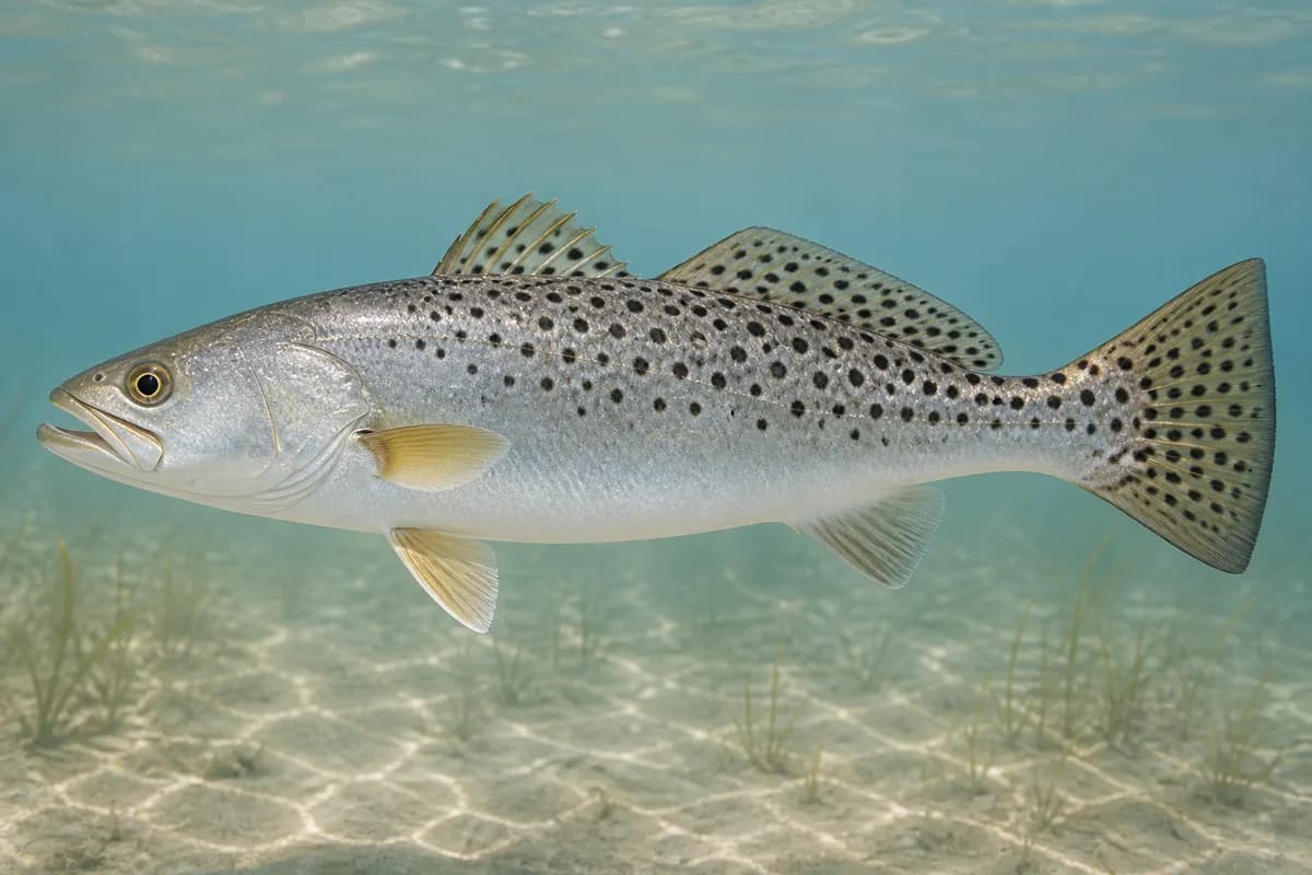
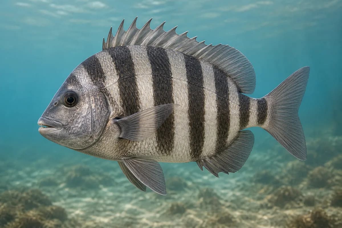
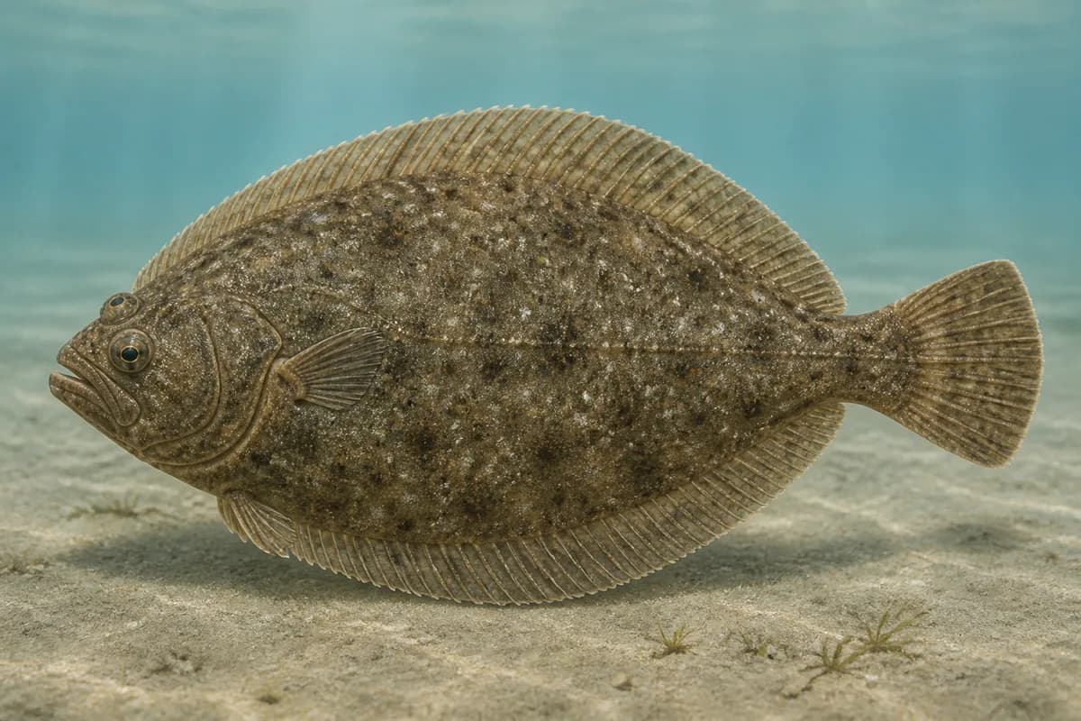
Hatteras Inlet separates Hatteras and Ocracoke islands, linking Pamlico Sound with the Atlantic through shifting channels, shoals, and adjoining coastal water. Red drum, spotted seatrout, sheepshead, and southern flounder are the principal supported targets.
Active coastal or marine alerts
Coastal Flood Warning
Severity: Severe
Coastal Flood Warning issued October 20 at 3:23AM EDT until October 21 at 8:00PM EDT by NWS Newport/Morehead City NC
Begins Oct 20, 2026, 3:23 AM · Ends Oct 21, 2026, 8:00 PM
Take the necessary actions to protect flood-prone property. If travel is required, do not drive around barricades or through water of unknown depth. Swimmers should remain out of the water due to dangerous surf conditions.
Beach Hazards Statement issued October 20 at 3:23AM EDT until October 20 at 8:00PM EDT by NWS Newport/Morehead City NC
Begins Oct 20, 2026, 8:00 AM · Ends Oct 20, 2026, 8:00 PM
Take the necessary actions to protect flood-prone property. If travel is required, do not drive around barricades or through water of unknown depth. Swimmers should remain out of the water due to dangerous surf conditions.
High Surf Advisory issued October 20 at 3:23AM EDT until October 22 at 6:00AM EDT by NWS Newport/Morehead City NC
Begins Oct 20, 2026, 3:23 AM · Ends Oct 22, 2026, 6:00 AM
Take the necessary actions to protect flood-prone property. If travel is required, do not drive around barricades or through water of unknown depth. Swimmers should remain out of the water due to dangerous surf conditions.
North Carolina · Mid-Atlantic / Northern Outer Banks · Inlet
Approximately 41.7 miles away
Predicted Tides
Predicted
Falling
Next low tide
Oct 20, 2026, 11:38 AM
In 4 hr
0.6 ft MLLW
Previous
High · Oct 20, 2026, 4:46 AM · 0.8 ft MLLW
Following
High · Oct 20, 2026, 5:04 PM · 0.7 ft MLLW
Tide prediction proxy
Hatteras (ocean) · NOAA 8654467
This nearby station is used for tide timing. Predicted height does not represent exact water depth or exposed-flat conditions at this destination.
Predicted Tidal Current
Predicted
Tidal-current predictions are not available for this destination.
Tidal-current timing can differ from high and low tide timing.
Fishery Profile
Fishery Overview
Hatteras Inlet fishery
A Hatteras Village / Hatteras Inlet fishery. This covers the inlet and village public fishing access.
Fishery type
Jetty inlet pass
Fishing modes
Shore
Inshore boat
Habitat and structure
Hatteras Inlet exchange and village-adjacent public access · Inlet bars between Hatteras Island and Ocracoke
Static seasonal guidance · Last reviewed Aug 23, 2026
Not a live bite forecast.
Fishery Targets
Red drum, spotted seatrout, sheepshead, and southern flounder are representative Hatteras Inlet targets. Seasonal timing varies by species.
This reflects typical biological/fishery timing, not a legal open season. Check current regulations before fishing.
Species images are AI-generated illustrations for visual reference and may simplify natural variation. Fishery records are based on the cited agency and editorial sources. About fish illustrations
Red drum
Primary
Sciaenops ocellatus
Also called Redfish
Typical seasonal opportunity: SPRING AND FALL
May also be present outside this peak window.
They move through the inlet and the adjacent surf.
Spotted seatrout
Primary
Cynoscion nebulosus
No seasonal pulse known
Inlet and marsh-edge fishing.
Sheepshead
Secondary
Archosargus probatocephalus
No seasonal pulse known
Jetty rock and piling structure.
Southern flounder
SecondaryRegulations vary annually
Paralichthys lethostigma
Typical seasonal opportunity: FALL
Inlet sand and channel edges.
Typical Seasonal Targets
Red drum — SPRING AND FALL
Southern flounder — FALL
Seasonal presence is general guidance and does not indicate current fish activity.
Access, Safety and Regulations
Access
Public access includes Hatteras village waterfront, ferry-area fishing where posted, and NPS/village beach access. Confirm NPS Cape Hatteras and village rules.
Primary hazards
Inlet current and ocean swell. USCG Station Hatteras meteorology is nearby context.
Fishery considerations
No qualified interval inlet-throat current is registered.
Onshore wind steepens the bar. Missing waves are not calm. Forecast is not an observation.
Regulations
Size limits, seasons, and possession rules change. Verify the current official regulations before fishing.
The map marker represents the cataloged waterbody or monitoring location and may not indicate legal parking or public access. Confirm access through the official information before visiting.
Coastal conditions can vary over short distances. Predictions and remote observations are planning information, not guarantees of access or safety.
Bounded Hatteras Village / Hatteras Inlet identity south of Cape Hatteras 35.25N. This is not Cape Point, not a giant Hatteras Island row, and not generic Pamlico Sound.
NOAA 8654467 USCG Station Hatteras is nearby live NWLON context, not at-location inlet-throat observation.
Region is an explicit destination-level SOUTHEAST_ATLANTIC assignment for this south/inlet-side pin. Methods are not averaged.
Wave and inlet-throat current observations are not available.